Boise Riverside RV Park
Campground
Campground · 5.2 mi from the trail
The #1 Highlands Trail is a moderate out-and-back hike on Bureau of Land Management land in Idaho's Four Rivers Field Office, about 1.7 miles long. The trail starts at an elevation of 3,481 feet and climbs to a high point of 3,481 feet, then descends back to the start. The total elevation gain for the round trip is 1,104 feet, with the steepest section coming at about 0.5 miles, where the grade reaches 13 percent. For timing, late spring and early fall are the most comfortable, with typical averages from a nearby weather station showing May highs around 68°F and September highs around 76°F. July is the warmest month, with typical highs near 88°F. The hike takes about 1.5 hours. The #9 Urban Connector Trail is 0.4 miles away, and the Connector and #31 Corrals mountain biking routes are within a mile. For climbing, Bee Block is about 3.4 miles off.
Boise Riverside RV Park
Campground
 If it rainsCamEQ, Facade of Art Museum designed by Trout Architects and Mark Mack in 1988, Public domain · Wikimedia Commons
Places © OpenStreetMap contributors · Photos: CamEQ, Facade of Art Museum designed by Trout Architects and Mark Mack in 1988, Public domain (commons)
More in Idaho CityNot on Roamze yet. Their page has how to reach them.
Source: Roamze catalog (indexable pages within 10 miles, PostGIS distance)
 Chickadee Ridge #36AHiking · ~3 min drivePhoto: bgwashburn, CC BY 2.0 (via Flickr)
 #5 Freestone RidgeHiking · ~5 min drivePhoto: Matt Lavin, CC BY-SA 2.0 (via Flickr)
 #6 Femrite's Patrol TrailHiking · ~5 min drivePhoto: Matt Lavin, CC BY-SA 2.0 (via Flickr)
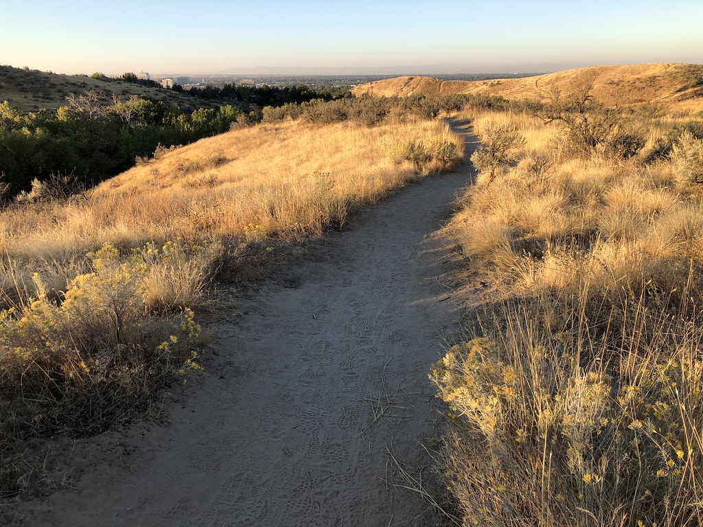 Who Now Loop #51Hiking · ~4 min drivePhoto: bgwashburn, CC BY 2.0 (via Flickr)
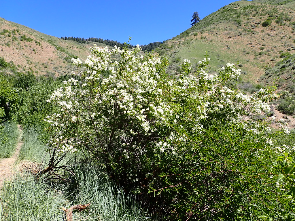 5-MileHiking · ~7 min drivePhoto: Matt Lavin, CC BY-SA 2.0 (via Flickr)
 #38 The Grove LoopHiking · ~4 min drivePhoto: bgwashburn, CC BY 2.0 (via Flickr)
 #20 RidgecrestHiking · ~5 min drivePhoto: cifraser1, CC BY 2.0 (via Flickr)
Also worth it near here
Best months: May–June and September–October. Best months have typical highs of 55–85 °F, lows of 30 °F or warmer (32 °F where the station doesn't record snow), at most one snowy day and no more than 12 wet days.
Jan
37° / 24°
13 wet · 9 snow
Feb
43° / 27°
12 wet · 6 snow
Mar
51° / 32°
13 wet · 5 snow
Apr
58° / 36°
11 wet · 3 snow
May
68° / 43°
11 wet · 1 snow
Jun
77° / 49°
7 wet
Jul
88° / 58°
4 wet
Aug
86° / 58°
3 wet
Sep
76° / 50°
5 wet
Oct
61° / 40°
7 wet · 1 snow
Nov
46° / 30°
12 wet · 5 snow
Dec
37° / 23°
14 wet · 9 snow
Typical high / low (°F) and days with rain or snow, 1991–2020. Measured at Boise 7 N, ID, 5.1 mi away at 3,885 ft. Source: NOAA NCEI U.S. Climate Normals 1991–2020.
Map and trail data © OpenStreetMap contributors
