

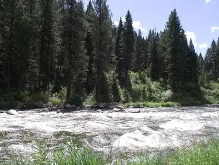

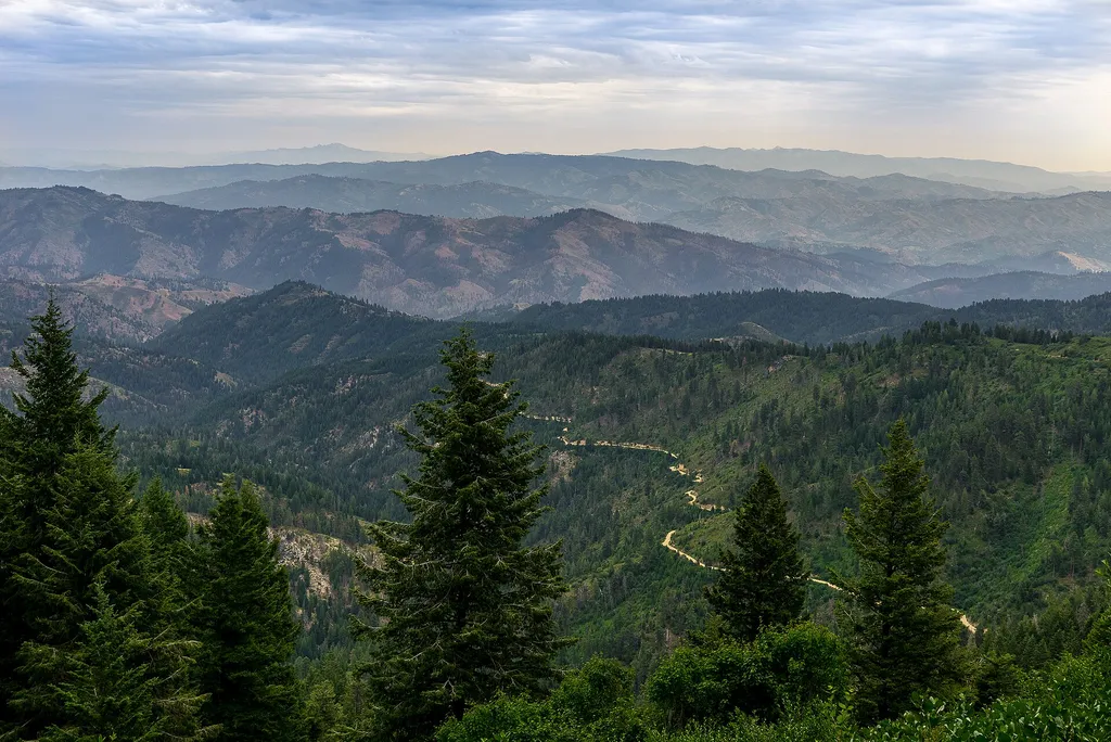
Riverpond Campground
Fishing business nearby (~3 mi away) — hasn't claimed their Roamze page yet
Free — you'll pick up right here.
Watch this water
Sign up to watch it — saving subscribes you to gate, closure and report changes.
Idaho
No agency boundary, access route or field report is mapped to it — so there is no verdict, and we won't guess. We'll tell you the moment this water has something to say.
Covered nearby
Waters within 25 miles where we do have a current picture.
Nobody's filed a report here yet — be the first.
Why you'll love it
Payette River: Deer Creek
AI-suggested draft · review before you go
The South Fork Payette River is a classic pool-drop river cooperatively managed by the BLM and Boise National Forest. Deer Creek launch is a main put-in spot for the Class III-IV, "Staircase" section of the South Fork Payette River. many boaters will launch here to avoid the three miles of calm water from the Confluence Site. The site is essentially a very broad gravel area adjacent to the Banks-Lowman Highway. The facilities include a steep, steel and wood boat ramp, portable toilet, and information kiosk. This is a fee parking area - $5.00/day or $30.00 season pass for the Boise National Forest Annual Day Use Pass. Day passes are available on-site.Purchase online Boise National Forest Annual Day Use PassPayette River Maps (Boater's Guide)
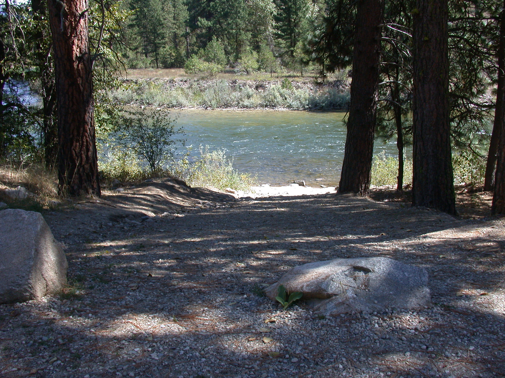
Payette River: Confluence
~3 min drive
A worthwhile stop near Idaho.
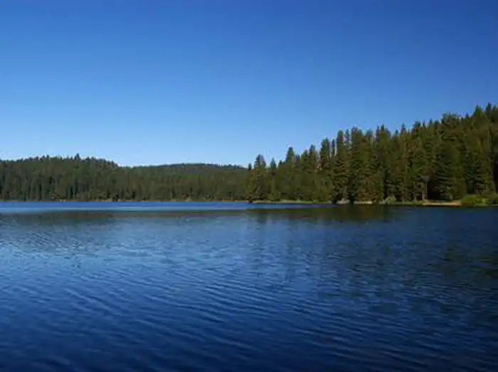
Eastside
~31 min drive
A worthwhile stop near Idaho.
Deadwood Reservoir
~38 min drive
Moderate
Boise River: Barber Park Access
~1h 1m drive
Easy
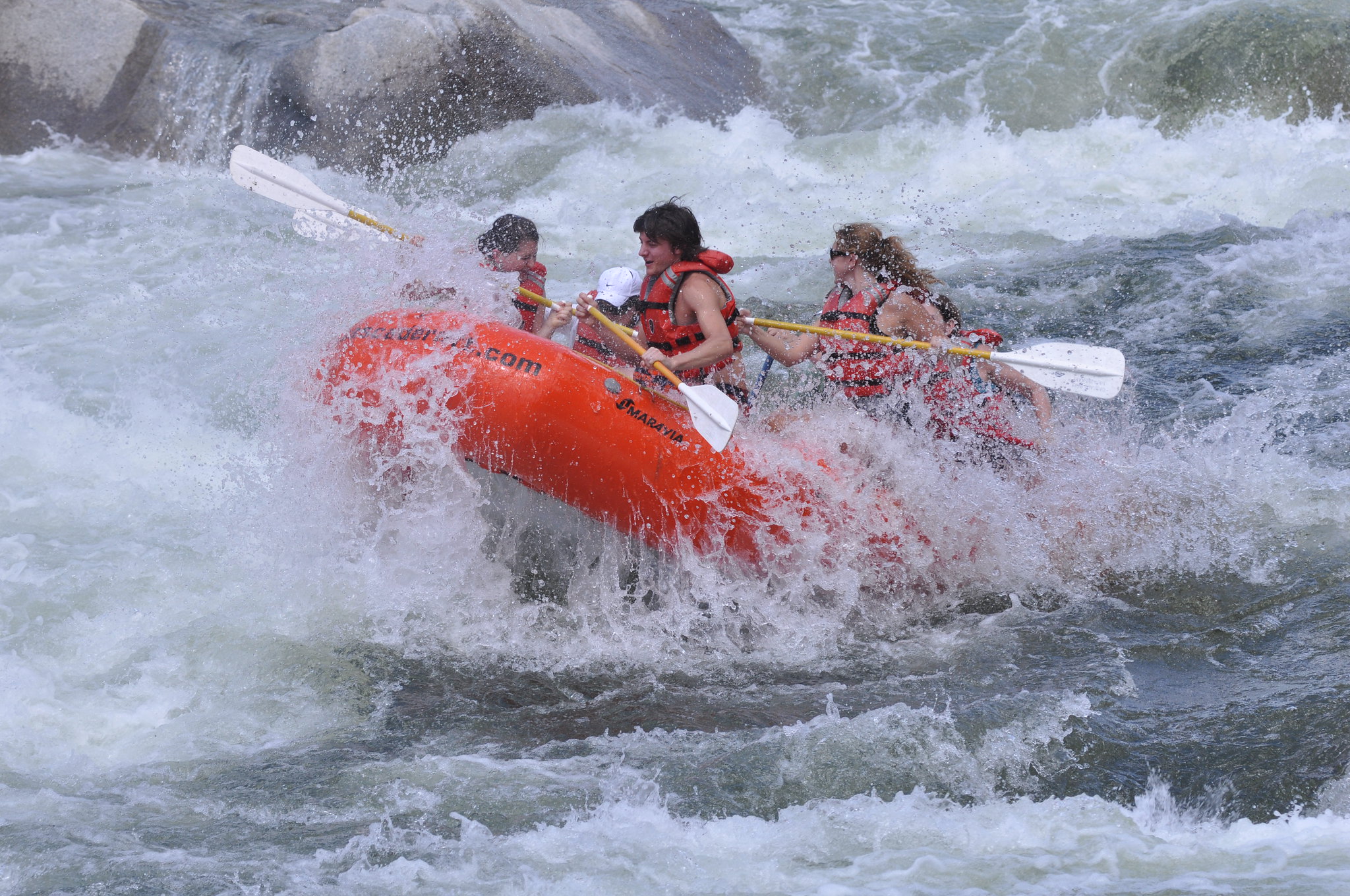
Payette River: South Fork
~8 min drive
A worthwhile stop near Idaho.
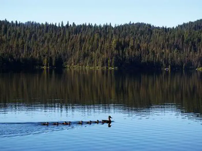
Sagehen Creek
~31 min drive
A worthwhile stop near Idaho.
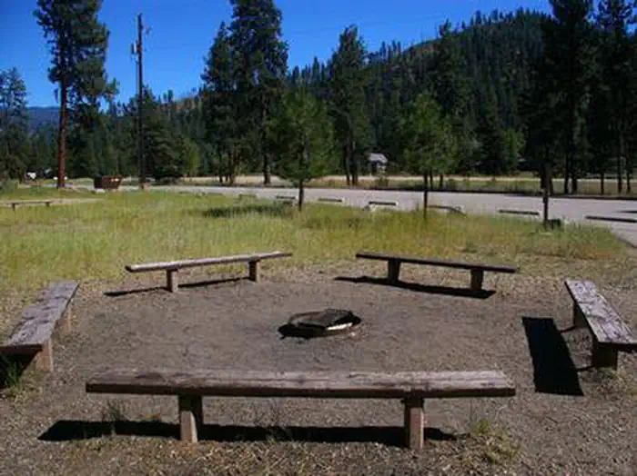
Hot Springs
~10 min drive
A worthwhile stop near Idaho.
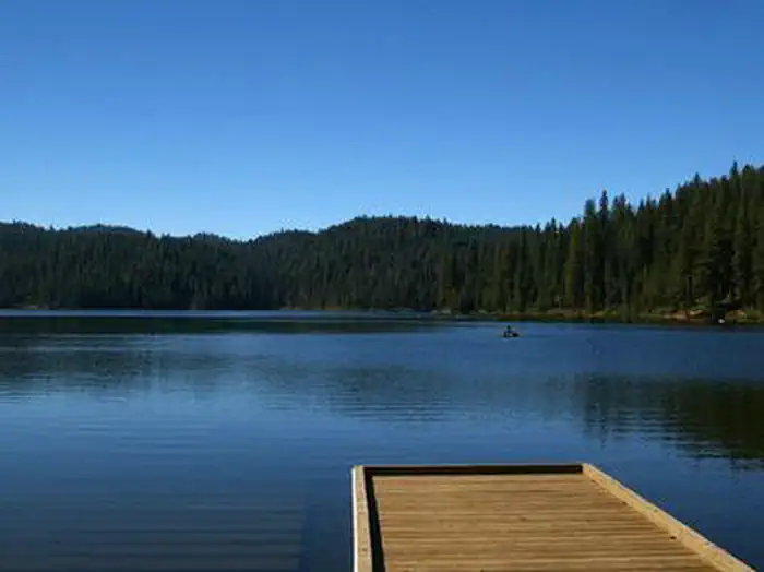
Antelope (Boise National Forest, ID)
~32 min drive
A worthwhile stop near Idaho.
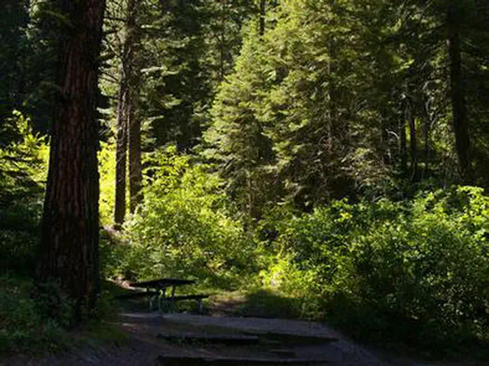
Swinging Bridge
~12 min drive
A worthwhile stop near Idaho.
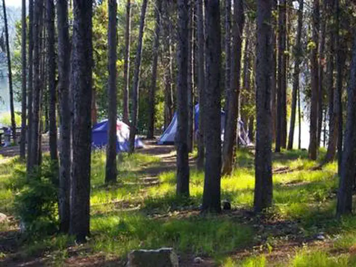
Cozy Cove
~40 min drive
A worthwhile stop near Idaho.
Local operators near Garden Valleyoffering guided trips. You book directly with them — Roamze doesn’t take a cut.
Riverpond Campground
Fishing business nearby (~3 mi away) — hasn't claimed their Roamze page yet
Middle Fork Campground
Fishing business nearby (~3 mi away) — hasn't claimed their Roamze page yet
Garden Valley RV Park
Fishing business nearby (~4 mi away) — hasn't claimed their Roamze page yet