Walter B. Williams Park Mtb
- 4.2 mi
- loop
- 153 ft
- climb
- 451 ft
- high point
- Loop
- route
- Oct–May
- best months
Walter B. Williams Park MTB is a 4.2-mile loop trail in Walter B. Williams Park, on county land in Georgia. The route starts at about 433 feet, climbs to a high point of 451 feet, and ends at a low of 338 feet. The climb is gentle, with the steepest stretch at about 1.4 miles, where the grade reaches 11 percent. Fall is the most comfortable time to go. Typical averages from a nearby weather station in Milledgeville show October highs around 78°F with lows near 52°F, and November highs near 68°F. Midsummer is hot, with July highs averaging about 93°F. The Walter B. Williams Park MTB GCA Loop Extension starts about 0.3 miles away. Fishing Creek Trail is about 3.8 miles off, and Fishing Creek itself offers canoeing about 4.3 miles away. Selma Erwin Nature Trail is about 6.5 miles away.
Best time to go · Oct–May
Best time to visit Walter B. Williams Park Mtb
Best months: October–May. Best months have typical highs of 55–85 °F, lows of 30 °F or warmer (32 °F where the station doesn't record snow), at most one snowy day and no more than 12 wet days.
Jan
58° / 33°
10 wet
Feb
62° / 36°
9 wet
Mar
69° / 42°
9 wet
Apr
77° / 49°
8 wet
May
84° / 58°
8 wet
Jun
90° / 67°
10 wet
Jul
93° / 70°
11 wet
Aug
91° / 70°
11 wet
Sep
86° / 64°
8 wet
Oct
78° / 52°
7 wet
Nov
68° / 40°
8 wet
Dec
60° / 36°
9 wet
Typical high / low (°F) and days with rain or snow, 1991–2020. Measured at Milledgeville, GA, 2 mi away at 368 ft. Source: NOAA NCEI U.S. Climate Normals 1991–2020.
Keep exploring — more trails worth the drive
 Photo: Paul.J.Hurtado, CC BY-SA 2.0 (via Flickr)
Creek Trail
~40 min drive
1.56-mile out-and-back trail in Georgia with 380 ft elevation gain and loss.
HIKE
Orange Trail
~30 min drive
5.16-mile out-and-back hike in Georgia with 675 ft elevation gain.
Photo: Paul.J.Hurtado, CC BY-SA 2.0 (via Flickr)Pine Trail
~40 min drive
1.42-mile out-and-back hike in Georgia with 217 ft elevation gain.
HIKE
Yellow Trail
~31 min drive
5.16-mile out-and-back trail in Georgia with 641 ft elevation gain
Photo: Paul.J.Hurtado, CC BY-SA 2.0 (via Flickr)Red Cockaded Woodpecker Trail
~41 min drive
1.95-mile loop in Georgia with 258 ft gain and 199 ft loss.
HIKE
Work Center Trail
~38 min drive
4.78-mile loop trail in Georgia with 336 ft elevation gain.
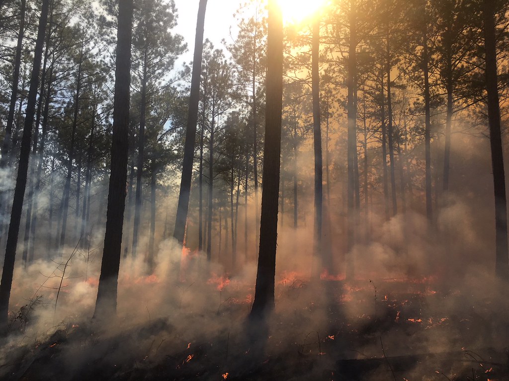 Photo: ChattOconeeNF, Public Domain Mark (via Flickr)
Hitchiti Loop Trail
~44 min drive
1.72-mile out-and-back hike in Georgia with 119 ft gain.
HIKE
Hitchiti Trail
~45 min drive
4.78-mile out-and-back trail in Georgia with 497 ft gain
 Photo: daveynin, CC BY 2.0 (via Flickr)
Visitor Center to the Great Temple Mound
~45 min drive
1.26-mile out-and-back to the Great Temple Mound in Georgia.
HIKE
Twin Bridges Trail
~16 min drive
3.26-mile out-and-back trail in Georgia with 362 ft gain
Map and trail data © OpenStreetMap contributors
