Swenson Trail
- 0.9 mi
- round trip
- 229 ft
- climb
- 621 ft
- high point
- Out and back
- route
- Oct–Apr
- best months
Swenson Trail is an easy 0.92-mile out-and-back hike on Fort Benning in Georgia, with a round-trip of about 1.8 miles. The route starts at about 611 feet and reaches a high point of 621 feet, with a total climb of 229 feet up and 229 feet down. The steepest stretch comes at about 0.41 miles in, with a grade of about 6 percent. Spring and fall are the most comfortable times to go. Typical averages from a nearby weather station in Lumpkin show April highs around 79°F and October highs near 80°F, while July and August average about 92°F. County Line Trail lies about 1.2 miles away, and Marquez Trail is about 2.1 miles off. For time on the water, Ochillee Creek is roughly 2.2 miles away, and Pine Knot Creek is about 8.6 miles away.
- County Line TrailHiking1.2 mi
- Marquez TrailHiking2.1 mi
- Ochillee CreekCanoeing2.2 mi
- Pine Knot CreekCanoeing8.6 mi
- Tank TrailHiking9.2 mi
- Shiloh TrailHiking9.3 mi
- Hichitee CreekCanoeing9.7 mi
Source: Roamze catalog (indexable pages within 10 miles, PostGIS distance)
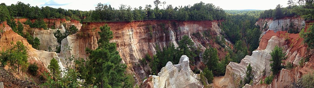 Canyon Loop TrailHiking · ~37 min drivePhoto: StephenGA, Public Domain Dedication (CC0) (via Flickr)
 Backcountry TrailHiking · ~37 min drivePhoto: StephenGA, Public Domain Dedication (CC0) (via Flickr)
- Pine Moutain TrailHiking · ~1h 4m drive
- CanyonsHiking · ~37 min drivePhoto: StephenGA, Public Domain Dedication (CC0) (via Flickr)
- County Line TrailHiking · ~4 min drive
 The Star Fort Walk WayHiking · ~57 min drivePhoto: Gary Lee Todd, Ph.D., Public Domain Dedication (CC0) (via Flickr)
- Buzancy TrailHiking · ~18 min drive
 Beaver Pond TrailHiking · ~1h 4m drivePhoto: Bas van Oorschot, CC BY-SA 3.0 (via Wikimedia Commons)
- Lumpkin TrailHiking · ~24 min drive
- County Line TrailHiking · ~2 min drive
Best time to visit Swenson Trail
Best months: October–April. Best months have typical highs of 55–85 °F, lows of 30 °F or warmer (32 °F where the station doesn't record snow), at most one snowy day and no more than 12 wet days.
Jan
60° / 34°
8 wet
Feb
65° / 36°
7 wet
Mar
72° / 41°
7 wet
Apr
79° / 48°
6 wet
May
86° / 57°
6 wet
Jun
91° / 64°
9 wet
Jul
92° / 68°
9 wet
Aug
92° / 67°
8 wet
Sep
88° / 62°
6 wet
Oct
80° / 51°
5 wet
Nov
71° / 39°
5 wet
Dec
63° / 35°
6 wet
Typical high / low (°F) and days with rain or snow, 1991–2020. Measured at Lumpkin 2 Se, GA, 20.1 mi away at 485 ft. Source: NOAA NCEI U.S. Climate Normals 1991–2020.
Map and trail data © OpenStreetMap contributors
