Red Trail
- 0.4 mi
- round trip
- 143 ft
- climb
- 1,190 ft
- high point
- Out and back
- route
- Feb–May, Sep–Dec
- best months
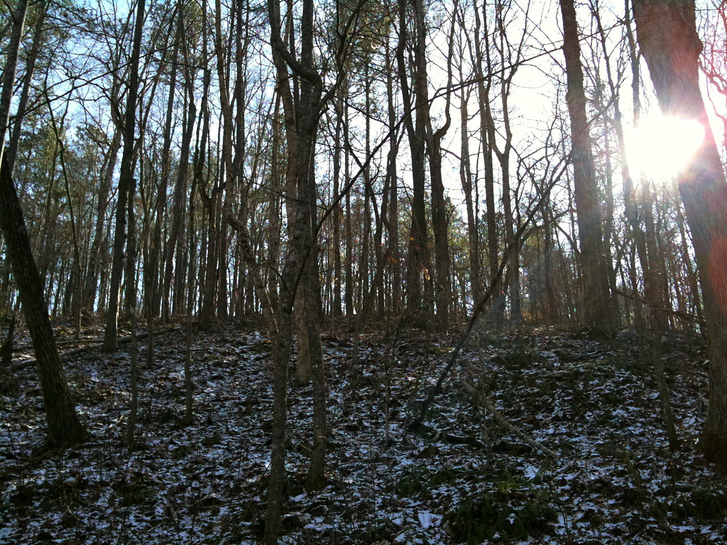
Red Trail is an easy, short hike of about 0.8 miles in Clinton Nature Preserve, a county-managed preserve in Georgia, and the route is set up as an out-and-back. The trail begins and ends at roughly 1,190 feet, with a back-loaded climb that reaches a high point of about 1,190 feet and drops back to about 1,068 feet. The steepest stretch comes early, around 0.17 miles in, and the total elevation gain and loss each add up to about 143 feet. Spring and fall are the most comfortable times to go. Typical averages from a nearby weather station in Carrollton put October highs around 73°F with lows near 50°F, and April is similar at about 74°F by day. The preserve sits on county land, and the trail is rated easy, so it works well as a quick outing or a stop while exploring the preserve's network of trails. Several other trails start close by. Nature Trail is about 0.1 mile away, Helter Skelter / Red Trail is about 0.2 mile away, and Yellow Trail and Blue Trail are each about 0.3 mile away. For paddling, the Little Tallapoosa River is about 6.3 miles away.
- Nature TrailHiking0.1 mi
 Helter Skelter / Red TrailHikingPhoto: hoyasmeg, CC BY 2.0 (via Flickr)0.2 mi
- Yellow TrailHiking0.3 mi
- Blue TrailHiking0.3 mi
- Granite LoopHikingPhoto: hoyasmeg, CC BY 2.0 (via Flickr)0.4 mi
- Old Pool RoadHikingPhoto: hoyasmeg, CC BY 2.0 (via Flickr)0.4 mi
 Little Tallapoosa RiverCanoeingPhoto: John Phelan, CC BY 4.0 (via Wikimedia Commons)6.3 mi
 Sweetwater CreekCanoeingPhoto: Dsdugan, CC BY-SA 4.0 (via Wikimedia Commons)6.5 mi
Source: Roamze catalog (indexable pages within 10 miles, PostGIS distance)
- Helter Skelter / Red TrailHiking · Next doorPhoto: hoyasmeg, CC BY 2.0 (via Flickr)
 White TrailHiking · ~24 min drivePhoto: jeffgunn, CC BY 2.0 (via Flickr)
- Granite LoopHiking · Next doorPhoto: hoyasmeg, CC BY 2.0 (via Flickr)
- Chattahoochee Loop (red)Hiking · ~21 min drive
- Old Pool RoadHiking · Next doorPhoto: hoyasmeg, CC BY 2.0 (via Flickr)
 Lower Creek TrailHiking · ~21 min drivePhoto: Jay Tamboli, CC BY 2.0 (via Flickr)
 Upper Wooten Gravel TrailHiking · ~21 min drivePhoto: EricEricson, CC BY-SA 3.0 (via Wikimedia Commons)
- Nature CenterHiking · ~22 min drivePhoto: EricEricson, CC BY-SA 3.0 (via Wikimedia Commons)
- Orange TrailHiking · ~22 min drivePhoto: EricEricson, CC BY-SA 3.0 (via Wikimedia Commons)
 Brown TrailHiking · ~24 min drivePhoto: Marcus O. Bst, CC BY-SA 2.0 (via Flickr)
Best time to visit Red Trail
Best months: February–May and September–December. Best months have typical highs of 55–85 °F, lows of 30 °F or warmer (32 °F where the station doesn't record snow), at most one snowy day and no more than 12 wet days.
Jan
54° / 32°
11 wet
Feb
58° / 34°
11 wet
Mar
66° / 40°
11 wet
Apr
74° / 48°
9 wet
May
81° / 57°
9 wet
Jun
87° / 65°
10 wet
Jul
90° / 69°
11 wet
Aug
88° / 68°
10 wet
Sep
83° / 62°
7 wet
Oct
73° / 50°
8 wet
Nov
64° / 39°
8 wet
Dec
56° / 34°
11 wet
Typical high / low (°F) and days with rain or snow, 1991–2020. Measured at Carrollton, GA, 14.3 mi away at 995 ft. Source: NOAA NCEI U.S. Climate Normals 1991–2020.
Map and trail data © OpenStreetMap contributors
