Perimeter Trail
- 0.5 mi
- one way
- 70 ft
- climb
- 983 ft
- high point
- Point to point
- route
- Feb–May, Sep–Nov
- best months
Perimeter Trail is an easy, short walk of about half a mile within Autrey Mill Nature Preserve, on county-managed land in Georgia. The route rises about 70 feet from a low point of 908 feet to a high of 983 feet, and it ends with a slight drop, so it works well as a point-to-point outing rather than a loop. Spring and fall are the most comfortable times to visit. Typical averages from a nearby weather station show October highs around 73°F with lows near 51°F, and April is similar at 73°F and 49°F. Midsummer highs climb into the upper 80s. The trail is close to several other outdoor spots. The Wildflower Trail starts just 0.1 mile away. Jones Bridge Park, a climbing area, is about 1.3 miles off. The Chattahoochee Nature Trail and the Medlock Bridge - Trail System are both within about 2.6 miles.
- Wildflower TrailHiking0.1 mi
- Jones Bridge ParkRock climbing1.3 mi
 Chattahoochee Nature TrailHikingPhoto: Chanilim714, CC BY-SA 3.0 (via Wikimedia Commons)2.5 mi
 Medlock Bridge - Trail SystemHikingPhoto: 走遍美国, CC BY 3.0 (via Wikimedia Commons)2.6 mi
- Chattahoochee RiverRiver fishing4.4 mi
- Big CreekCanoeing5.3 mi
 Sundrop BoulderRock climbingPhoto: TranceMist from Atlanta, USA, CC BY 2.0 (via Wikimedia Commons)5.7 mi
- Island FordRock climbing5.7 mi
Source: Roamze catalog (indexable pages within 10 miles, PostGIS distance)
- Chattahoochee Nature TrailHiking · ~4 min drivePhoto: Chanilim714, CC BY-SA 3.0 (via Wikimedia Commons)
 Vickery Creek TrailHiking · ~11 min drivePhoto: JimTiffinJr, CC BY 2.0 (via Flickr)
- Jones Bridge - Trail SystemHiking · ~5 min drive
- Medlock Bridge - Trail SystemHiking · ~4 min drivePhoto: 走遍美国, CC BY 3.0 (via Wikimedia Commons)
 Park Brooke TrailHiking · ~5 min drivePhoto: Chanilim714, CC BY-SA 3.0 (via Wikimedia Commons)
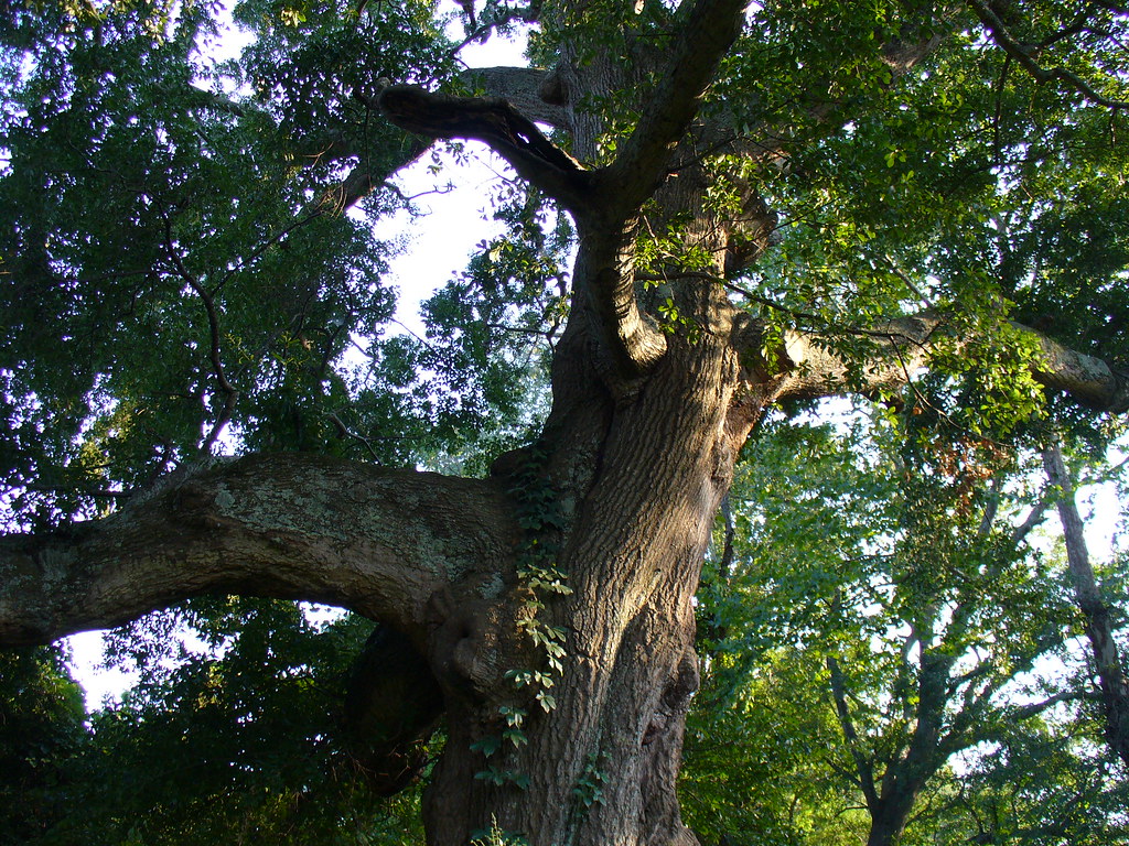 Abbotts Bridge - Trail SystemHiking · ~6 min drivePhoto: Texano Nativo, CC BY 2.0 (via Flickr)
 Pedestrian TrailHiking · ~8 min drivePhoto: Scott Long, CC BY 3.0 (via Wikimedia Commons)
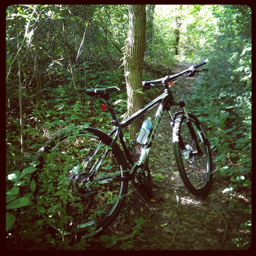 Roswell Riverside Path (alt)Hiking · ~10 min drivePhoto: jsnyng, CC BY 2.0 (via Flickr)
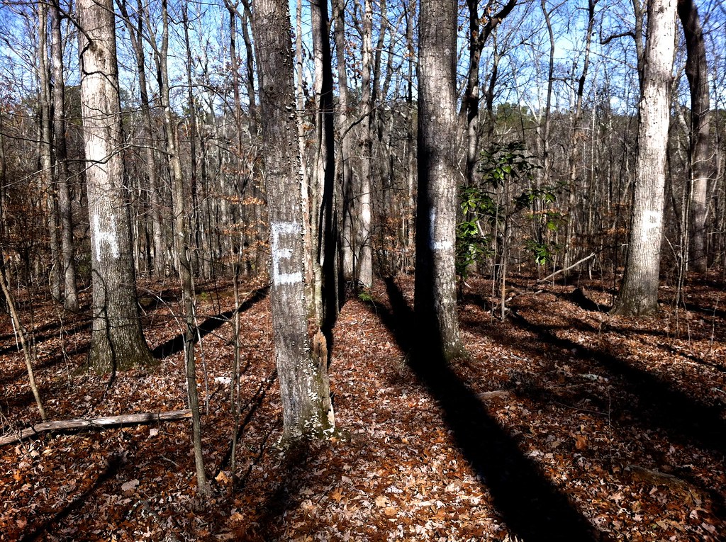 Oxbo TrailHiking · ~12 min drivePhoto: TranceMist, CC BY 2.0 (via Flickr)
 Vickery Creek TrailHiking · ~12 min drivePhoto: TranceMist, CC BY 2.0 (via Flickr)
Best time to visit Perimeter Trail
Best months: February–May and September–November. Best months have typical highs of 55–85 °F, lows of 30 °F or warmer (32 °F where the station doesn't record snow), at most one snowy day and no more than 12 wet days.
Jan
52° / 33°
11 wet
Feb
56° / 36°
11 wet
Mar
64° / 42°
11 wet
Apr
73° / 49°
10 wet
May
80° / 59°
11 wet
Jun
86° / 66°
12 wet
Jul
89° / 70°
12 wet
Aug
88° / 69°
11 wet
Sep
83° / 63°
9 wet
Oct
73° / 51°
9 wet
Nov
63° / 41°
9 wet
Dec
54° / 36°
11 wet
Typical high / low (°F) and days with rain or snow, 1991–2020. Measured at Atlanta Peachtree Ap, GA, 10.7 mi away at 1,002 ft. This station doesn't record snowfall. Source: NOAA NCEI U.S. Climate Normals 1991–2020.
Map and trail data © OpenStreetMap contributors
