Wildflower Trail
- 0.6 mi
- loop
- 103 ft
- climb
- 1,012 ft
- high point
- Loop
- route
- Feb–May, Sep–Nov
- best months
Wildflower Trail is a short, easy loop hike of about 0.57 miles in Autrey Mill Nature Preserve, on county land in Georgia. The trail rises about 100 feet from its lowest point at 913 feet to a high of 1012 feet, with the steepest stretch at about 0.44 miles in, where the grade reaches 10 percent. Spring and fall are the most comfortable times to go. Typical averages from a nearby weather station show October highs around 73°F with lows near 51°F, and April is similar at about 73°F by day and 49°F at night. The Perimeter Trail starts just 0.1 mile away. Jones Bridge Park, a climbing area, is about 1.3 miles off, and the Chattahoochee Nature Trail and Medlock Bridge - Trail System are both within about 2.6 miles.
Best time to go · Feb–May, Sep–Nov
Best time to visit Wildflower Trail
Best months: February–May and September–November. Best months have typical highs of 55–85 °F, lows of 30 °F or warmer (32 °F where the station doesn't record snow), at most one snowy day and no more than 12 wet days.
Jan
52° / 33°
11 wet
Feb
56° / 36°
11 wet
Mar
64° / 42°
11 wet
Apr
73° / 49°
10 wet
May
80° / 59°
11 wet
Jun
86° / 66°
12 wet
Jul
89° / 70°
12 wet
Aug
88° / 69°
11 wet
Sep
83° / 63°
9 wet
Oct
73° / 51°
9 wet
Nov
63° / 41°
9 wet
Dec
54° / 36°
11 wet
Typical high / low (°F) and days with rain or snow, 1991–2020. Measured at Atlanta Peachtree Ap, GA, 10.7 mi away at 1,002 ft. This station doesn't record snowfall. Source: NOAA NCEI U.S. Climate Normals 1991–2020.
Keep exploring — more trails worth the drive
 Photo: 走遍美国, CC BY 3.0 (via Wikimedia Commons)
Medlock Bridge - Trail System
~4 min drive
1.48-mile out-and-back trail in Georgia with 123 ft elevation gain.
 Photo: JimTiffinJr, CC BY 2.0 (via Flickr)
Vickery Creek Trail
~11 min drive
7.74-mile out-and-back hike in Georgia with 1,481 ft elevation gain.
HIKE
Jones Bridge - Trail System
~5 min drive
5.20-mile out-and-back trail in Georgia with 305 ft of elevation gain.
 Photo: Chanilim714, CC BY-SA 3.0 (via Wikimedia Commons)
Park Brooke Trail
~5 min drive
3.82-mile out-and-back trail in Georgia with 556 ft elevation gain.
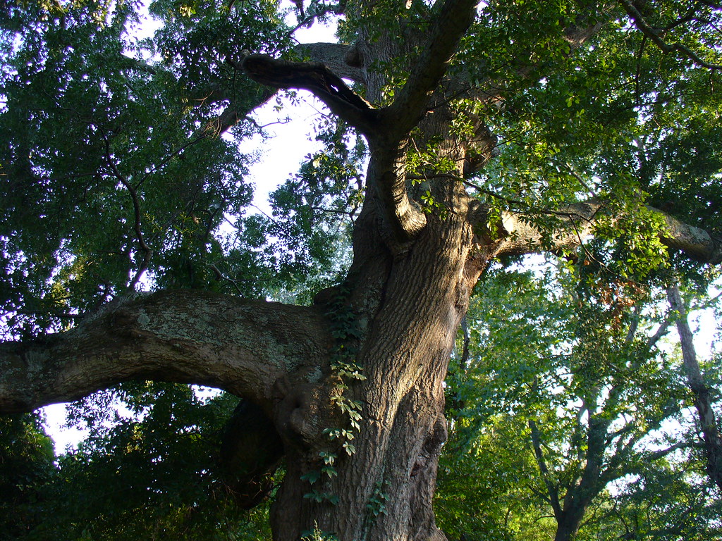 Photo: Texano Nativo, CC BY 2.0 (via Flickr)
Abbotts Bridge - Trail System
~6 min drive
0.40-mile out-and-back trail in Georgia managed by the NPS.
 Photo: Scott Long, CC BY 3.0 (via Wikimedia Commons)
Pedestrian Trail
~8 min drive
1.38-mile loop in Georgia with 162 ft gain and 157 ft loss.
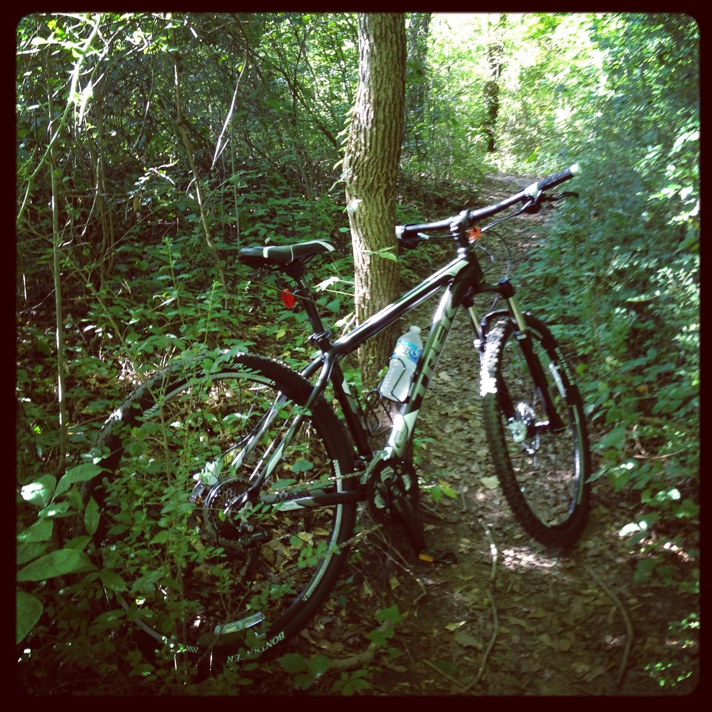 Photo: jsnyng, CC BY 2.0 (via Flickr)
Roswell Riverside Path (alt)
~10 min drive
0.84-mile out-and-back trail in Georgia with 123 ft of elevation gain.
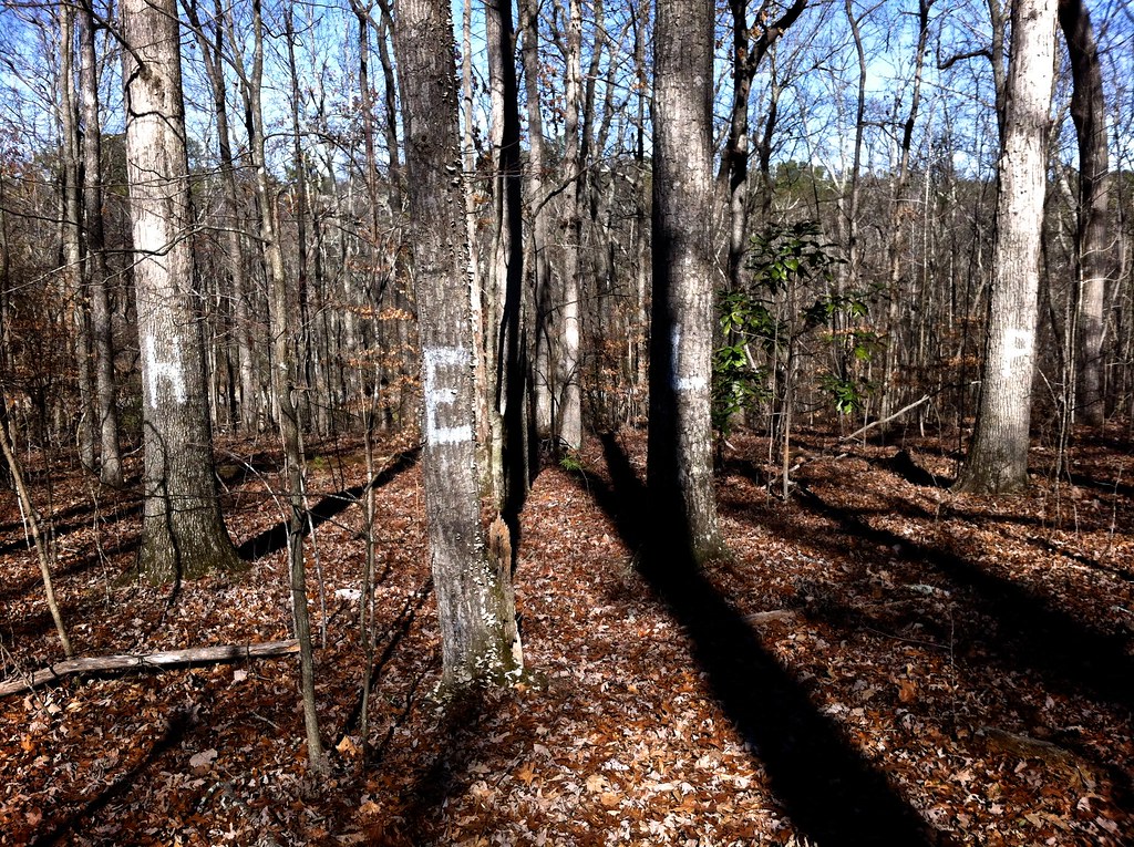 Photo: TranceMist, CC BY 2.0 (via Flickr)
Oxbo Trail
~12 min drive
1.0-mile out-and-back trail in Georgia with 119 ft elevation gain
 Photo: TranceMist, CC BY 2.0 (via Flickr)
Vickery Creek Trail
~12 min drive
0.66-mile out-and-back trail in Georgia with 90 ft elevation gain.
 Photo: TranceMist, CC BY 2.0 (via Flickr)
Gold Branch - Trail System
~15 min drive
1.02-mile out-and-back trail in Georgia with 24 ft of elevation gain.

Map and trail data © OpenStreetMap contributors
