Chickamauga Battlefield Group Campground
Campground
Campground · 0.9 mi from the trail
No closures listed
The National Park Service lists no closures for Chickamauga and Chattanooga National Military Park.
As of · Source: NPS · Chickamauga and Chattanooga National Military Park. Agencies don't list every closure — check before you go.
Green Trail is a short, easy out-and-back hike in Chickamauga and Chattanooga National Military Park in Georgia, managed by the National Park Service. The trail is about 0.8 miles long and rises about 36 feet from its low point of 721 feet to a high of 782 feet. The climb is back-loaded, with the steepest stretch at about 0.4 miles in, where the grade reaches 10 percent. Spring and fall are the most comfortable times to go. Typical averages from a nearby weather station show October highs around 75°F with lows near 47°F, and April highs around 73°F. July and August average highs near 89°F. The hike takes about half an hour. Trail Green 2 starts just 0.1 mile away, and Trail Orange 5A and the Yellow Trail are within half a mile. Paddlers can reach the Catoosa County Blueway about 0.7 mile off.
Chickamauga Battlefield Group Campground
Campground
BBQ Shack
Restaurant
 If it rainsC4K3, CC BY-SA 4.0 · Wikimedia Commons
Tow truck museum
Places © OpenStreetMap contributors · Photos: C4K3, CC BY-SA 4.0 (commons)
More in Red BankBest months: February–May and September–November. Best months have typical highs of 55–85 °F, lows of 30 °F or warmer (32 °F where the station doesn't record snow), at most one snowy day and no more than 12 wet days.
Jan
51° / 29°
10 wet
Feb
56° / 32°
10 wet
Mar
64° / 37°
10 wet
Apr
73° / 45°
9 wet
May
80° / 54°
10 wet
Jun
86° / 63°
9 wet
Jul
89° / 66°
11 wet
Aug
89° / 66°
9 wet
Sep
84° / 59°
7 wet
Oct
75° / 47°
7 wet
Nov
62° / 35°
8 wet
Dec
53° / 31°
10 wet
Typical high / low (°F) and days with rain or snow, 1991–2020. Measured at Chickamauga Pk Larc, GA, 1.4 mi away at 782 ft. This station doesn't record snowfall. Source: NOAA NCEI U.S. Climate Normals 1991–2020.
 Photo: Gary Lee Todd, Ph.D., Public Domain Dedication (CC0) (via Flickr)
Trail Tan 2
Next door
0.56-mile out-and-back trail in Georgia with 22 ft of elevation gain.
HIKE
Sarah Key Patten
~10 min drive
0.55-mile out-and-back trail in Tennessee with 774 ft gain and 2,193 ft loss.
Photo: Gary Lee Todd, Ph.D., Public Domain Dedication (CC0) (via Flickr)Tan
~2 min drive
0.50-mile out-and-back trail in Georgia with 29 ft of elevation gain.
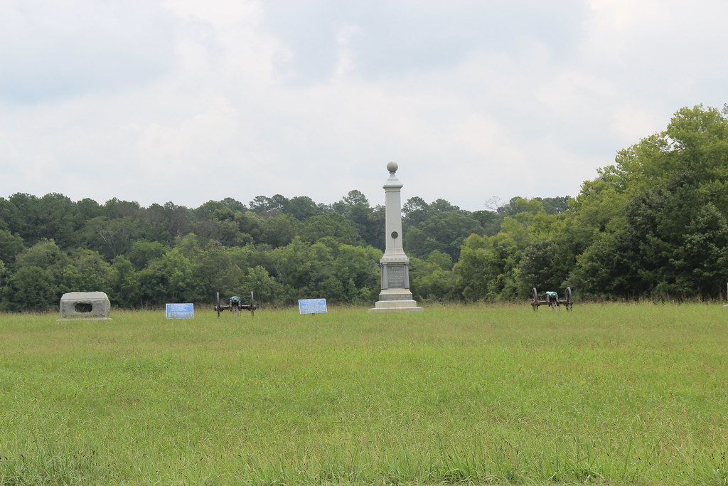 Photo: Gary Lee Todd, Ph.D., Public Domain Dedication (CC0) (via Flickr)
Trail Blue 3
~2 min drive
2.22-mile out-and-back hike in Georgia with 34 ft of elevation gain.
Photo: Gary Lee Todd, Ph.D., Public Domain Dedication (CC0) (via Flickr)Trail Yellow 4
~2 min drive
Trail Yellow 4 is a 1.16-mile out-and-back in Georgia with 32 ft of elevation gain.
 Photo: Gary Lee Todd, Ph.D., Public Domain Dedication (CC0) (via Flickr)
Trail Yellow 3D
~3 min drive
1.08-mile out-and-back trail in Georgia with 11 ft of elevation gain.
Photo: Gary Lee Todd, Ph.D., Public Domain Dedication (CC0) (via Flickr)Trail Yellow 3C
~4 min drive
3.31-mile out-and-back trail in Georgia with 174 ft gain
HIKE
Trail Orange 5A
Next door
1.78-mile out-and-back hike in Georgia with 68 ft of elevation gain.
HIKE
Yellow Trail
Next door
Easy 0.99-mile out-and-back trail in Georgia.
HIKE
Trail Yellow 2
Next door
0.88-mile out-and-back trail in Georgia with 23 ft of elevation gain.
Map and trail data © OpenStreetMap contributors
