Canterbury Trail
- 0.5 mi
- round trip
- 68 ft
- climb
- 925 ft
- high point
- Out and back
- route
- Feb–May, Sep–Dec
- best months
Canterbury Trail is a short, easy out-and-back hike in Georgia, set on county land within the Greenspace Program Acquisition. The route is about 0.9 miles long, with a total elevation gain of 68 feet, and it starts at roughly 907 feet, reaching a high point of 925 feet before returning to nearly the same level. The trail is rated easy, and the climb is flat, so it works well as a quick stop or a warm-up before a longer outing. Spring and fall are the most comfortable times to go. Typical averages from a nearby weather station show October highs around 74°F with lows near 50°F, and April is similar at about 74°F by day and 48°F at night. July is the hottest month, with highs near 90°F. The trail is close to several other places. Picket Line Trail is about 4.5 miles away, and Casemate Battery Trail is about 4.6 miles away. For an overnight stay, Payne Campground-Allatoona Lake is about 6 miles off, and Butler Creek Boulders offers climbing about 7.8 miles away.
- Picket Line TrailHiking4.5 mi
- Visitor Center Cut-Off TrailHiking4.6 mi
- Casemate Battery TrailHiking4.6 mi
 Payne Campground-Allatoona LakeCampingPhoto: Recreation.gov (RIDB) / public domain6 mi
- Butler Creek BouldersRock climbing7.8 mi
- Allatoona LakeLake fishing8.2 mi
- Galt's Ferry Day Use Area (ga)Camping8.7 mi
- Victoria CampgroundCamping8.9 mi
Source: Roamze catalog (indexable pages within 10 miles, PostGIS distance)
 Brumby Camp CircleHiking · ~8 min drivePhoto: Gary Lee Todd, Ph.D., Public Domain Dedication (CC0) (via Flickr)
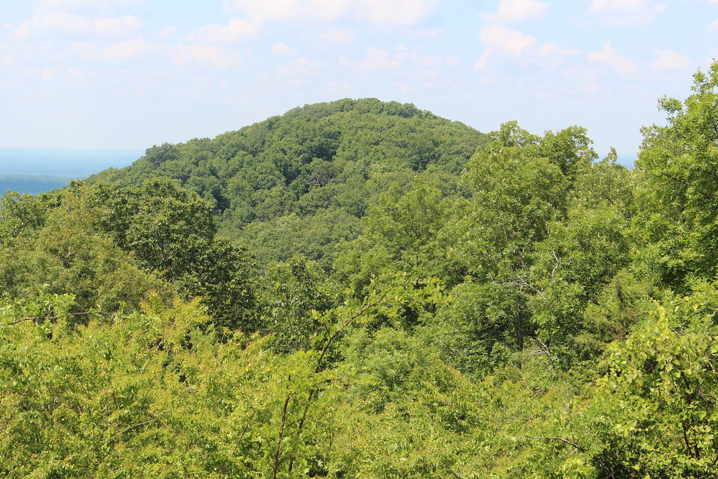 Little Kennesaw TrailHiking · ~10 min drivePhoto: Thomson20192, Public Domain Dedication (CC0) (via Flickr)
- Mountain To River Multi-Use TrailHiking · ~8 min drive
 Kennesaw Mountain TrailHiking · ~8 min drivePhoto: twslivxe26, CC BY-SA 2.0 (via Flickr)
- Pigeon Hill TrailHiking · ~11 min drivePhoto: Thomson20192, Public Domain Dedication (CC0) (via Flickr)
- Brumby Camp TrailHiking · ~8 min drivePhoto: twslivxe26, CC BY-SA 2.0 (via Flickr)
- East Cobb TrailHiking · ~11 min drive
- Pigeon Hill CutoffHiking · ~10 min drivePhoto: Thomson20192, Public Domain Dedication (CC0) (via Flickr)
- Bent TrailHiking · ~15 min drive
 East TrailHiking · ~10 min drivePhoto: twslivxe26, CC BY-SA 2.0 (via Flickr)
Best time to visit Canterbury Trail
Best months: February–May and September–December. Best months have typical highs of 55–85 °F, lows of 30 °F or warmer (32 °F where the station doesn't record snow), at most one snowy day and no more than 12 wet days.
Jan
52° / 31°
11 wet
Feb
57° / 34°
11 wet
Mar
65° / 40°
11 wet
Apr
74° / 48°
10 wet
May
81° / 57°
10 wet
Jun
87° / 65°
11 wet
Jul
90° / 68°
12 wet
Aug
89° / 68°
10 wet
Sep
84° / 61°
8 wet
Oct
74° / 50°
8 wet
Nov
64° / 39°
9 wet
Dec
55° / 34°
11 wet
Typical high / low (°F) and days with rain or snow, 1991–2020. Measured at Dallas 7 Ne, GA, 12.5 mi away at 1,028 ft. This station doesn't record snowfall. Source: NOAA NCEI U.S. Climate Normals 1991–2020.

Map and trail data © OpenStreetMap contributors
