Beach & Campground Loop Trails
- 0.6 mi
- round trip
- 116 ft
- climb
- 452 ft
- high point
- Out and back
- route
- Oct–May
- best months
Beach & Campground Loop Trails is a 1.16-mile out-and-back trail in Georgia with 116 feet of elevation gain and loss. The route returns via the same path it went out on.
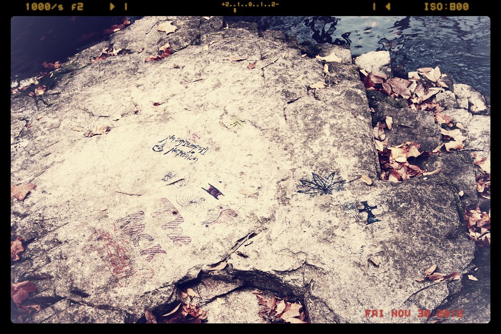 Canal Pump House TrailHiking · ~42 min drivePhoto: Sir Mildred Pierce, CC BY 2.0 (via Flickr)
- Bartram TrailHiking · ~7 min drive
- Augusta Canal TrailHiking · ~37 min drive
- Pioneer Campground trailHiking · Next door
- ModocHiking · ~21 min drive
- River Levee TrailHiking · ~55 min drive
- Campground Loop TrailHiking · Next door
- Forks TrailHiking · ~30 min drive
- Main TrailHiking · ~1h 3m drive
- Office TrailHiking · ~1 min drive
Best time to visit Beach & Campground Loop Trails
Best months: October–May. Best months have typical highs of 55–85 °F, lows of 30 °F or warmer (32 °F where the station doesn't record snow), at most one snowy day and no more than 12 wet days.
Jan
57° / 32°
Feb
61° / 35°
Mar
69° / 41°
Apr
76° / 49°
May
83° / 58°
Jun
88° / 67°
Jul
91° / 70°
Aug
90° / 69°
Sep
86° / 63°
Oct
77° / 51°
Nov
67° / 40°
Dec
59° / 35°
Typical high / low (°F) and days with rain or snow, 1991–2020. Measured at Appling 2 Nw, GA, 7.4 mi away at 396 ft. This station doesn't record snowfall. Source: NOAA NCEI U.S. Climate Normals 1991–2020.
Map and trail data © OpenStreetMap contributors
