Armadillo Run
- 1.2 mi
- loop
- 31 ft
- climb
- 833 ft
- high point
- Loop
- route
- Feb–May, Sep–Dec
- best months
Armadillo Run is a short, easy loop hike in Georgia, about 1.7 miles from the town of Whitesburg. The trail is roughly 1.2 miles long, with a one-way climb of about 31 feet from a starting elevation of 815 feet to a high point of 833 feet. The steepest stretch comes at about 0.4 miles in, with a grade of about 6 percent. Spring and fall are the most comfortable times to go. Typical averages from a nearby weather station in Newnan show October highs around 75°F with lows near 49°F, and April is similar at about 75°F by day and 47°F at night. July highs typically reach about 90°F. Several other hikes sit close by. Snake Creek is about 0.2 miles away, Horace King about 0.3 miles, and River Bluff about 0.4 miles. For paddling, Cedar Creek is about 5.3 miles off.
Best time to go · Feb–May, Sep–Dec
Best time to visit Armadillo Run
Best months: February–May and September–December. Best months have typical highs of 55–85 °F, lows of 30 °F or warmer (32 °F where the station doesn't record snow), at most one snowy day and no more than 12 wet days.
Jan
54° / 31°
11 wet
Feb
59° / 34°
10 wet
Mar
67° / 39°
10 wet
Apr
75° / 47°
9 wet
May
81° / 56°
10 wet
Jun
87° / 65°
10 wet
Jul
90° / 68°
11 wet
Aug
89° / 68°
10 wet
Sep
84° / 62°
7 wet
Oct
75° / 49°
7 wet
Nov
66° / 39°
8 wet
Dec
57° / 33°
10 wet
Typical high / low (°F) and days with rain or snow, 1991–2020. Measured at Newnan 7 Wnw, GA, 6.9 mi away at 795 ft. This station doesn't record snowfall. Source: NOAA NCEI U.S. Climate Normals 1991–2020.
Keep exploring — more trails worth the drive
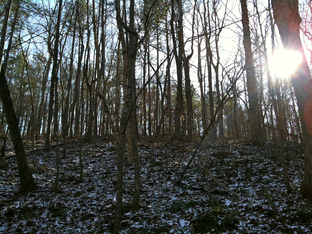 Photo: Jay Tamboli, CC BY 2.0 (via Flickr)
Lower Creek Trail
~6 min drive
0.55-mile out-and-back hike on Lower Creek Trail in Georgia
HIKE
Bend Trail
~12 min drive
5.48-mile out-and-back hike in Georgia with 594 ft elevation gain.
 Photo: EricEricson, CC BY-SA 3.0 (via Wikimedia Commons)
Upper Wooten Gravel Trail
~18 min drive
1.34-mile out-and-back gravel trail in Georgia with 119 ft elevation gain
HIKE
Wild Turkey Trail
~13 min drive
7.88-mile out-and-back trail in Georgia with 1,074 ft elevation gain
Photo: EricEricson, CC BY-SA 3.0 (via Wikimedia Commons)Orange Trail
~20 min drive
1.7-mile out-and-back trail in Georgia with 519 ft elevation gain.
HIKE
Riverside Trail
~14 min drive
3.88-mile out-and-back hike in Georgia with 1,129 ft elevation gain.
Photo: EricEricson, CC BY-SA 3.0 (via Wikimedia Commons)Nature Center
~20 min drive
1.06-mile out-and-back trail at Nature Center in Georgia with 311 ft gain.
HIKE
Chattahoochee Loop (red)
~30 min drive
7.24-mile out-and-back trail in Georgia with 1,535 ft elevation gain and loss.
 Photo: hoyasmeg, CC BY 2.0 (via Flickr)
Granite Loop
~25 min drive
0.82-mile loop in Georgia with 76 ft gain and 139 ft loss.
Photo: hoyasmeg, CC BY 2.0 (via Flickr)Old Pool Road
~25 min drive
0.30-mile out-and-back trail in Georgia with 126 ft elevation gain.

Map and trail data © OpenStreetMap contributors
