Z4 Need Name 15
- 2.1 mi
- round trip
- 13 ft
- climb
- 5 ft
- high point
- Out and back
- route
- Nov–Apr
- best months
Is Z4 Need Name 15 open right now?
No closures listed
The National Park Service lists no closures for Big Cypress National Preserve.
As of · Source: NPS · Big Cypress National Preserve. Agencies don't list every closure — check before you go.
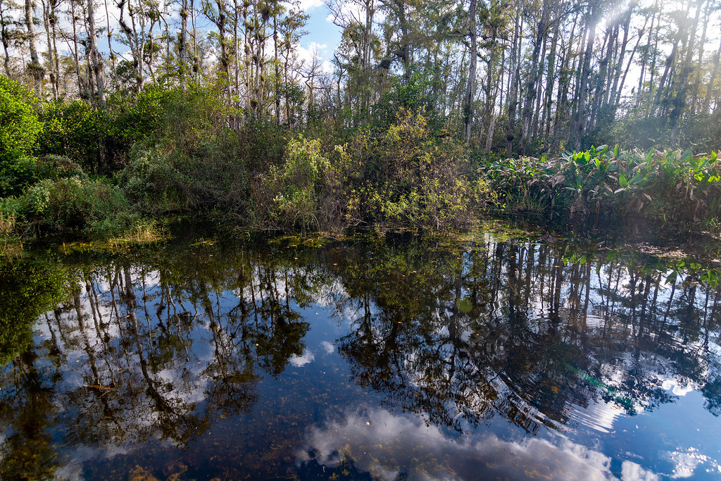
Z4 Need Name 15 is an easy, flat out-and-back hike in Big Cypress National Preserve in Florida, managed by the National Park Service. The route is about 4.2 miles long, with a total elevation gain of 13 feet, so it is a low-effort walk that stays nearly level from start to finish. The most comfortable months for a visit are typically the cooler part of the year. Typical averages from a nearby weather station show January highs around 77°F with lows near 59°F, while July and August average highs of about 93°F. The hike is about 0.1 mile from Hess Hammock, and Boundary Line is about 1.9 miles away. Farther out, the Eastern Continental Trail (South Florida Roadwalk) and Pace's Dike are both within about 7.5 miles.
Local outfitters
- Everglades Area Tours28 mi away
- Tour The Glades - Wildlife Tours30 mi away
Not on Roamze yet. Their page has how to reach them.
- Hess HammockHiking0.1 mi
- Boundary LineHiking1.9 mi
- Z4 Need Name 6Hiking7.1 mi
 Eastern Continental Trail (South Florida Roadwalk)HikingPhoto: RuggyBearLA, CC BY 2.0 (via Flickr)7.3 mi
- Pace's DikeHikingPhoto: RuggyBearLA, CC BY 2.0 (via Flickr)7.4 mi
- Z4 Need Name 4Hiking7.7 mi
- Z4 Need Name 5Hiking7.7 mi
- Red Bird LaneHiking8.1 mi
Source: Roamze catalog (indexable pages within 10 miles, PostGIS distance)
- Roberts Lakes TrailHiking · ~13 min drivePhoto: RuggyBearLA, CC BY 2.0 (via Flickr)
- Eastern Continental Trail (South Florida Roadwalk)Hiking · ~13 min drivePhoto: RuggyBearLA, CC BY 2.0 (via Flickr)
- Red Bird LaneHiking · ~14 min drive
- Boundary LineHiking · ~3 min drive
- Pace's DikeHiking · ~13 min drivePhoto: RuggyBearLA, CC BY 2.0 (via Flickr)
- Z4 Need Name 4Hiking · ~13 min drive
 Otter Cave Hammock TrailHiking · ~19 min drivePhoto: edenpictures, CC BY 2.0 (via Flickr)
- Fennell CampHiking · ~25 min drive
 NWST RTE 224 Shark Valley Loop RoadHiking · ~19 min drivePhoto: edenpictures, CC BY 2.0 (via Flickr)
- Jet PortHiking · ~28 min drive
Best time to visit Z4 Need Name 15
Best months: November–April. Best months have typical highs of 55–85 °F, lows of 30 °F or warmer (32 °F where the station doesn't record snow), at most one snowy day and no more than 12 wet days.
Jan
77° / 59°
Feb
80° / 60°
Mar
82° / 61°
Apr
85° / 63°
May
89° / 68°
Jun
91° / 73°
Jul
93° / 78°
Aug
93° / 77°
Sep
91° / 76°
Oct
88° / 74°
Nov
83° / 67°
Dec
79° / 62°
Typical high / low (°F) and days with rain or snow, 1991–2020. Measured at Tamiami Trail 40 Mi Bend, FL, 7.9 mi away at 15 ft. This station doesn't record snowfall. Source: NOAA NCEI U.S. Climate Normals 1991–2020.

