Eastern Continental Trail (South Florida Roadwalk)
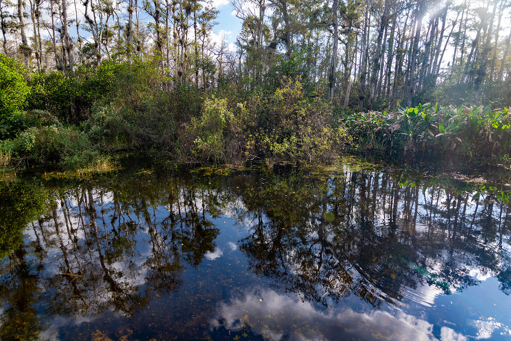 Photo: RuggyBearLA, CC BY 2.0 (via Flickr)
- 34.2 mi
- one way
- 14 ft
- high point
- Point to point
- route
- Easy
- difficulty
- Nov–Mar
- best months
Caution at last check
Weather is marginal · OpenWeather · checked 22 h ago
Is Eastern Continental Trail (South Florida Roadwalk) open right now?
No closures listed
The National Park Service lists no closures for Big Cypress National Preserve.
As of · Source: NPS · Big Cypress National Preserve. Agencies don't list every closure — check before you go.
The South Florida Roadwalk section of the Eastern Continental Trail is a 34-mile easy walk through Big Cypress National Preserve in southern Florida. It is a point-to-point route with no elevation gain, running from a starting point of about 7 feet to a high of 14 feet and back down to 3 feet. The National Park Service manages the land. The most comfortable time to go is from about November through February, when typical highs sit in the upper 70s to low 80s and wet days run around five to seven a month, according to averages from a nearby weather station at Oasis. Summer brings highs in the low 90s and rain on roughly half the days. Pace's Dike lies just 0.1 mile away, and the Gator Hook Trail is about 6 miles off. The Eastern Continental Trail and CDU Oasis are each roughly 7 miles away.
Local outfitters
- Everglades Area Tours21 mi away
- Tour The Glades - Wildlife Tours23 mi away
Not on Roamze yet. Their page has how to reach them.
Best time to go · Nov–Mar
Best time to visit Eastern Continental Trail (South Florida Roadwalk)
Best months: November–March. Best months have typical highs of 55–85 °F, lows of 30 °F or warmer (32 °F where the station doesn't record snow), at most one snowy day and no more than 12 wet days.
Jan
78° / 55°
7 wet
Feb
81° / 57°
5 wet
Mar
83° / 58°
6 wet
Apr
87° / 62°
6 wet
May
91° / 66°
10 wet
Jun
92° / 72°
17 wet
Jul
93° / 75°
18 wet
Aug
94° / 76°
19 wet
Sep
92° / 76°
17 wet
Oct
89° / 71°
11 wet
Nov
84° / 64°
6 wet
Dec
80° / 59°
6 wet
Typical high / low (°F) and days with rain or snow, 1991–2020. Measured at Oasis Rs, FL, 6.9 mi away at 8 ft. Source: NOAA NCEI U.S. Climate Normals 1991–2020.
Keep exploring — more trails worth the drive
Photo: RuggyBearLA, CC BY 2.0 (via Flickr)Pace's Dike
Next door
3.23-mile out-and-back trail in Florida with 11 ft elevation gain.
HIKE
Red Bird Lane
~13 min drive
21.95-mile out-and-back trail in Florida with 23 ft gain.
HIKE
Monroe South
~14 min drive
5.82-mile out-and-back trail in Florida with 142 ft elevation gain
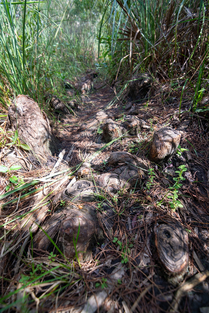 Photo: RuggyBearLA, CC BY 2.0 (via Flickr)
Gator Hook Trail
~11 min drive
2.31-mile out-and-back trail in Florida with 97 ft of elevation gain.
HIKE
Z4 Need Name 4
~14 min drive
6.61-mile out-and-back trail in Florida with 10 ft gain.
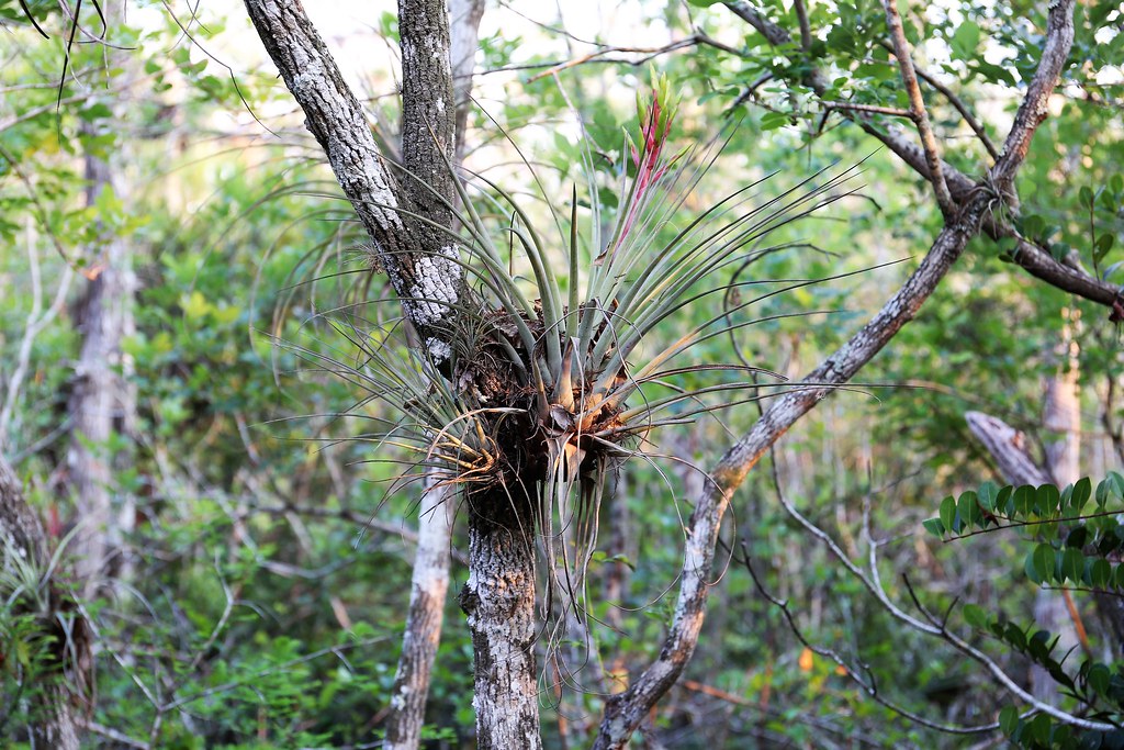 Photo: Khajjit75, CC BY 2.0 (via Flickr)
Kirby Storter Nature Trail
~18 min drive
Short point-to-point nature walk through Florida preserve.
HIKE
Z4 Need Name 5
~14 min drive
5.46-mile out-and-back trail in Florida with 18 ft elevation gain
 Photo: Andrew Turner, CC BY 2.0 (via Flickr)
Monument Bypass
~24 min drive
3.38-mile out-and-back trail in Florida with 112 ft gain.
HIKE
Boundary Line
~16 min drive
7.84-mile out-and-back trail in Florida with 6 ft gain.
Photo: Andrew Turner, CC BY 2.0 (via Flickr)Poppenhager
~24 min drive
3.65-mile out-and-back trail in Florida with 36 ft elevation gain.

Map and trail data © OpenStreetMap contributors
