Warmup Trail
- 1.0 mi
- loop
- 111 ft
- climb
- 133 ft
- high point
- Loop
- route
- Oct–Apr
- best months
Warmup Trail is a 1-mile loop hike in Florida, about 2 miles from the town of Chaires. The trail is a short, easy walk, with a steady climb of 111 feet from the start to the high point at 133 feet before returning to the low point of 81 feet. The steepest stretch comes around 0.6 miles in, with a grade of about 4%. Spring and fall are the most comfortable times to go. Typical averages from a nearby weather station show October highs around 80°F with lows near 58°F, while July highs reach about 91°F. The trail is close to several other routes. Apalachee Regional Park Trail starts just 0.1 mile away, and Bluebird Trail is about a mile off. Alford Loop and Longleaf Trail lie within 2 miles.
- Apalachee Regional Park TrailHiking0.1 mi
- Bluebird TrailHiking1.1 mi
- Alford LoopHiking1.6 mi
- Longleaf TrailHiking1.8 mi
- East Lafayette Heritage TrailHiking1.9 mi
- Bill's TrailHiking2 mi
- Dead Cat AlleyRock climbing6.1 mi
- Broken Glass BridgeRock climbing8.9 mi
Source: Roamze catalog (indexable pages within 10 miles, PostGIS distance)
 Capital Circle Office Center Nature TrailHiking · ~10 min drivePhoto: fincher69, CC BY 2.0 (via Flickr)
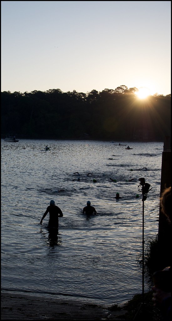 Alfred B. Maclay Gardens State Park TrailHiking · ~15 min drivePhoto: fincher69, CC BY 2.0 (via Flickr)
- Miccosukee Greenway TrailHiking · ~9 min drive
- Apalachee Regional Park TrailHiking · Next door
- Blue TrailHiking · ~7 min drive
- Bluebird TrailHiking · ~2 min drive
- Killearn TrailHiking · ~12 min drive
- Alford Loop/Bluebird TrailHiking · ~2 min drive
- Alford LoopHiking · ~3 min drive
- Alford Loop/Bluebird TrailHiking · ~3 min drive
Best time to visit Warmup Trail
Best months: October–April. Best months have typical highs of 55–85 °F, lows of 30 °F or warmer (32 °F where the station doesn't record snow), at most one snowy day and no more than 12 wet days.
Jan
63° / 41°
Feb
67° / 44°
Mar
73° / 48°
Apr
79° / 54°
May
86° / 62°
Jun
89° / 69°
Jul
91° / 72°
Aug
90° / 71°
Sep
87° / 68°
Oct
80° / 58°
Nov
71° / 49°
Dec
65° / 43°
Typical high / low (°F) and days with rain or snow, 1991–2020. Measured at Monticello 10 Sw, FL, 9.9 mi away at 219 ft. This station doesn't record snowfall. Source: NOAA NCEI U.S. Climate Normals 1991–2020.

Map and trail data © OpenStreetMap contributors
