Alfred B. Maclay Gardens State Park Trail
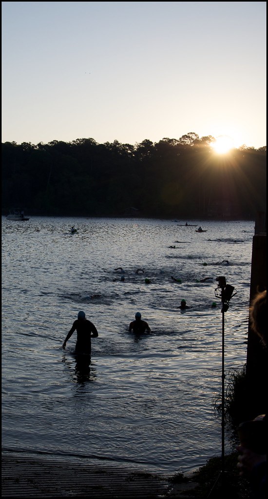 Photo: fincher69, CC BY 2.0 (via Flickr)
- 6.3 mi
- round trip
- 903 ft
- climb
- 237 ft
- high point
- Out and back
- route
- Oct–Apr
- best months
Alfred B. Maclay Gardens State Park Trail is a 6.3-mile moderate hike in Florida's Alfred B. Maclay Gardens State Park, managed by State Park and Recreation. The route is an out-and-back that reaches a high point of 237 feet, with the steepest stretch at about 0.28 miles in, where the grade hits 14 percent. The total elevation gain is 199 feet, and the round trip covers about 12.7 miles. Spring and fall are the most comfortable times to go. Typical averages from a nearby weather station in Tallahassee show March highs around 74°F and October highs around 82°F, while July and August average highs near 92°F with the most wet days of the year. The trail is open to both horses and bikes, so riders and equestrians can plan a trip on the same route. Several other trails sit within a few miles, including Killearn Trail at 1.8 miles and A J Henry Trail at 2.2 miles. Lake Jackson Mounds Archaeological State Park Trail is about 4 miles away, and climbers can find Dead Cat Alley roughly 4.6 miles off.
- Killearn TrailHiking1.8 mi
- A J Henry TrailHiking2.2 mi
- Elinor Klapp Phipps Park TrailHiking3.1 mi
- Miccosukee Greenway TrailHiking3.3 mi
- Lake Jackson Mounds Archaeological State Park TrailHiking4 mi
- Tallahassee - Monticello Greenway CorridorHiking4.5 mi
- Dead Cat AlleyRock climbing4.6 mi
- Broken Glass BridgeRock climbing7.7 mi
Source: Roamze catalog (indexable pages within 10 miles, PostGIS distance)
 Orange Blazed TrailHiking · ~14 min drivePhoto: torreya_trekker, CC BY 4.0 (via Wikimedia Commons)
- Killearn TrailHiking · ~3 min drive
- Elinor Klapp Phipps Park TrailHiking · ~5 min drive
 Capital Circle Office Center Nature TrailHiking · ~16 min drivePhoto: fincher69, CC BY 2.0 (via Flickr)
- Miccosukee Greenway TrailHiking · ~6 min drive
- A J Henry TrailHiking · ~4 min drive
- Brinkley Glen TrailHiking · ~5 min drive
- Guyte P Mccord Walking PathHiking · ~5 min drive
- Lake Jackson Mounds Archaeological State Park TrailHiking · ~7 min drive
- Lake Ella TrailHiking · ~7 min drive
Best time to visit Alfred B. Maclay Gardens State Park Trail
Best months: October–April. Best months have typical highs of 55–85 °F, lows of 30 °F or warmer (32 °F where the station doesn't record snow), at most one snowy day and no more than 12 wet days.
Jan
64° / 41°
9 wet
Feb
68° / 43°
8 wet
Mar
74° / 49°
8 wet
Apr
80° / 54°
7 wet
May
87° / 63°
8 wet
Jun
91° / 71°
13 wet
Jul
92° / 73°
16 wet
Aug
92° / 73°
15 wet
Sep
89° / 70°
9 wet
Oct
82° / 59°
6 wet
Nov
72° / 48°
6 wet
Dec
66° / 43°
8 wet
Typical high / low (°F) and days with rain or snow, 1991–2020. Measured at Tallahassee, FL, 9.4 mi away at 63 ft. This station doesn't record snowfall. Source: NOAA NCEI U.S. Climate Normals 1991–2020.
