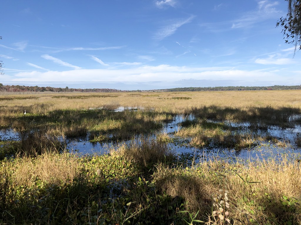
Otter Springs South Trail
 Photo: kuratowa_1, CC BY 2.0 (via Flickr)
- 2.2 mi
- round trip
- 98 ft
- climb
- 17 ft
- high point
- Out and back
- route
- Nov–Apr
- best months
Otter Springs South Trail is an easy, out-and-back hike in Florida's Wannee Conservation Area, managed by the Regional Water Districts. The trail is about 4.5 miles long, and the route is flat, with no elevation gain. The highest point on the trail is 17 feet, and the lowest is 4 feet, so the walk stays nearly level from start to finish. Spring is the most comfortable time to go. Typical averages from a nearby weather station in Cross City show March highs around 75°F with lows near 50°F and about nine wet days. Summer is hotter and wetter, with July and August highs near 90°F and about 20 wet days a month. The trail is an easy, low-commitment outing. Plan on about 4.5 miles round trip, and the route is rated easy. For another walk in the area, North End Nature Walk is about 9 miles away.
Source: Roamze catalog (indexable pages within 10 miles, PostGIS distance)
- Otter Springs North TrailHiking · ~2 min drivePhoto: kuratowa_1, CC BY 2.0 (via Flickr)
 Bolen Bluff TrailHiking · ~1h 5m drivePhoto: gary_leavens, CC BY-SA 2.0 (via Flickr)
- Archer Braid TrailHiking · ~46 min drive
 North End Nature WalkHiking · ~16 min drivePhoto: clembore, CC BY-SA 2.0 (via Flickr)
 Hammock LoopHiking · ~1h 6m drivePhoto: clembore, CC BY-SA 2.0 (via Flickr)
- San Felasco Hammock Preserve State Park TrailHiking · ~52 min drive
 Dudley Farm Historic State Park TrailHiking · ~42 min drivePhoto: clembore, CC BY-SA 2.0 (via Flickr)
- Gainesville Depot Avenue TrailHiking · ~1h 4m drive
 Shell Mound Loop TrailHiking · ~52 min drivePhoto: mbarrison, CC BY-SA 2.0 (via Flickr)
- Cone's Dike TrailHiking · ~1h 9m drive
Best time to visit Otter Springs South Trail
Best months: November–April. Best months have typical highs of 55–85 °F, lows of 30 °F or warmer (32 °F where the station doesn't record snow), at most one snowy day and no more than 12 wet days.
Jan
66° / 42°
11 wet
Feb
70° / 45°
9 wet
Mar
75° / 50°
9 wet
Apr
80° / 55°
9 wet
May
87° / 63°
11 wet
Jun
89° / 71°
16 wet
Jul
90° / 73°
20 wet
Aug
90° / 73°
20 wet
Sep
88° / 70°
16 wet
Oct
82° / 60°
13 wet
Nov
74° / 49°
10 wet
Dec
68° / 44°
10 wet
Typical high / low (°F) and days with rain or snow, 1991–2020. Measured at Cross City Ap, FL, 9.2 mi away at 38 ft. This station doesn't record snowfall. Source: NOAA NCEI U.S. Climate Normals 1991–2020.

Map and trail data © OpenStreetMap contributors
