Guyte P Mccord Walking Path
- 0.5 mi
- round trip
- 88 ft
- climb
- 92 ft
- high point
- Out and back
- route
- Oct–Apr
- best months
Guyte P Mccord Walking Path is a short out-and-back trail in Florida covering 0.48 miles with 99 feet of elevation gain. The trail follows a straightforward path with minimal elevation change.
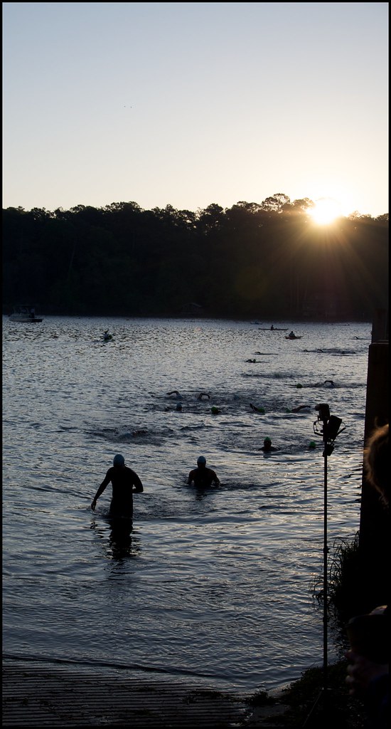 Alfred B. Maclay Gardens State Park TrailHiking · ~5 min drivePhoto: fincher69, CC BY 2.0 (via Flickr)
 Capital Circle Office Center Nature TrailHiking · ~11 min drivePhoto: fincher69, CC BY 2.0 (via Flickr)
- Miccosukee Greenway TrailHiking · ~5 min drive
- Killearn TrailHiking · ~6 min drive
 Lake Munson Slough TrailHiking · ~13 min drivePhoto: U.S. Geological Survey, Public domain (via Wikimedia Commons)
- Elinor Klapp Phipps Park TrailHiking · ~7 min drive
- Brinkley Glen TrailHiking · ~2 min drive
- Lake Ella TrailHiking · ~3 min drive
- Lafayette Park TrailHiking · ~3 min drive
- Blair Stone Parkway TrailHiking · ~3 min drive
Best time to visit Guyte P Mccord Walking Path
Best months: October–April. Best months have typical highs of 55–85 °F, lows of 30 °F or warmer (32 °F where the station doesn't record snow), at most one snowy day and no more than 12 wet days.
Jan
64° / 41°
9 wet
Feb
68° / 43°
8 wet
Mar
74° / 49°
8 wet
Apr
80° / 54°
7 wet
May
87° / 63°
8 wet
Jun
91° / 71°
13 wet
Jul
92° / 73°
16 wet
Aug
92° / 73°
15 wet
Sep
89° / 70°
9 wet
Oct
82° / 59°
6 wet
Nov
72° / 48°
6 wet
Dec
66° / 43°
8 wet
Typical high / low (°F) and days with rain or snow, 1991–2020. Measured at Tallahassee, FL, 6.6 mi away at 63 ft. This station doesn't record snowfall. Source: NOAA NCEI U.S. Climate Normals 1991–2020.

