Pot-Nets Creekside Boat Ramp
- Mar–Jun, Aug–Nov
- best months
Pot-Nets Creekside Boat Ramp is a boat launch in Delaware, about 1.7 miles from the town of Long Neck. It is a simple put-in for getting a boat onto the water close to town. For comfortable weather, late spring and early fall are the best bets. Typical averages from the nearby Lewes weather station show May highs around 75°F and September highs around 80°F, with July peaking near 88°F. Rehoboth Bay, a saltwater fishing spot, lies about 2.9 miles away. Within roughly six miles you'll also find the Purple Trail for hiking and the Prickly Pear Trail for mountain biking.
- Rehoboth BaySaltwater fishing2.9 mi
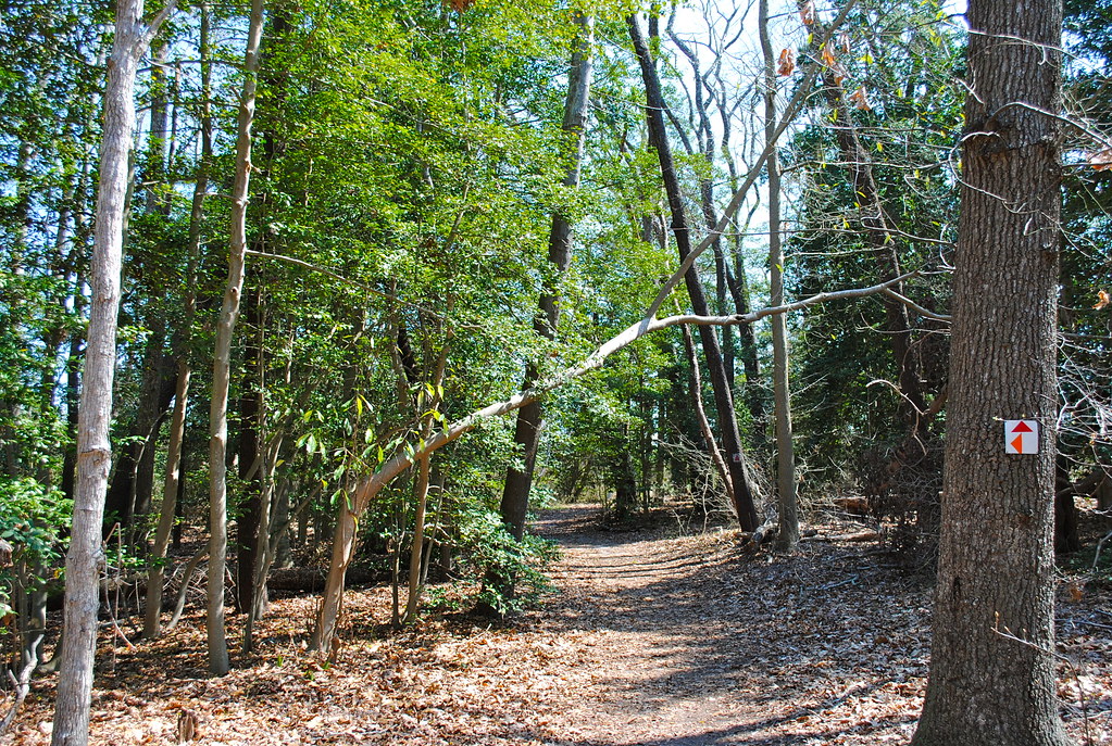 Purple TrailHikingPhoto: Lee Cannon, CC BY-SA 2.0 (via Flickr)5.8 mi
- Prickly Pear TrailMountain biking6.4 mi
- Prickly Pear Trail ConnectorMountain biking6.5 mi
- Fred Hudson Road TrailMountain biking7 mi
- Salt MarshHiking8.7 mi
Source: Roamze catalog (indexable pages within 10 miles, PostGIS distance)
 Pocomoke RiverCanoeing · ~34 min drivePhoto: Acroterion, CC BY-SA 4.0 (via Wikimedia Commons)
- Leisure Point Boat RampBoat launch · ~1 min drive
 Choptank RiverCanoeing · ~1h 13m drivePhoto: AMK1211, CC BY-SA 2.0 (via Wikimedia Commons)
- Winding Creek Village Boat RampBoat launch · ~1 min drive
- Gravelly BranchCanoeing · ~33 min drive
- Rehoboth Shores Boat RampBoat launch · ~2 min drive
- James BranchCanoeing · ~37 min drive
- Bay City Boat RampBoat launch · ~2 min drive
- Broad CreekCanoeing · ~38 min drive
- Mariner's Cove Boat RampBoat launch · ~2 min drive
Best time to visit Pot-Nets Creekside Boat Ramp
Best months: March–June and August–November. Best months have typical highs of 55–85 °F, lows of 30 °F or warmer (32 °F where the station doesn't record snow), at most one snowy day and no more than 12 wet days.
Jan
46° / 30°
11 wet
Feb
48° / 32°
10 wet
Mar
55° / 38°
11 wet
Apr
66° / 46°
11 wet
May
75° / 56°
11 wet
Jun
83° / 66°
10 wet
Jul
88° / 71°
10 wet
Aug
85° / 69°
9 wet
Sep
80° / 64°
9 wet
Oct
69° / 52°
10 wet
Nov
59° / 42°
10 wet
Dec
50° / 35°
12 wet
Typical high / low (°F) and days with rain or snow, 1991–2020. Measured at Lewes, DE, 9.7 mi away at 10 ft. This station doesn't record snowfall. Source: NOAA NCEI U.S. Climate Normals 1991–2020.
Map and trail data © OpenStreetMap contributors
