Rattlesnake Hill
- 508 ft
- summit
- 1
- way up
- Apr, Jun–Oct
- best months
Rattlesnake Hill is a summit of 508 feet in Plat Park, Connecticut, about a mile from Heritage Village. For comfortable weather, aim for late spring or early fall. Typical averages from the nearby Danbury weather station show May highs around 72°F and September highs around 75°F, with September seeing the fewest wet days of the year. The Yellow Trail, Red Trail and White Trail all start about 0.2 miles away. Paddlers can reach the Pomperaug River about 4.4 miles off, and climbers will find Kettletown State Park about 4.5 miles away.
Conditions and forecast
Daily highs and lows, wind and the chance of precipitation at the summit and route start for the next 7 days, from the Open-Meteo model.
- Summit elevation
- 508 ft
Elevation from USGS 3D Elevation Program terrain data (about 10 m resolution).
Map © Mapbox © OpenStreetMap contributors Questions about Rattlesnake Hill
How tall is Rattlesnake Hill?
508 ft (155 m).
How many routes go to the summit of Rattlesnake Hill?
One: Red Trail.
- Hulls Hill540 ft · Connecticut2 routes4.8 mi away
- Orenaug Rocks490 ft · Connecticut1 route5.0 mi away
- Orenaug Hills574 ft · Connecticut1 route5.4 mi away
- Steep Rock774 ft · Connecticut2 routes11 mi away
- Beacon Cap772 ft · Connecticut1 route13 mi away
- Candlewood Mountain999 ft · Connecticut1 route13 mi away
- Yellow TrailHiking0.2 mi
- Red TrailHiking0.2 mi
- White TrailHiking0.2 mi
- Pomperaug RiverCanoeing4.4 mi
 Kettletown State ParkRock climbingPhoto: H. Morrow Long, CC BY-SA 3.0 (via Wikimedia Commons)4.5 mi
- Webb Mountain ParkRock climbing7.7 mi
- Blue Trail SectionRock climbing8 mi
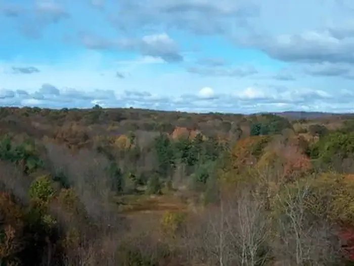 Hop Brook Lake Recreation AreaCampingPhoto: Recreation.gov (RIDB) / public domain9.8 mi
Source: Roamze catalog (indexable pages within 10 miles, PostGIS distance)
 Mount CarmelSummit · ~33 min drivePhoto: Ken Gallager at English Wikipedia, Public domain (via Wikimedia Commons)
 Short MountainSummit · ~41 min drivePhoto: 5ju989nfhs50 at English Wikipedia, CC BY 3.0 (via Wikimedia Commons)
- Ragged MountainSummit · ~41 min drivePhoto: 5ju989nfhs50 at English Wikipedia, CC BY 3.0 (via Wikimedia Commons)
 Bradley MountainSummit · ~42 min drivePhoto: Morrowlong, CC BY-SA 3.0 (via Wikimedia Commons)
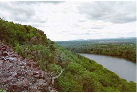 Chauncey PeakSummit · ~45 min drivePhoto: 5ju989nfhs50 at English Wikipedia, CC BY 3.0 (via Wikimedia Commons)
 Beseck MountainSummit · ~45 min drivePhoto: 5ju989nfhs50 at English Wikipedia, CC BY 3.0 (via Wikimedia Commons)
- Hulls HillSummit · ~8 min drive
- Orenaug RocksSummit · ~9 min drive
- Orenaug HillsSummit · ~9 min drive
- Steep RockSummit · ~18 min drive
Best time to visit Rattlesnake Hill
Best months: April and June–October. Best months have typical highs of 55–85 °F, lows of 30 °F or warmer (32 °F where the station doesn't record snow), at most one snowy day and no more than 12 wet days.
Jan
36° / 21°
12 wet · 8 snow
Feb
39° / 22°
11 wet · 6 snow
Mar
48° / 29°
13 wet · 5 snow
Apr
61° / 39°
12 wet · 1 snow
May
72° / 49°
13 wet
Jun
80° / 59°
12 wet
Jul
85° / 64°
11 wet
Aug
82° / 63°
10 wet
Sep
75° / 55°
9 wet
Oct
62° / 43°
10 wet
Nov
50° / 34°
10 wet · 2 snow
Dec
40° / 26°
12 wet · 5 snow
Typical high / low (°F) and days with rain or snow, 1991–2020. Measured at Danbury, CT, 10.3 mi away at 405 ft. Source: NOAA NCEI U.S. Climate Normals 1991–2020.

