Wolf Den Campground
Campground
Campground · 1.0 mi from the trail
Willams Way is a short, easy hike in Connecticut, about 0.6 miles long and rising just 12 feet from its low point of 267 feet to a high of 300 feet. The route is a point-to-point walk, and the steepest stretch comes at about 0.3 miles in, where the grade reaches 9 percent. The nearest town is Pomfret Landing, about 1.3 miles away. Late spring and early fall are the most comfortable times to go. Typical averages from a nearby weather station at W Thompson Lake show May highs around 69°F and September highs around 73°F, with July the warmest month at about 82°F. The trail sits close to several other outings. Mashamoquet Meadow Trail is about 0.2 miles away and Ledge Trail about 0.3 miles. Mashamoquet Brook State Park, a climbing area, is roughly 1.8 miles off, and paddlers can reach the Little River about 4.5 miles away.
Wolf Den Campground
Campground
The Lake Tavern
Restaurant
 If it rainsMichael Rodriguez, CC BY-SA 4.0 · Wikimedia Commons
Places © OpenStreetMap contributors · Photos: Michael Rodriguez, CC BY-SA 4.0 (commons)
More in DanielsonBest months: April–October. Best months have typical highs of 55–85 °F, lows of 30 °F or warmer (32 °F where the station doesn't record snow), at most one snowy day and no more than 12 wet days.
Jan
35° / 15°
11 wet · 4 snow
Feb
38° / 16°
10 wet · 3 snow
Mar
46° / 24°
11 wet · 2 snow
Apr
58° / 34°
11 wet
May
69° / 45°
12 wet
Jun
76° / 54°
11 wet
Jul
82° / 60°
11 wet
Aug
80° / 58°
10 wet
Sep
73° / 51°
9 wet
Oct
61° / 38°
10 wet
Nov
50° / 30°
10 wet · 1 snow
Dec
40° / 22°
11 wet · 2 snow
Typical high / low (°F) and days with rain or snow, 1991–2020. Measured at W Thompson Lake, CT, 6.3 mi away at 360 ft. Source: NOAA NCEI U.S. Climate Normals 1991–2020.
 Photo: gary_leavens, CC BY-SA 2.0 (via Flickr)
Ledge Trail
Next door
Point-to-point Connecticut trail featuring scenic ledges and woodland terrain.
 Photo: Magicpiano, CC BY-SA 3.0 (via Wikimedia Commons)
Quinebaug River Trail
~13 min drive
Scenic 5-mile riverside point-to-point hike along the Quinebaug River.
Photo: gary_leavens, CC BY-SA 2.0 (via Flickr)Day Brook Trail
Next door
A short point-to-point woodland walk along Day Brook in Connecticut.
HIKE
Center Trail
~16 min drive
6.52-mile out-and-back hike in Rhode Island with 616 ft elevation gain.
 Photo: Magicpiano, CC BY-SA 3.0 (via Wikimedia Commons)
Wolf Den Nature Trail
~2 min drive
Short woodland walk through Connecticut forest.
Photo: Magicpiano, CC BY-SA 3.0 (via Wikimedia Commons)Mashamoquet Brook Park Trail
~2 min drive
0.61-mile out-and-back trail in Connecticut with 162 ft gain.
 Photo: jjbers, CC BY 2.0 (via Flickr)
Natchaug Forest Trail
~11 min drive
2.24-mile out-and-back hike in Connecticut with 403 ft of elevation gain
 Photo: Magicpiano, CC BY-SA 3.0 (via Wikimedia Commons)
Outer Loop Trail
~12 min drive
1.17-mile point-to-point trail in Connecticut with 206 ft gain.
Photo: jjbers, CC BY 2.0 (via Flickr)Ccc Trail
~12 min drive
0.49-mile out-and-back trail in Connecticut with 133 ft gain
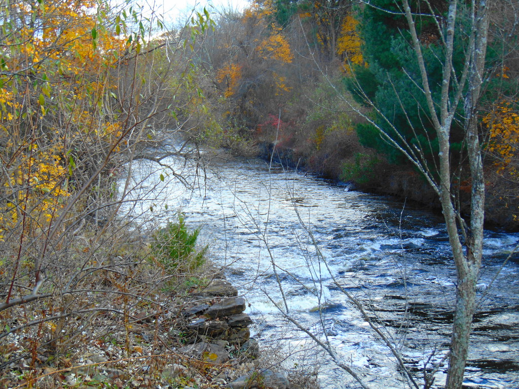 Photo: jjbers, CC BY 2.0 (via Flickr)
Woodland Walk Trail
~12 min drive
Easy woodland point-to-point trail perfect for a quick nature walk.
Map and trail data © OpenStreetMap contributors

