Girl Scout Camp
Campground
Campground · 4.9 mi from the trail
The Allee is a short, easy hike in Connecticut, about 0.3 miles long and rising just 11 feet from start to finish. It is a point-to-point route, and the climb is flat, with the high point at 261 feet and the low at 222 feet. The nearest town is South Wilton, about a mile away. The route is rated easy, and it works well as a quick outing. Bikes are allowed, so it makes an easy addition to a ride on the surrounding trails. The trip takes about half an hour, and the route is open year-round. For comfortable weather, late spring and early fall are the best bets. Typical averages from a nearby weather station in Stamford show May highs around 72°F and September highs around 76°F, with July the warmest month at about 85°F. The Driftway lies about 0.3 miles away, and the Norwalk River Valley Trail is about a mile off. Putnam Preserve Trail is roughly 5 miles away, and the Norwalk River offers canoeing about 5.6 miles from the route.
Girl Scout Camp
Campground
Outback Steakhouse
Restaurant
 If it rainsRobert Fulton III, Photographer,, Public domain · Wikimedia Commons
Places © OpenStreetMap contributors · Photos: Robert Fulton III, Photographer,, Public domain (commons)
More in Mount KiscoNot on Roamze yet. Their page has how to reach them.
Best months: April–October. Best months have typical highs of 55–85 °F, lows of 30 °F or warmer (32 °F where the station doesn't record snow), at most one snowy day and no more than 12 wet days.
Jan
38° / 22°
11 wet
Feb
41° / 23°
9 wet
Mar
49° / 30°
10 wet
Apr
62° / 40°
12 wet
May
72° / 50°
12 wet
Jun
80° / 59°
11 wet
Jul
85° / 64°
10 wet
Aug
83° / 63°
9 wet
Sep
76° / 56°
9 wet
Oct
64° / 45°
10 wet
Nov
53° / 35°
10 wet
Dec
43° / 27°
11 wet
Typical high / low (°F) and days with rain or snow, 1991–2020. Measured at Stamford 5 N, CT, 8.1 mi away at 190 ft. This station doesn't record snowfall. Source: NOAA NCEI U.S. Climate Normals 1991–2020.
 Photo: CarbonNYC [in SF!], CC BY 2.0 (via Flickr)
Joan's Trail
~13 min drive
3.22-mile out-and-back hike in Connecticut with 551 ft elevation gain.
HIKE
Saugatuck Trail
~14 min drive
An 11-mile point-to-point trail through Connecticut's Saugatuck River valley.
 Photo: usf1fan2, CC BY 2.0 (via Flickr)
Black Birch Trail
~14 min drive
0.30-mile point-to-point trail in Connecticut with 69 ft elevation gain
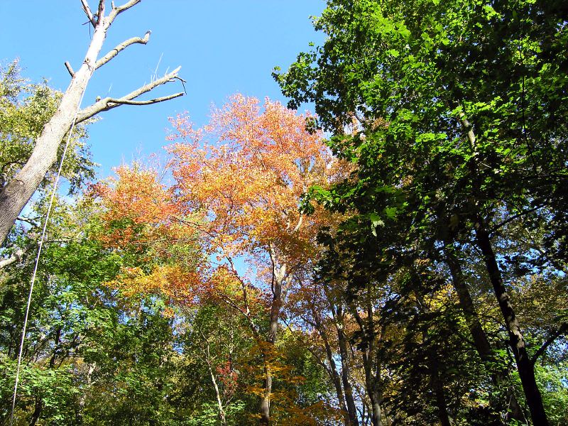 Photo: Gail Frederick, CC BY 2.0 (via Flickr)
Tulip Tree Loop
~14 min drive
0.29-mile loop trail in Connecticut with 64 ft gain.
 Photo: Magicpiano, CC BY-SA 3.0 (via Wikimedia Commons)
Where in the Woods #7
~14 min drive
0.61-mile loop trail in Connecticut with 128 ft gain.
HIKE
The Driftway
Next door
1.30-mile loop trail in Connecticut with 154 ft gain and 160 ft loss.
HIKE
Norwalk River Valley Trail
~2 min drive
2.82-mile out-and-back hike in Connecticut with 217 ft elevation gain
HIKE
Norwalk River Valley Trail
~3 min drive
1.09-mile out-and-back hike in Connecticut with 226 ft of elevation gain.
HIKE
Putnam Preserve Trail
~8 min drive
Putnam Preserve Trail is a 0.47-mile point-to-point trail in Connecticut.
HIKE
Sherwood Island Park Path
~9 min drive
0.73-mile out-and-back trail in Connecticut with 8 ft of elevation gain.
Map and trail data © OpenStreetMap contributors
