Songbird Trail
- 0.7 mi
- one way
- 45 ft
- climb
- 1,224 ft
- high point
- Point to point
- route
- Jul–Oct
- best months
Songbird Trail is a short, easy hike in Connecticut, about 1.8 miles from the town of Litchfield. The trail is a point-to-point route of roughly 0.74 miles, with a low point of 1,161 feet and a high of 1,224 feet. The climb is flat overall, with a total gain of 45 feet and a total loss of 86 feet, and the steepest stretch comes at about 0.67 miles in, with a grade of about 6 percent. Late spring and early fall are the most comfortable times to go. Typical averages from a nearby weather station in Bakersville run to highs around 69°F in May and 72°F in September, while July highs average about 82°F. That station sits well below the trail, so temperatures on the higher ground run cooler. The trail makes an easy addition to a longer outing. The Yellow Trail starts just 0.1 mile away, and the Red Trail is about 0.2 mile off. The Edith M. Chase Ecology Trail lies about half a mile away. Paddlers can reach the Bantam River about 3.3 miles from the trail.
Best time to go · Jul–Oct
Best time to visit Songbird Trail
Best months: July–October. Best months have typical highs of 55–85 °F, lows of 30 °F or warmer (32 °F where the station doesn't record snow), at most one snowy day and no more than 12 wet days.
Jan
33° / 15°
12 wet
Feb
37° / 16°
10 wet
Mar
45° / 23°
12 wet
Apr
58° / 33°
13 wet
May
69° / 44°
14 wet
Jun
77° / 53°
13 wet
Jul
82° / 58°
12 wet
Aug
80° / 56°
11 wet
Sep
72° / 49°
10 wet
Oct
60° / 38°
12 wet
Nov
49° / 29°
11 wet
Dec
38° / 21°
13 wet
Typical high / low (°F) and days with rain or snow, 1991–2020. Measured at Bakersville, CT, 10.3 mi away at 686 ft. The station sits about 500 ft lower than this place, so expect it a little cooler here. This station doesn't record snowfall. Source: NOAA NCEI U.S. Climate Normals 1991–2020.
Keep exploring — more trails worth the drive
 Photo: Pedro Xing, CC0 (via Wikimedia Commons)
Little Pond Trail
~4 min drive
1.50-mile loop trail in Connecticut with 116 ft elevation gain
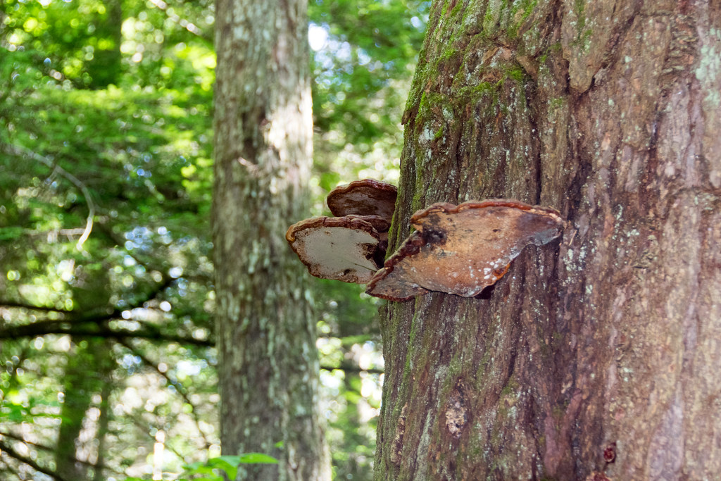 Photo: Paul and Jill, CC BY 2.0 (via Flickr)
Mattatuck Trail
~5 min drive
Rugged 40-mile point-to-point ridge trail across western Connecticut highlands.
 Photo: H. Morrow Long, CC BY-SA 3.0 (via Wikimedia Commons)
Mattatuck Trail
~13 min drive
3.30-mile out-and-back trail in Connecticut with 1,374 ft elevation gain.
 Photo: Paul and Jill, CC BY 2.0 (via Flickr)
Litchfield Community Greenway
~6 min drive
Accessible 2.25-mile point-to-point greenway through Litchfield, CT.
HIKE
Fawn Pond
~4 min drive
Short point-to-point walk to Fawn Pond in Connecticut.
 Photo: H. Morrow Long, CC BY-SA 3.0 (via Wikimedia Commons)
Branch Brook Trail
~13 min drive
0.79-mile point-to-point trail in Connecticut with 293 ft gain.
HIKE
Tower Trail
~12 min drive
Quick point-to-point woodland walk in Connecticut.
 Photo: H. Morrow Long, CC BY-SA 3.0 (via Wikimedia Commons)
Jericho Trail
~13 min drive
3.25-mile point-to-point trail in Connecticut with 878 ft gain and 1,052 ft loss.
HIKE
Mohawk Forest Trail
~14 min drive
2.82-mile out-and-back trail in Connecticut with 565 ft gain.
HIKE
Red Trail
Next door
Easy 1-mile point-to-point trail through Connecticut woods.

Route details
- Distance
- 0.7 mi
- Climbing
- About 45 ft
- Summit
- 1,226 ft
- Difficulty
- Easy
- Time
- About 0.5 hours
Other routes up Jefferson Hill
Questions about this route
How long is the Songbird Trail on Jefferson Hill?
About 0.7 mi.
How much elevation gain is on the Songbird Trail?
About 45 ft of climbing round trip.
How hard is the Songbird Trail?
It is rated easy.
How long does the Songbird Trail take?
About 0.5 hours round trip.
How many routes go up Jefferson Hill?
4: Red Trail, Bernard Stairs Trail, Songbird Trail and Edith M. Chase Ecology Trail.
Conditions and forecast on Jefferson Hill
Daily highs and lows, wind and the chance of precipitation at the summit and route start for the next 7 days, from the Open-Meteo model.
Map and trail data © OpenStreetMap contributors
