Pinney Loop
 Photo: Pedro Xing, CC0 (via Wikimedia Commons)
- 2.2 mi
- one way
- 302 ft
- climb
- 721 ft
- high point
- Point to point
- route
- Apr, Jun–Oct
- best months
Pinney Loop is a 2.2-mile hike in Connecticut, about 2.3 miles from the town of Washington. It is a point-to-point route with a total elevation gain of 302 feet, and it is rated easy. The climb reaches a high point of 721 feet, and the steepest stretch comes at about the 1-mile mark, where the grade reaches 17 percent. The route is part of a cluster of short loops, and several others sit within a short walk. Clamshell Loop is about 0.2 miles away, Brinsmade Loop about 0.4 miles, and Shinar Trail and Steep Rock Loop each about 0.6 miles. For time on the water, the Shepaug River is about 6.7 miles away.
- Clamshell LoopHikingPhoto: Pedro Xing, CC0 (via Wikimedia Commons)0.2 mi
- Brinsmade LoopHikingPhoto: Pedro Xing, CC0 (via Wikimedia Commons)0.4 mi
- Shinar TrailHiking0.6 mi
- Steep Rock LoopHiking0.6 mi
- Holiday House LoopHiking1.3 mi
- Van Ingen TrailHiking1.3 mi
- Shepaug RiverCanoeing6.7 mi
- Pomperaug RiverCanoeing8.1 mi
Source: Roamze catalog (indexable pages within 10 miles, PostGIS distance)
- Clamshell LoopHiking · Next doorPhoto: Pedro Xing, CC0 (via Wikimedia Commons)
 Lovers Leap Park TrailHiking · ~10 min drivePhoto: -= Bruce Berrien =-, CC BY 2.0 (via Flickr)
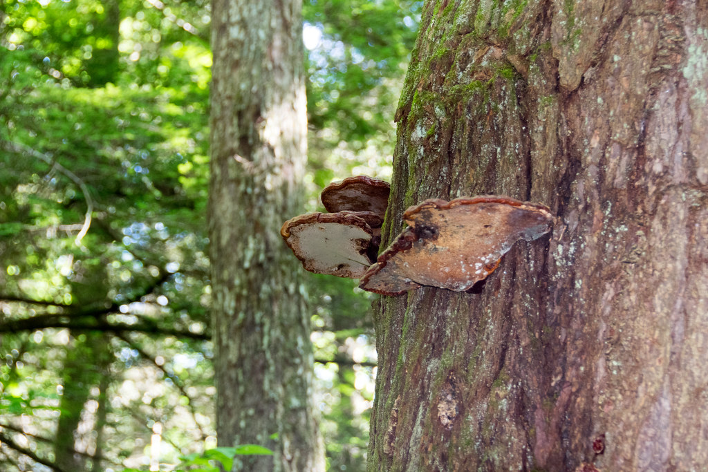 Mattatuck TrailHiking · ~18 min drivePhoto: Paul and Jill, CC BY 2.0 (via Flickr)
- Brinsmade LoopHiking · Next doorPhoto: Pedro Xing, CC0 (via Wikimedia Commons)
- Proposed TrailHiking · ~10 min drivePhoto: -= Bruce Berrien =-, CC BY 2.0 (via Flickr)
 Story Walk TrailHiking · ~9 min drivePhoto: Magicpiano, CC BY-SA 3.0 (via Wikimedia Commons)
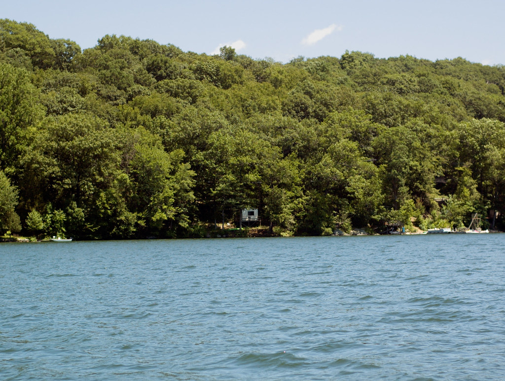 Pootatuck Forest TrailHiking · ~18 min drivePhoto: CarbonNYC [in SF!], CC BY 2.0 (via Flickr)
- Hay Field LoopHiking · ~9 min drivePhoto: Magicpiano, CC BY-SA 3.0 (via Wikimedia Commons)
- Tower TrailHiking · ~12 min drive
 Housatonic Range TrailHiking · ~11 min drivePhoto: H. Morrow Long, CC BY-SA 3.0 (via Wikimedia Commons)
Best time to visit Pinney Loop
Best months: April and June–October. Best months have typical highs of 55–85 °F, lows of 30 °F or warmer (32 °F where the station doesn't record snow), at most one snowy day and no more than 12 wet days.
Jan
36° / 21°
12 wet · 8 snow
Feb
39° / 22°
11 wet · 6 snow
Mar
48° / 29°
13 wet · 5 snow
Apr
61° / 39°
12 wet · 1 snow
May
72° / 49°
13 wet
Jun
80° / 59°
12 wet
Jul
85° / 64°
11 wet
Aug
82° / 63°
10 wet
Sep
75° / 55°
9 wet
Oct
62° / 43°
10 wet
Nov
50° / 34°
10 wet · 2 snow
Dec
40° / 26°
12 wet · 5 snow
Typical high / low (°F) and days with rain or snow, 1991–2020. Measured at Danbury, CT, 14.8 mi away at 405 ft. Source: NOAA NCEI U.S. Climate Normals 1991–2020.
Map and trail data © OpenStreetMap contributors
