Loop Trail
- 0.9 mi
- loop
- 64 ft
- climb
- 785 ft
- high point
- Loop
- route
- Apr–Oct
- best months
The Loop Trail is a short loop of about 0.9 miles on the Stoppleworth Property in Connecticut. It starts and ends at nearly the same place, with a low point of about 703 feet and a high of about 785 feet. The climb is easy, with a total gain of about 64 feet and a steepest grade of about 7% at roughly 0.5 miles. For comfortable weather, late spring and early fall stand out. Typical averages from a nearby weather station in Staffordville show May highs around 68°F and September highs around 73°F, with July the warmest month at about 81°F. The trail makes an easy half-hour outing, and it sits close to several other routes. Ledge Loop Trail and Ridge Loop Trail are each about 0.4 miles away, and Campbell Connectors is about 0.7 miles off. Paddlers can reach the Middle River, roughly 5.6 miles away.
Best time to go · Apr–Oct
Best time to visit Loop Trail
Best months: April–October. Best months have typical highs of 55–85 °F, lows of 30 °F or warmer (32 °F where the station doesn't record snow), at most one snowy day and no more than 12 wet days.
Jan
34° / 14°
Feb
36° / 15°
Mar
44° / 22°
Apr
57° / 33°
May
68° / 43°
Jun
76° / 53°
Jul
81° / 59°
Aug
79° / 58°
Sep
73° / 51°
Oct
60° / 39°
Nov
49° / 30°
Dec
39° / 21°
Typical high / low (°F) and days with rain or snow, 1991–2020. Measured at Staffordville, CT, 8.3 mi away at 736 ft. This station doesn't record snowfall. Source: NOAA NCEI U.S. Climate Normals 1991–2020.
Keep exploring — more trails worth the drive
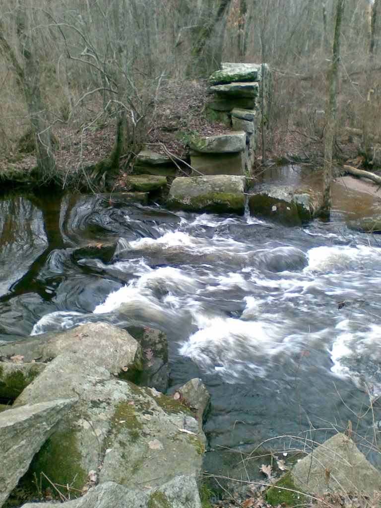 Photo: reivax, CC BY-SA 2.0 (via Flickr)
Yellow Trail
~3 min drive
0.58-mile point-to-point hike in Connecticut with 94 ft of elevation gain
Photo: reivax, CC BY-SA 2.0 (via Flickr)White Trail
~3 min drive
0.11-mile point-to-point trail in Connecticut with 10 ft gain
Photo: reivax, CC BY-SA 2.0 (via Flickr)Orange Trail
~4 min drive
0.91-mile loop trail in Connecticut with 126 ft gain.
 Photo: randomduck, CC BY-SA 2.0 (via Flickr)
Shenipsit Forest Trail
~6 min drive
0.95-mile out-and-back trail in Connecticut with 230 ft gain.
 Photo: randomduck, CC BY-SA 2.0 (via Flickr)
Blue-Yellow Bypass Trail
~6 min drive
0.43-mile point-to-point trail in Connecticut with 75 ft gain.
 Photo: randomduck, CC BY-SA 2.0 (via Flickr)
Perkins Mtn Orange Trail
~12 min drive
0.66-mile point-to-point trail on Perkins Mountain in Connecticut
HIKE
Ridge Loop Trail
Next door
1.03-mile loop trail in Connecticut with 316 ft elevation gain.
HIKE
Ledge Loop Trail
Next door
0.63-mile point-to-point trail in Connecticut with 247 ft elevation gain
HIKE
Campbell Connectors
~1 min drive
Short connector trail linking nearby Connecticut trail systems.
HIKE
Loop Trail
~1 min drive
1.36-mile loop trail in Connecticut with 155 ft gain.

Map and trail data © OpenStreetMap contributors
