Goodbody Preserve Loop Trail
- 1.5 mi
- loop
- 379 ft
- climb
- 1,071 ft
- high point
- Loop
- route
- Apr, Jul–Oct
- best months
Goodbody Preserve Loop Trail is a 1.5-mile loop in Connecticut, about 0.6 miles from the town of Mudgetown. It's an easy hike that climbs from roughly 750 feet to about 1,070 feet, with a total elevation gain of 379 feet over the course of the loop. The trail is closed to bikes and horses. The loop peaks at 1,071 feet, with the steepest stretch coming at about 0.8 miles in, where the grade reaches about 21%. The total descent over the loop is 723 feet, so the trail works well for a short outing rather than a long day on foot. September is one of the most comfortable months to visit, with typical highs around 75°F and lows near 49°F, based on averages from a nearby weather station in Falls Village. That station sits well below the trail's high point, so temperatures on the higher ground run cooler. Other trails are close by: Von Ahn Preserve - Loop Trail is about a mile away, and Twin Oaks Trails and Mary Moore Cliff Trail are each within about 2.4 miles. Climbers can head to Hough Mountain, roughly 7 miles off.
Local outfitters
- Catskill Outfitters44 mi away
Not on Roamze yet. Their page has how to reach them.
Best time to go · Apr, Jul–Oct
Best time to visit Goodbody Preserve Loop Trail
Best months: April and July–October. Best months have typical highs of 55–85 °F, lows of 30 °F or warmer (32 °F where the station doesn't record snow), at most one snowy day and no more than 12 wet days.
Jan
35° / 14°
10 wet
Feb
38° / 15°
9 wet
Mar
47° / 23°
11 wet
Apr
60° / 33°
12 wet
May
72° / 44°
13 wet
Jun
80° / 53°
13 wet
Jul
85° / 58°
12 wet
Aug
82° / 57°
11 wet
Sep
75° / 49°
10 wet
Oct
63° / 38°
11 wet
Nov
51° / 29°
11 wet
Dec
40° / 20°
12 wet
Typical high / low (°F) and days with rain or snow, 1991–2020. Measured at Falls Village, CT, 7.1 mi away at 550 ft. The station sits about 500 ft lower than this place, so expect it a little cooler here. This station doesn't record snowfall. Source: NOAA NCEI U.S. Climate Normals 1991–2020.
Keep exploring — more trails worth the drive
 Photo: Pedro Xing, CC0 (via Wikimedia Commons)
Skiff Mtn North Loop Trail
~14 min drive
1.00-mile loop trail in Connecticut with 207 ft elevation gain.
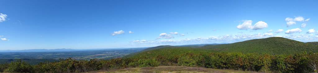 Photo: cm195902, CC BY 2.0 (via Flickr)
Mt. Frissell
~18 min drive
1.82-mile point-to-point trail in New York with 564 ft gain
HIKE
South Taconic Trail
~8 min drive
Remote 18.5-mile ridge traverse through NY's Taconic Range.
Photo: Pedro Xing, CC0 (via Wikimedia Commons)Woodcock Trail
~15 min drive
0.48-mile point-to-point trail in Connecticut with 80 ft gain.
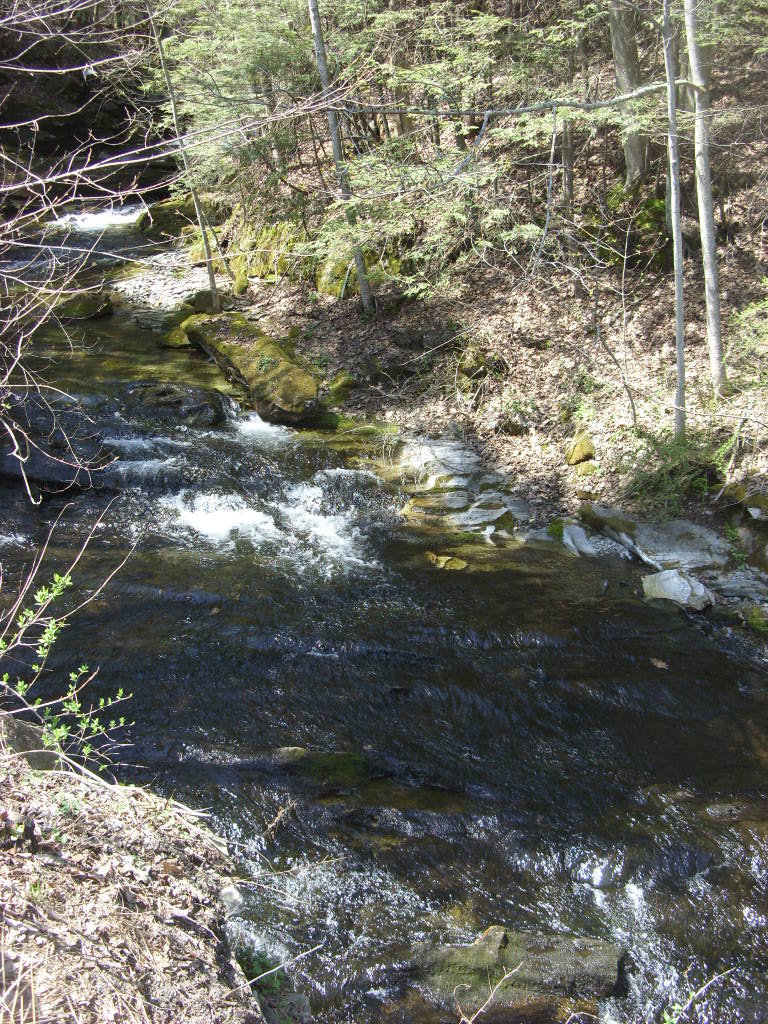 Photo: Dougtone, CC BY-SA 2.0 (via Flickr)
Appalachian Trail
~18 min drive
3.54-mile out-and-back on the Appalachian Trail in Massachusetts with 1,117 ft gain/loss.
HIKE
Mohawk Trail
~12 min drive
22.15-mile point-to-point trail in Connecticut with 3,259 ft gain
Photo: Pedro Xing, CC0 (via Wikimedia Commons)Queen of Diamonds Loop
~15 min drive
1.56-mile loop in Connecticut with 538 ft gain and 557 ft loss.
HIKE
Macedonia Ridge Trail
~15 min drive
6.29-mile loop trail in Connecticut with 1,897 ft elevation gain.
 Photo: Pedro Xing, CC0 (via Wikimedia Commons)
Cerulean Warbler Loop
~15 min drive
Cerulean Warbler Loop is a 1.41-mile point-to-point trail in Connecticut.
HIKE
Undermountain Trail
~16 min drive
1.82-mile point-to-point trail in Connecticut with 1,019 ft elevation gain.
Map and trail data © OpenStreetMap contributors
