Boy Scout Camp
Campground
Campground · 0.2 mi from the trail
 Photo: Magicpiano, CC BY-SA 3.0 (via Wikimedia Commons)
Chatfield Trail is a 4.3-mile point-to-point hike in Connecticut, about 2 miles from the town of Killingworth. It is rated easy, with a total elevation gain of 485 feet and a total loss of 658 feet over the course of the route. The trail reaches a high point of about 305 feet and a low of about 35 feet, and the steepest stretch comes at about 2.3 miles in, where the grade reaches 22 percent. For comfortable weather, late spring and early fall are the best bets. Typical averages from a nearby weather station in Mt Carmel show May highs around 71°F and September highs around 76°F, with July the warmest month at about 85°F. Bikes and horses are not allowed on this trail. The Fat Man's Squeeze lies about 0.4 miles away, and the Chatfield Alternate Trail and Lower Hammonasset Trail are each about 0.9 miles off. Climbers can find the 9 Wall (Feather Ledges) about a mile away.
Boy Scout Camp
Campground
June's Outback Pub
Bar
 If it rainsVersageek, CC BY-SA 3.0 · Wikimedia Commons
Thomas Griswold House
Museum
Places © OpenStreetMap contributors · Photos: Versageek, CC BY-SA 3.0 (commons)
More in MiddletownBest months: April–October. Best months have typical highs of 55–85 °F, lows of 30 °F or warmer (32 °F where the station doesn't record snow), at most one snowy day and no more than 12 wet days.
Jan
38° / 20°
10 wet
Feb
41° / 22°
9 wet
Mar
48° / 28°
11 wet
Apr
60° / 38°
12 wet
May
71° / 48°
11 wet
Jun
79° / 58°
10 wet
Jul
85° / 64°
10 wet
Aug
84° / 62°
9 wet
Sep
76° / 55°
9 wet
Oct
64° / 43°
9 wet
Nov
52° / 34°
9 wet
Dec
42° / 26°
11 wet
Typical high / low (°F) and days with rain or snow, 1991–2020. Measured at Mt Carmel, CT, 16.6 mi away at 180 ft. This station doesn't record snowfall. Source: NOAA NCEI U.S. Climate Normals 1991–2020.
 Photo: Magicpiano, CC BY-SA 3.0 (via Wikimedia Commons)
Fat Man's Squeeze
Next door
0.09-mile loop with 22 ft gain in Connecticut
 Photo: Magicpiano, CC BY-SA 3.0 (via Wikimedia Commons)
White Trail
~5 min drive
6.07-mile point-to-point trail in Connecticut with 853 ft gain.
Photo: Magicpiano, CC BY-SA 3.0 (via Wikimedia Commons)Lower Hammonasset Trail
~2 min drive
Easy point-to-point trail through Connecticut coastal wetlands and river habitat.
Photo: Magicpiano, CC BY-SA 3.0 (via Wikimedia Commons)Bailey Trial South
~2 min drive
A 2-mile point-to-point Connecticut trail perfect for a quick outdoor walk.
Photo: Magicpiano, CC BY-SA 3.0 (via Wikimedia Commons)Shepherds Trail
~2 min drive
0.84-mile point-to-point trail in Connecticut with 221 ft gain.
Photo: Magicpiano, CC BY-SA 3.0 (via Wikimedia Commons)Bailey Trial North
~2 min drive
Short point-to-point woodland trail in Connecticut.
 Photo: Kristof Zyskowski & Yulia Bereshpolova, CC BY 2.0 (via Flickr)
Bear House Hill Road Trail
~6 min drive
A 2.11-mile point-to-point woodland trail in Connecticut.
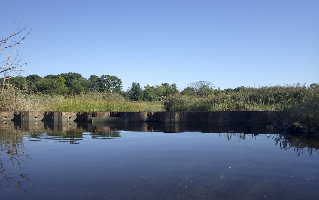 Photo: versageek, CC BY-SA 2.0 (via Flickr)
Yellow Trail
~7 min drive
0.67-mile point-to-point trail in Connecticut with 202 ft elevation gain.
 Photo: versageek, CC BY-SA 2.0 (via Flickr)
Purple Trail
~7 min drive
0.34-mile point-to-point trail in Connecticut with 42 ft elevation gain.
Photo: versageek, CC BY-SA 2.0 (via Flickr)Ann Connover Nature Trail
~7 min drive
0.92-mile loop trail in Connecticut with 280 ft elevation gain.
Also worth it near here
Map and trail data © OpenStreetMap contributors
