Mountain · 1 route
Traver Peak
13,848 ft · Colorado
- Summit
- 13,848 ft
- Routes
- 1 way up
- Managed by
- Forest Service
Route up Traver Peak
About Traver Peak
Traver Peak is a summit of about 13,848 feet in Park County, Colorado, on the South Park Ranger District of the Pike and San Isabel National Forests. The Forest Service manages the land, and the nearest town is Alma, about 6.6 miles away. A summit route leads to the top. Mount Arkansas lies about a mile away, and Bartlett Mountain is about 2 miles off. Kite Lake Campground is about 2.3 miles away, and the Fremont Pass climbing area is about 3.3 miles away.
Forecast on Traver Peak
Daily highs and lows, wind and the chance of precipitation at the summit and wheeler lake trailhead for the next 7 days, from the Open-Meteo model.
Questions about Traver Peak
How tall is Traver Peak?
13,848 ft (4,221 m).
How many routes go to the summit of Traver Peak?
One: Traver Peak.
Where do the routes up Traver Peak start?
Traver Peak starts at Wheeler Lake Trailhead.
Mountains nearby
 Clinton Peak13,860 ft · Colorado1 route0.7 mi awayPhoto: David Herrera, CC BY 2.0 (via Wikimedia Commons)
 Mount Democrat14,148 ft · Colorado1 route1.4 mi awayPhoto: Jeremiah LaRocco, CC BY-SA 2.0 (via Wikimedia Commons)
 Bartlett Mountain13,247 ft · Colorado1 route1.4 mi awayPhoto: Clyde Charles Brown, CC BY-SA 4.0 (via Wikimedia Commons)
 Wheeler Mountain13,684 ft · Colorado1 route1.7 mi awayPhoto: Larch Bocek, CC BY-SA 2.0 (via Wikimedia Commons)
 Mount Cameron14,245 ft · Colorado3 routes1.8 mi awayPhoto: Jeremiah LaRocco, CC BY-SA 2.0 (via Wikimedia Commons)
 Mount Lincoln14,287 ft · Colorado2 routes2.1 mi awayPhoto: Original uploader was Matt Vincent at en.wikipedia, CC BY-SA 3.0 (via Wikimedia Commons)
Facts about this place
Where it is
- South Park Ranger District · Ranger district
- Pike and San Isabel National Forests · National forest
- Nearest town
- Alma, Colorado · 6.6 mi
- Managed by
- Forest Service
Source: USFS EDW boundaries; USGS PAD-US 4.1; USGS GNIS populated places
Conditions
Active alerts for South Park Ranger District as of Oct 9, 2026:
Eagle Rock and Observatory Rock Occupancy and Use Restrictions
information · posted Aug 24, 2026
Badger Flats Occupancy and Use Restrictions
information · posted Aug 24, 2026
National Forest Service Road 8 closure
caution · posted Aug 24, 2026
Source: USFS forest alerts
Nearby
 Mount ArkansasHikingPhoto: Ken Lund from Las Vegas, Nevada, USA, CC BY-SA 2.0 (via Wikimedia Commons)1.1 mi
- Bartlett MountainHiking2 mi
- Kite Lake CampgroundCamping2.3 mi
- Fremont PassRock climbing3.3 mi
- Quandary PeakRock climbing3.5 mi
 East Fork Arkansas RiverCanoeingPhoto: Jeffrey Beall, CC BY 3.0 (via Wikimedia Commons)6 mi
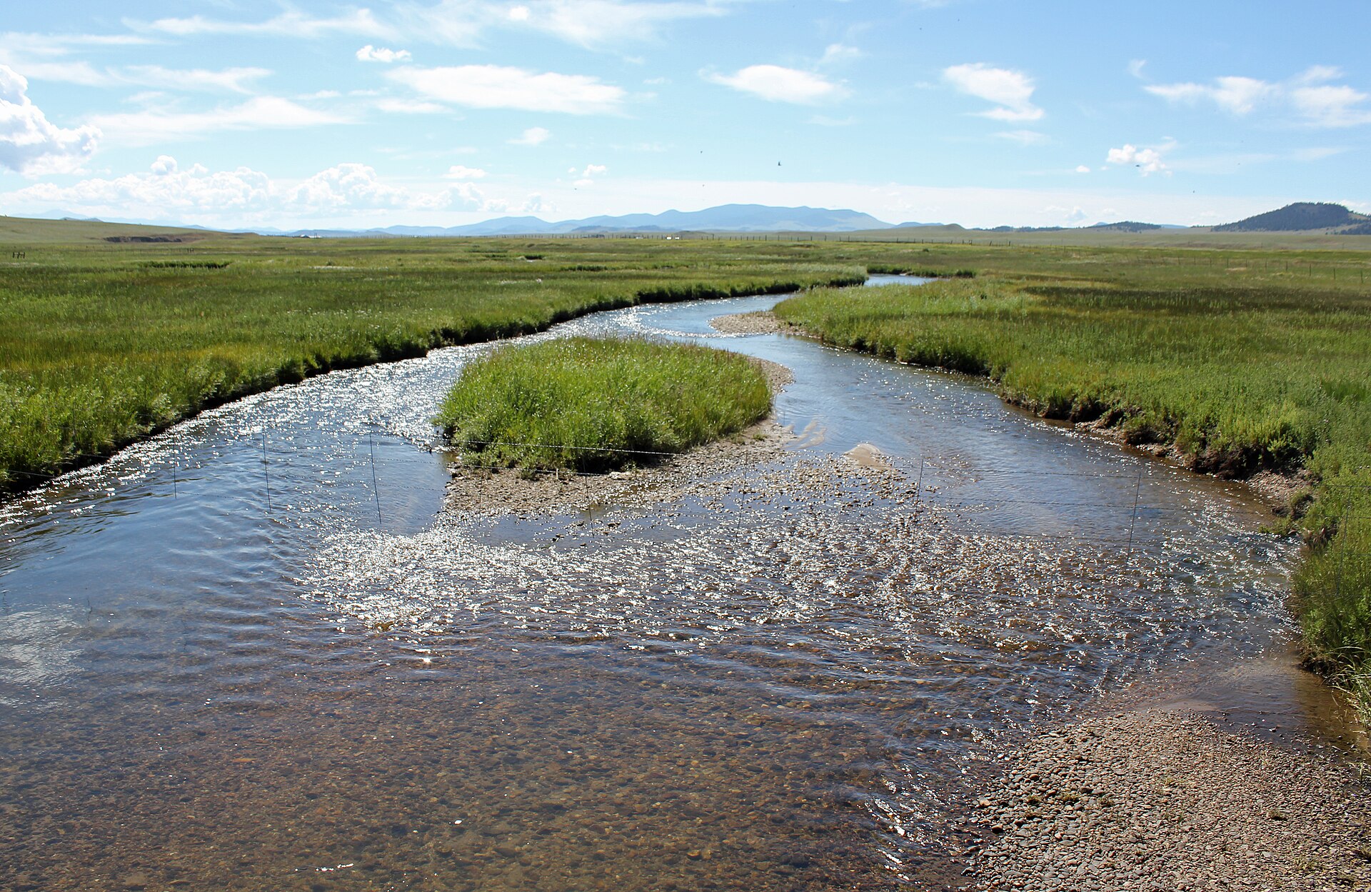 Middle Fork South Platte RiverCanoeingPhoto: Jeffrey Beall, CC BY 3.0 (via Wikimedia Commons)6.3 mi
- Camp Hale East Fork Group CampgroundCamping8.5 mi
Source: Roamze catalog (indexable pages within 10 miles, PostGIS distance)
Is Traver Peak open right now?
Alert in the area
The Forest Service lists 8 alerts for Pike and San Isabel National Forests.
FSR 286, Radical Hill, is closed due to washouts and unsafe conditions
Agency alert covering Pike and San Isabel National Forests · USFS · Pike and San Isabel National Forests
Interlaken Hotel Tree Hazards
Agency alert covering Pike and San Isabel National Forests · USFS · Pike and San Isabel National Forests
National Forest Service Road 8 closure
Agency alert covering South Park Ranger District · Order 02-12-10-26-13 · USFS · South Park Ranger District
Sharpe Fire Update
Agency alert covering Pike and San Isabel National Forests · USFS · Pike and San Isabel National Forests
Turquoise Lake Road (County Road 4) Closure
Agency alert covering Pike and San Isabel National Forests · USFS · Pike and San Isabel National Forests
As of · Source: USFS · Pike and San Isabel National Forests. Agencies don't list every closure — check before you go.
