Fremont Pass
Fremont Pass in Colorado has 2 climbing routes on 2 difficulty grades.
- 2 routes
- 5.8+ – 5.10c
- Trad · Sport
Is Fremont Pass open right now?
Closure in the area
There's a closure order in Leadville Ranger District. It doesn't name Fremont Pass, so check the source for the area it covers.
Willow Fire Area Closure
Agency closure covering Leadville Ranger District · Order 02-12-01-26-39 · USFS · Leadville Ranger District
FSR 286, Radical Hill, is closed due to washouts and unsafe conditions
Agency alert covering Pike and San Isabel National Forests · USFS · Pike and San Isabel National Forests
Interlaken Hotel and Annex Area closure
Agency alert covering Leadville Ranger District · Order 02-12-01-26-19 · USFS · Leadville Ranger District
Interlaken Hotel Tree Hazards
Agency alert covering Pike and San Isabel National Forests · USFS · Pike and San Isabel National Forests
Sharpe Fire Update
Agency alert covering Pike and San Isabel National Forests · USFS · Pike and San Isabel National Forests
As of · Source: USFS · Leadville Ranger District. Agencies don't list every closure — check before you go.
Best time to visit Fremont Pass
No month here meets our mild-weather rule. Best months have typical highs of 55–85 °F, lows of 30 °F or warmer (32 °F where the station doesn't record snow), at most one snowy day and no more than 12 wet days.
Jan
27° / 3°
15 wet · 15 snow
Feb
29° / 3°
15 wet · 15 snow
Mar
35° / 8°
14 wet · 14 snow
Apr
40° / 15°
13 wet · 13 snow
May
49° / 25°
10 wet · 8 snow
Jun
61° / 34°
8 wet · 2 snow
Jul
67° / 40°
13 wet
Aug
64° / 39°
15 wet
Sep
58° / 32°
11 wet · 2 snow
Oct
47° / 21°
9 wet · 7 snow
Nov
35° / 11°
12 wet · 12 snow
Dec
27° / 3°
15 wet · 15 snow
Typical high / low (°F) and days with rain or snow, 1991–2020. Measured at Climax, CO, 1.4 mi away at 11,344 ft. The station sits about 600 ft higher than this place, so expect it a little warmer here. Source: NOAA NCEI U.S. Climate Normals 1991–2020.
Fremont Pass is a climbing area in the Leadville Ranger District of the Pike and San Isabel National Forests in Colorado, managed by the Forest Service. It sits in the high country, and the nearest town is Leadville, about 16 miles away. Summer is the most comfortable time to visit. Typical averages from the nearby Climax weather station, at a similar elevation, show July highs around 67°F with lows near 40°F, while winter brings highs in the mid-20s and frequent snow days from December through February. Cecilville Slab, also known as Cecil Rock, is the closest climbing area, about 1.6 miles away. Mount Arkansas and Buckeye Lake Trail are both within about 2.6 miles. For an overnight stay, Kite Lake Campground is about 4.6 miles off.
Routes (2)
Hidden Wall(1)
Lower Band(1)
Keep exploring — more climbs worth the drive
 Photo: KimonBerlin, CC BY-SA 2.0 (via Flickr)
Hornsilver
~22 min drive
Hornsilver in Colorado has 4 routes with sport and trad options.
Photo: KimonBerlin, CC BY-SA 2.0 (via Flickr)Roof Rock
~22 min drive
Roof Rock in Colorado has 7 climbing routes across 5 grades, offering sport and trad options.
 Photo: foto3116, CC BY 2.0 (via Flickr)
Tiger Cliff
~26 min drive
Tiger Cliff in Colorado has 3 routes with alpine no fixed protection.
Photo: foto3116, CC BY 2.0 (via Flickr)Main Wall
~26 min drive
Main Wall in Colorado has 5 climbing routes with alpine no fixed protection.
Photo: KimonBerlin, CC BY-SA 2.0 (via Flickr)Upper Tier Right
~22 min drive
Upper Tier Right in Colorado has 6 mixed and sport climbing routes across 5 difficulty grades.
Cecilville Slab aka Cecil Rock
~3 min drive
Cecilville Slab (Cecil Rock) in Colorado has 9 climbing routes across 5 grades.
Alpine Rock
~6 min drive
Alpine Rock in Colorado has 33 climbing routes with 13 difficulty grades.
Quandary Peak
~11 min drive
Quandary Peak in Colorado has 7 climbing routes with 6 difficulty grades.
Mule Train Wall
~16 min drive
Mule Train Wall in Colorado has 5 sport routes with 4 difficulty grades.
Finback Crags
~18 min drive
Finback Crags in Colorado has 9 climbing routes with 6 difficulty grades, offering sport and trad styles.
Also worth it near here
Buffehr Lake
~4 min drive
 Photo: Jeremiah LaRocco, CC BY-SA 2.0 (via Wikimedia Commons)
Mount Arkansas
~4 min drive
Sangree M. Froelicher Hut
~5 min drive
 Photo: Jeffrey Beall, CC BY 3.0 (via Wikimedia Commons)
East Fork Arkansas River
~6 min drive
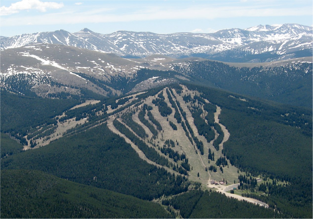 Photo: The original uploader was Sculptorjones at English Wikipedia., Public domain (via Wikimedia Commons)
Ski Cooper
~7 min drive
