
Mountain · 1 route
Mount Evans
13,586 ft · Colorado
Photo: Clyde Charles Brown, CC BY-SA 4.0 (via Wikimedia Commons)
- Summit
- 13,586 ft
- Routes
- 1 way up
- Managed by
- Bureau of Land Management
Route up Mount Evans
About Mount Evans
Mount Evans is a summit in Park County, Colorado, at about 13,586 feet.
Forecast on Mount Evans
Daily highs and lows, wind and the chance of precipitation at the summit and mosquito pass 2wd parking for the next 7 days, from the Open-Meteo model.
Questions about Mount Evans
How tall is Mount Evans?
13,586 ft (4,141 m).
How many routes go to the summit of Mount Evans?
One: Mount Evans.
Where do the routes up Mount Evans start?
Mount Evans starts at Mosquito Pass 2WD Parking.
Mountains nearby
- West Dyer Mountain13,055 ft · Colorado1 route1.2 mi away
 Dyer Mountain13,855 ft · Colorado1 route1.2 mi awayPhoto: Xnatedawgx, CC BY-SA 3.0 (via Wikimedia Commons)
 Pennsylvania Mountain13,012 ft · Colorado2 routes2.2 mi awayPhoto: Clyde Charles Brown, CC BY-SA 4.0 (via Wikimedia Commons)
 Mount Sherman14,039 ft · Colorado3 routes2.3 mi awayPhoto: Stargazer7121, Public domain (via Wikimedia Commons)
- London Mountain13,194 ft · Colorado1 route2.3 mi away
 Mount Sheridan13,753 ft · Colorado1 route3.3 mi awayPhoto: John Holm, CC BY 2.5 (via Wikimedia Commons)
Facts about this place
Where it is
- Royal Gorge Field Office · Bureau of Land Management
- Nearest town
- Leadville, Colorado · 6 mi
- Managed by
- Bureau of Land Management
Nearby
- Mount ShermanHiking2.1 mi
 Mount Sherman from Iowa GulchHikingPhoto: foto3116, CC BY 2.0 (via Flickr)2.8 mi
- Finback CragsRock climbing4 mi
 East Fork Arkansas RiverCanoeingPhoto: Jeffrey Beall, CC BY 3.0 (via Wikimedia Commons)5.1 mi
- Cecilville Slab aka Cecil RockRock climbing5.4 mi
- Fourmile CampgroundCamping5.5 mi
- Kite Lake CampgroundCamping5.7 mi
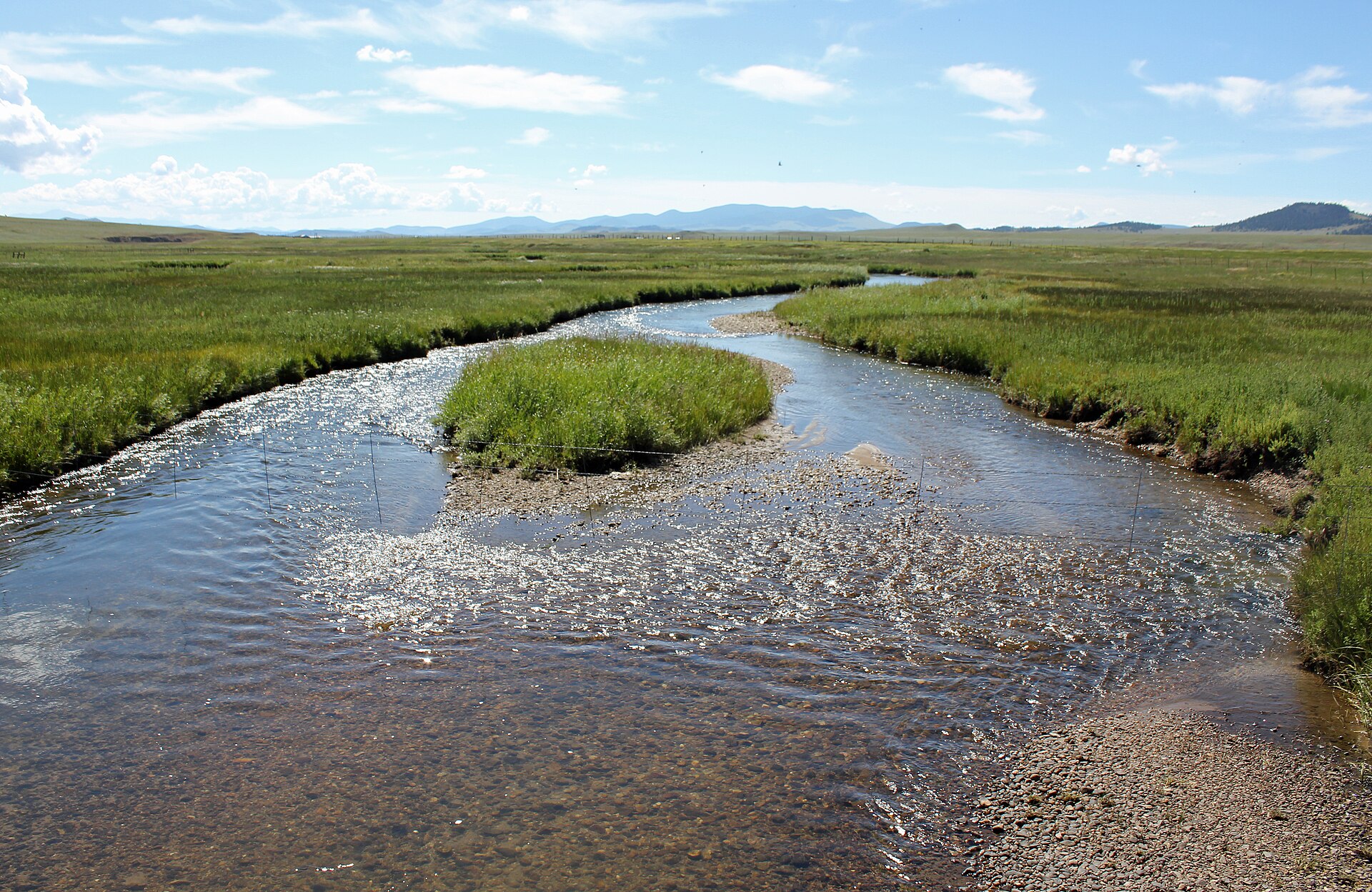 Middle Fork South Platte RiverCanoeingPhoto: Jeffrey Beall, CC BY 3.0 (via Wikimedia Commons)7.1 mi
Source: Roamze catalog (indexable pages within 10 miles, PostGIS distance)
