
Diorite Peak
About
Diorite Peak is a summit of about 12,751 feet in La Plata County, Colorado, on land managed by the Forest Service as part of the San Juan National Forest. It sits within the Columbine Ranger District and the Mancos/Dolores Ranger District, and the nearest town is Mancos, about 15 miles away. Darby Campground is about a mile away, and the Sharkstooth hike is roughly 1.6 miles off. Hesperus Mountain is about 3 miles away, and La Plata City Campground is about 3.3 miles away.
Summit Facts
Summit elevation
12,751 ft
Land manager
Forest Service
Elevation from USGS 3D Elevation Program terrain data (about 10 m resolution).
Location
Diorite Peak
Colorado
Name and location: U.S. Geological Survey, Geographic Names Information System (GNIS). Elevation: USGS 3D Elevation Program. View the GNIS record.
Facts about this place
Where it is
- Columbine Ranger District · Ranger district
- Mancos/Dolores Ranger District · Ranger district
- San Juan National Forest · National forest
- Nearest town
- Mancos, Colorado · 15 mi
- Managed by
- Forest Service
Source: USFS EDW boundaries; USGS PAD-US 4.1; USGS GNIS populated places
Conditions
Active alerts for Columbine Ranger District as of Oct 9, 2026:
La Plata Canyon Camping and Fire Restrictions
information · posted Aug 24, 2026
Andrews Lake Camping Restrictions
information · posted Aug 24, 2026
Purgatory Ski Resort Area Vehicle Use Restrictions
information · posted Aug 24, 2026
caution · posted Aug 24, 2026
information · posted Aug 24, 2026
Falls Creek Closure Area, Camping, and Motor Vehicle Travel Restrictions
information · posted Aug 24, 2026
Mainstem Hermosa Creek Culvert Installation Project Area Closure
information · posted Aug 24, 2026
Mainstem Hermosa Creek Culvert Installation Project NFSR 578 Road Closure
information · posted Aug 24, 2026
Source: USFS forest alerts
Nearby
- Darby CampgroundCamping1 mi
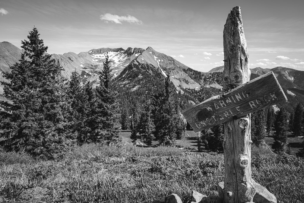 SharkstoothHikingPhoto: Daniel Weber, Public Domain Dedication (CC0) (via Flickr)1.6 mi
 Hesperus MountainHikingPhoto: Jlberney, CC BY-SA 3.0 (via Wikimedia Commons)2.9 mi
- La Plata City CampgroundCamping3.3 mi
- Junction CreekCanoeing8.2 mi
- Carly CragRock climbing8.2 mi
- Hillside Drive in San Juan National ForestRock climbing8.5 mi
- West Mancos RiverCanoeing9.4 mi
Source: Roamze catalog (indexable pages within 10 miles, PostGIS distance)
Is Diorite Peak open right now?
Closure in the area
There's a closure order in San Juan National Forest. It doesn't name Diorite Peak, so check the source for the area it covers (2 listed).
Closures and dangerous conditions on roads, bridges, and trails from flooding
Agency closure covering San Juan National Forest · USFS · San Juan National Forest
Multiple roads and trails damaged by flooding on SJNF
Agency closure covering San Juan National Forest · USFS · San Juan National Forest
Bear Activity High Across San Juan National Forest
Agency alert covering San Juan National Forest · USFS · San Juan National Forest
Cascade Flume Safety Closure
Agency alert covering Columbine Ranger District · Order 02-13-08-25-07 · USFS · Columbine Ranger District
As of · Source: USFS · San Juan National Forest. Agencies don't list every closure — check before you go.
