Darby Campground
Campground
Campground · 2.2 mi from the trail
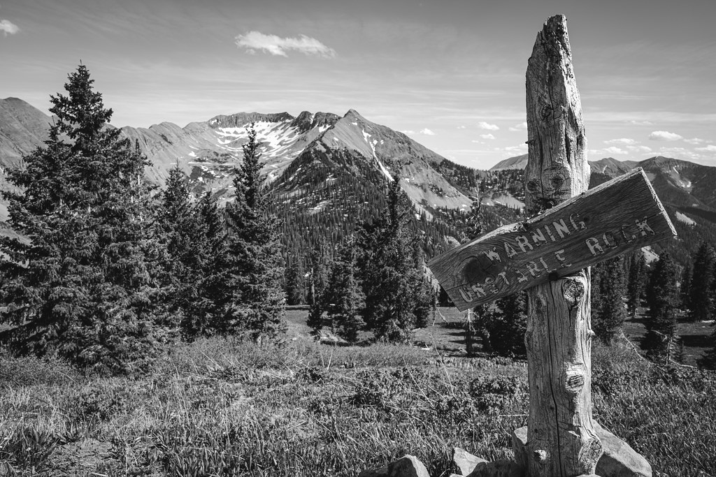 Photo: Daniel Weber, Public Domain Dedication (CC0) (via Flickr)
Closure in the area
There's a closure order in Columbine Ranger District. It doesn't name Sharkstooth, so check the source for the area it covers (5 listed).
Pagosa Ranger District Road Closure
Agency closure covering Columbine Ranger District · Order 02-13-08-26-17 · USFS · Columbine Ranger District
COLUMBINE RANGER DISTRICT Road Closure
Agency closure covering Columbine Ranger District · Order 02-13-08-26-18 · USFS · Columbine Ranger District
Travel is not advised to the San Juan NF
Agency closure covering San Juan National Forest · USFS · San Juan National Forest
Closures and dangerous conditions on roads, bridges, and trails from flooding
Agency closure covering San Juan National Forest · USFS · San Juan National Forest
Multiple roads and trails damaged by flooding on SJNF
Agency closure covering San Juan National Forest · USFS · San Juan National Forest
As of · Source: USFS · Columbine Ranger District. Agencies don't list every closure — check before you go.
Sharkstooth is a hard hike of about 13 miles on the natural-surfaced trail in the Columbine Ranger District of San Juan National Forest, managed by the Forest Service. The trail is an out-and-back that gains about 1,000 feet, from a low of roughly 10,917 feet to a high of about 11,950 feet. Bikes and horses are both allowed, so the route works for riders and pack animals as well as hikers. The climb is a one-way figure of 985 feet, and the round trip would cover about 2,000 feet of elevation. Darby Campground is about 2 miles away, and the South Fork Trail and Grindstone Trail are both within about 3.5 miles. La Plata City Campground is about 5 miles off.
Darby Campground
Campground
Places © OpenStreetMap contributors
More in DurangoNot on Roamze yet. Their page has how to reach them.
 Hermosa CreekCanoeingPhoto: Jeffrey Beall, CC BY 4.0 (via Wikimedia Commons)9.1 mi
Source: Roamze catalog (indexable pages within 10 miles, PostGIS distance)
 Hesperus MountainHiking · ~6 min drivePhoto: Jlberney, CC BY-SA 3.0 (via Wikimedia Commons)Mount MossHiking · ~6 min drivePhoto: Jlberney, CC BY-SA 3.0 (via Wikimedia Commons)

