Beaver Creek Site 1
Campground
Campground · 4.6 mi from the trail
 Photo: Jeffrey Beall, CC BY 4.0 (via Wikimedia Commons)
Closure in the area
There's a closure order in Rio Grande National Forest. It doesn't name Del Norte Peak, so check the source for the area it covers.
Closures and dangerous conditions on roads, bridges, and trails from flooding
Agency closure covering Rio Grande National Forest · USFS · Rio Grande National Forest
As of · Source: USFS · Rio Grande National Forest. Agencies don't list every closure — check before you go.
Del Norte Peak is a summit in Rio Grande County, Colorado, within the Divide Ranger District of the Rio Grande National Forest. The Forest Service manages the surrounding land, and the nearest town is Gerrard, about 6.3 miles away. The peak is a high-country objective in this part of the forest, best suited to visitors planning a day in the mountains around the Divide district. Because the summit sits on national forest land, standard Forest Service rules apply to visits here. Nearby, Shady Trail is about 1.2 miles away, Wolf Creek about 2.6 miles and Schrader Creek Trail about 3.2 miles. For an overnight base, Cross Creek Campground lies about 4.8 miles from the summit.
Beaver Creek Site 1
Campground
Rio Grande County Museum
Museum
Places © OpenStreetMap contributors, Places © Overture Maps Foundation
More in South ForkDaily highs and lows, wind and the chance of precipitation at the summit for the next 7 days, from the Open-Meteo model.
Elevation from USGS 3D Elevation Program terrain data (about 10 m resolution).
We don't know of a mapped trail or route to the summit of Del Norte Peak. Plan the approach with local maps, a guidebook or a local guide, and check conditions before you go.
12,403 ft (3,780 m).
We don't know of a mapped trail or route to the summit. Plan the approach with local maps, a guidebook or a local guide.


Source: Roamze catalog (indexable pages within 10 miles, PostGIS distance)
Bennett PeakSummit · ~18 min drivePhoto: David Herrera, CC BY 2.0 (via Wikimedia Commons) Pintada MountainSummit · ~19 min drivePhoto: Leith Edgar / USFWS, Public domain (via Wikimedia Commons)
 Eagle MountainSummit · ~30 min drivePhoto: Jeffrey Beall, CC BY 4.0 (via Wikimedia Commons)Conejos PeakSummit · ~36 min drivePhoto: Jeffrey Beall, CC BY 4.0 (via Wikimedia Commons)
 Pagosa PeakSummit · ~50 min drivePhoto: Jeffrey Beall, CC BY 4.0 (via Wikimedia Commons)
 Bristol HeadSummit · ~52 min drivePhoto: woodleywonderworks, CC BY 2.0 (via Wikimedia Commons)
 San Luis PeakSummit · ~58 min drivePhoto: Mikejonesman, CC BY-SA 3.0 (via Wikimedia Commons)
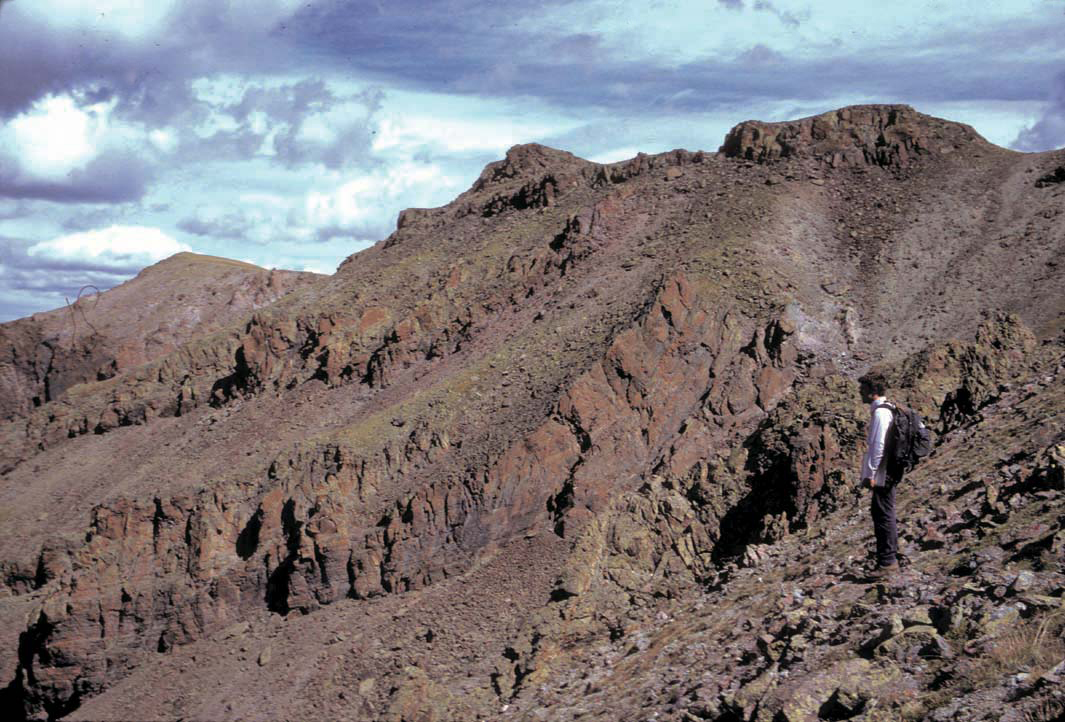 Stewart PeakSummit · ~1h 1m drivePhoto: P.W. Lipman, Public domain (via Wikimedia Commons)
 Cimarrona PeakSummit · ~1h 2m drivePhoto: Jeffrey Beall, CC BY 4.0 (via Wikimedia Commons)
 Cochetopa DomeSummit · ~1h 17m drivePhoto: John Sowell, CC BY-SA 4.0 (via Wikimedia Commons)


