Pineridge Natural Area
About
Pineridge Natural Area is a city-managed park run by the City of Fort Collins, about 4 miles from Fort Collins, Colorado. Several named trails start right at its edges, making it a compact base for hiking, mountain biking and bouldering close to town. Typical averages from a nearby Fort Collins weather station suggest late spring and early fall are the most comfortable times to visit, with September highs around 77°F and lows near 48°F. May runs a little cooler, with highs about 71°F, but it brings the most wet days of the year. The Foothills Trail and Valley Trail both begin about a tenth of a mile away, and the Ridge Trail and the timber trail mountain bike route lie within half a mile. For climbers, Sunshine Boulder is roughly 0.6 miles off.
Park size
675 acres
Inside this park
Trails
Facts about this place
When to go
Best time to go: Apr–Jun. The mildest months here, with typical highs of 63–82°F and lows of 35–53°F.
Typical monthly averages (not a forecast) from the Ft Collins, CO weather station, 3.6 mi away. High / low in °F.
- Jan45° high18° low
- Feb47° high21° low
- Mar56° high29° low
- Apr63° high35° low
- May71° high44° low
- Jun82° high53° low
- Jul87° high59° low
- Aug85° high57° low
- Sep77° high48° low
- Oct64° high36° low
- Nov53° high26° low
- Dec44° high18° low
Where it is
- Pineridge Natural Area · Public land
- Nearest town
- Fort Collins, Colorado · 3.9 mi
Source: NIFC Jurisdictional Units; USGS GNIS populated places
Nearby
 Foothills TrailHikingPhoto: Greg Younger from Fort Collins, USA, CC BY-SA 2.0 (via Wikimedia Commons)0.1 mi
 Valley TrailHikingPhoto: Vic Dillahay, CC BY 2.0 (via Flickr)0.1 mi
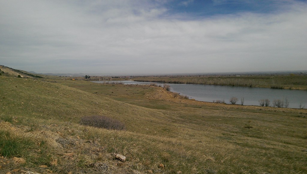 Ridge TrailHikingPhoto: Vic Dillahay, CC BY 2.0 (via Flickr)0.4 mi
- timber trailMountain biking0.4 mi
- Sunshine BoulderRock climbing0.6 mi
- Main WallRock climbing0.6 mi
- Piano RidgeRock climbing0.6 mi
 Cache la Poudre RiverCanoeingPhoto: Wusel007, CC BY-SA 3.0 (via Wikimedia Commons)5.5 mi
Source: Roamze catalog (indexable pages within 10 miles, PostGIS distance)
Best time to visit Pineridge Natural Area
Best months: April–June and August–October. Best months have typical highs of 55–85 °F, lows of 30 °F or warmer (32 °F where the station doesn't record snow), at most one snowy day and no more than 12 wet days.
Jan
45° / 18°
4 wet
Feb
47° / 21°
5 wet
Mar
56° / 29°
6 wet
Apr
63° / 35°
9 wet
May
71° / 44°
12 wet
Jun
82° / 53°
10 wet
Jul
87° / 59°
9 wet
Aug
85° / 57°
9 wet
Sep
77° / 48°
7 wet
Oct
64° / 36°
6 wet
Nov
53° / 26°
5 wet
Dec
44° / 18°
4 wet
Typical high / low (°F) and days with rain or snow, 1991–2020. Measured at Ft Collins, CO, 3.6 mi away at 5,004 ft. We don't have this place's elevation, so higher spots nearby can run cooler. This station doesn't record snowfall. Source: NOAA NCEI U.S. Climate Normals 1991–2020.
