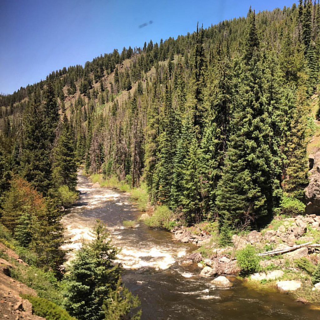
Idlewild Campground
Campground
Campground · 4.3 mi from the trail
 Photo: Photo by Tom Ortmeyer. – U.S. Department of Energy from United States, Public domain (via Wikimedia Commons)
Devil's Falls is a cross-country ski route in Colorado, about 2 miles from the town of Fraser. The route is short, covering roughly 0.35 miles, and the climb is minimal, with a total gain of 26 feet from a starting elevation of about 8,625 feet to a high point of about 8,658 feet. The steepest stretch comes at about 0.28 miles in, with a grade of about 5 percent. Winter is the natural season for this kind of skiing. Typical averages from a nearby weather station in Fraser show January highs around 31°F with lows near -1°F, while June runs warmer, with highs around 72°F and lows near 33°F. The station sits at nearly the same elevation as the route, so those figures are a fair guide to conditions on the trail. Homer's Heffers, another cross-country ski route, lies just 0.1 mile away, and Meander is about 0.4 mile off. For paddling, Ranch Creek is about 0.6 mile away and the Fraser River about 1.8 miles.
Idlewild Campground
Campground
Heck's Tavern
Pub
 If it rainsUser:Magicpiano, CC BY-SA 4.0 · Wikimedia Commons
Historic house-museum in Georgetown, Colorado, United States
Places © OpenStreetMap contributors · Photos: User:Magicpiano, CC BY-SA 4.0 (commons)
More in Idaho SpringsNot on Roamze yet. Their page has how to reach them.
Best months: June–August. Best months have typical highs of 55–85 °F, lows of 30 °F or warmer (32 °F where the station doesn't record snow), at most one snowy day and no more than 12 wet days.
Jan
31° / -1°
11 wet
Feb
34° / 2°
10 wet
Mar
43° / 11°
9 wet
Apr
51° / 20°
8 wet
May
62° / 27°
7 wet
Jun
72° / 33°
6 wet
Jul
77° / 38°
9 wet
Aug
74° / 37°
10 wet
Sep
68° / 29°
8 wet
Oct
56° / 21°
7 wet
Nov
41° / 10°
8 wet
Dec
31° / -1°
10 wet
Typical high / low (°F) and days with rain or snow, 1991–2020. Measured at Fraser, CO, 2 mi away at 8,560 ft. This station doesn't record snowfall. Source: NOAA NCEI U.S. Climate Normals 1991–2020.
Photo: Photo by Tom Ortmeyer. – U.S. Department of Energy from United States, Public domain (via Wikimedia Commons)Meander
Next door
0.68-mile cross-country ski trail in Colorado with 85 ft of elevation gain.
 Photo: Chris Light, CC BY-SA 4.0 (via Wikimedia Commons)
Ram'S Curl
~1 min drive
0.45-mile trail in Colorado with 57 ft of elevation gain.
 Photo: Chris Light, CC BY-SA 4.0 (via Wikimedia Commons)
Ranch Walk
~1 min drive
0.75-mile cross-country ski trail in Colorado with 101 ft of elevation gain.
 Photo: Cemeyer2, CC BY 3.0 (via Wikimedia Commons)
Winter Park Resort
~11 min drive
Winter Park Resort is a ski area in Colorado with 25 lifts and 141 runs.
SKI
Take D'leap (Snow)
~8 min drive
0.49-mile out-and-back route in Colorado with 178 ft of elevation gain.
Photo: Chris Light, CC BY-SA 4.0 (via Wikimedia Commons)Wilson'S Way
~2 min drive
1.03-mile route in Colorado with 114 ft of elevation gain.
Photo: Chris Light, CC BY-SA 4.0 (via Wikimedia Commons)Rancher Bob
~1 min drive
1.78-mile cross-country ski trail in Colorado with 271 ft of elevation gain.
Photo: Chris Light, CC BY-SA 4.0 (via Wikimedia Commons)Meadow
~2 min drive
Meadow is a 1.17-mile cross-country ski trail in Colorado with 154 feet of elevation gain.
Photo: Chris Light, CC BY-SA 4.0 (via Wikimedia Commons)Nor'Way
~2 min drive
1.54-mile cross-country ski trail in Colorado with 214 ft of elevation gain.
Photo: Chris Light, CC BY-SA 4.0 (via Wikimedia Commons)Coyote
~2 min drive
Coyote is a 0.58-mile route in Colorado with 82 ft of elevation gain.
Map and trail data © OpenStreetMap contributors