Saguache Creek
- 85.4 mi
- distance
- 9,483 ft
- high point
- Jun–Aug
- best months
Is Saguache Creek open right now?
Closure in the area
There's a closure order in Rio Grande National Forest. It doesn't name Saguache Creek, so check the source for the area it covers.
Closures and dangerous conditions on roads, bridges, and trails from flooding
Agency closure covering Rio Grande National Forest · USFS · Rio Grande National Forest
As of · Source: USFS · Rio Grande National Forest. Agencies don't list every closure — check before you go.
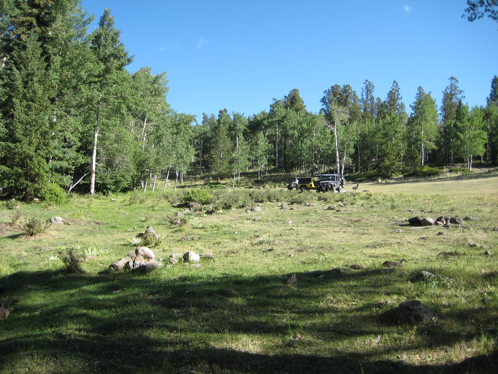
Saguache Creek is an 85-mile paddling stretch in Colorado, running through the Saguache Ranger District of the Rio Grande National Forest, about 9 miles from the town of Saguache. The Forest Service manages the land along the creek, and the route is a long, continuous stretch rather than a single trail or route. The creek is intermittent and may run dry in some seasons, so water levels can vary. USGS models an average flow of about 238 cubic feet per second and a gradient of about 22.7 feet per mile. Summer is the most comfortable time to paddle. Typical averages from a nearby weather station at Sargents run to highs around 76°F in June and 82°F in July. That station sits roughly 1,000 feet lower than the creek, so expect cooler temperatures on the water. Winter brings frequent snow days and lows well below zero from December through February. Carnero Guard Station, a campground, lies about 10 miles away and is the closest nearby stop for supplies or a place to stay.
Local outfitters
- Monarch Spur RV Park32 mi away
- Four Seasons RV Park35 mi away
Not on Roamze yet. Their page has how to reach them.
Source: Roamze catalog (indexable pages within 10 miles, PostGIS distance)
 Carnero CreekCanoeing · ~25 min drivePhoto: Jeffrey Beall, CC BY 4.0 (via Wikimedia Commons)
- Salida East Recreation Site Boat LaunchBoat launch · ~60 min drive
 San Luis CreekCanoeing · ~35 min drivePhoto: Scarpy, CC BY-SA 3.0 (via Wikimedia Commons)
- Vallie Bridge Recreation Site Boat LaunchBoat launch · ~1h drive
 Cochetopa CreekCanoeing · ~51 min drivePhoto: Ken Lund from Reno, Nevada, USA, CC BY-SA 2.0 (via Wikimedia Commons)
- Rincon Recreation Site Boat LaunchBoat launch · ~1h 1m drive
 South Arkansas RiverCanoeing · ~55 min drivePhoto: Jeffrey Beall, CC BY 4.0 (via Wikimedia Commons)
- Big Bend Recreation Site Boat LaunchBoat launch · ~1h 2m drive
 Quartz CreekCanoeing · ~1h 5m drivePhoto: Jeffrey Beall, CC BY 3.0 (via Wikimedia Commons)
- Trading Post River AccessBoat launch · ~1h 3m drive
Also worth it near here
Best time to visit Saguache Creek
Best months: June–August. Best months have typical highs of 55–85 °F, lows of 30 °F or warmer (32 °F where the station doesn't record snow), at most one snowy day and no more than 12 wet days.
Jan
33° / -5°
7 wet · 7 snow
Feb
37° / -3°
7 wet · 7 snow
Mar
45° / 9°
7 wet · 6 snow
Apr
54° / 20°
7 wet · 4 snow
May
65° / 26°
7 wet · 1 snow
Jun
76° / 32°
6 wet
Jul
82° / 39°
11 wet
Aug
79° / 37°
11 wet
Sep
73° / 28°
8 wet
Oct
61° / 17°
6 wet · 2 snow
Nov
46° / 8°
6 wet · 5 snow
Dec
34° / -4°
7 wet · 7 snow
Typical high / low (°F) and days with rain or snow, 1991–2020. Measured at Sargents, CO, 24.3 mi away at 8,460 ft. The station sits about 1,000 ft lower than this place, so expect it a little cooler here. Source: NOAA NCEI U.S. Climate Normals 1991–2020.