F12
Campground
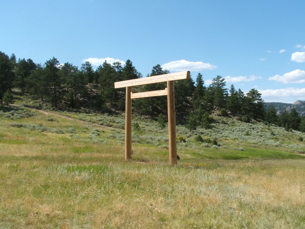
Campground · 2.5 mi from the trail
 Photo: Tony Webster, CC BY 2.0 (via Wikimedia Commons)
Alert in the area
The Forest Service lists 4 alerts for Canyon Lakes Ranger District.
Salt Cabin Prescribed (RX) Fire Closure
Agency alert covering Canyon Lakes Ranger District · Order 02-10-05-26-11 · USFS · Canyon Lakes Ranger District
Fire Restrictions
Agency alert covering Arapaho and Roosevelt National Forests · USFS · Arapaho and Roosevelt National Forests
West Crystal A - Mechanical Fuelbreak Area and Road Closure
Agency alert covering Canyon Lakes Ranger District · Order 02-10-05-26-04 · USFS · Canyon Lakes Ranger District
Cameron Peak Fire Road Closures
Agency alert covering Canyon Lakes Ranger District · Order 02-10-05-26-01 · USFS · Canyon Lakes Ranger District
As of · Source: USFS · Canyon Lakes Ranger District. Agencies don't list every closure — check before you go.
Disappointment Falls is a short mountain biking route in Colorado's Canyon Lakes Ranger District, part of the Arapaho and Roosevelt National Forests. The Forest Service manages the land, and the ride covers about 0.6 miles with a total elevation gain of 36 feet, making it a low-effort outing for riders looking to add a quick leg to a longer day in the district. The climb is gentle, with the steepest stretch at about 0.5 miles in, where the grade reaches 5 percent. The route starts at roughly 7,869 feet and peaks at about 7,901 feet before descending slightly to 7,863 feet at the end. Summer is the most comfortable time to ride. Typical averages from a nearby weather station at a similar elevation show July highs around 78°F with lows near 47°F, while winter highs stay in the mid-30s. Elkhorn Creek, a hike about 0.9 miles away, and the Lady Moon mountain biking route, about a mile off, are the closest options. West Lake Campground and Red Feather, both within about 3 miles, offer places to camp.
F12
Campground
Homestead Museum
Museum
Places © OpenStreetMap contributors
More in Red Feather LakesBest months: May–September. Best months have typical highs of 55–85 °F, lows of 30 °F or warmer (32 °F where the station doesn't record snow), at most one snowy day and no more than 12 wet days.
Jan
36° / 15°
5 wet
Feb
36° / 15°
5 wet
Mar
44° / 20°
6 wet
Apr
49° / 25°
8 wet
May
59° / 32°
9 wet
Jun
72° / 40°
8 wet
Jul
78° / 47°
9 wet
Aug
76° / 46°
10 wet
Sep
69° / 38°
8 wet
Oct
56° / 29°
6 wet
Nov
44° / 21°
5 wet
Dec
36° / 15°
5 wet
Typical high / low (°F) and days with rain or snow, 1991–2020. Measured at Rustic 9wsw, CO, 9.1 mi away at 7,700 ft. This station doesn't record snowfall. Source: NOAA NCEI U.S. Climate Normals 1991–2020.
 Photo: Forest Service Photography, Public domain (via Wikimedia Commons)
Lady Moon
~2 min drive
2.77-mile trail near 40.8°N 105.5°W with 335 ft gain
Photo: Forest Service Photography, Public domain (via Wikimedia Commons)Granite Ridge
~2 min drive
7.34-mile trail in Colorado with 915 ft of elevation gain
Photo: Tony Webster, CC BY 2.0 (via Wikimedia Commons)Elkhorn Creek
~3 min drive
Elkhorn Creek is a 2.00-mile trail in Colorado with 605 ft of elevation gain.
Photo: Forest Service Photography, Public domain (via Wikimedia Commons)Molly Moon
~3 min drive
Molly Moon is a 2.12-mile trail in Colorado with 324 ft of elevation gain.
 Photo: Forest Service Photography, Public domain (via Wikimedia Commons)
Lady Moon Loop
~3 min drive
1.10-mile trail near 40.8°N 105.5°W in Colorado with 190 ft elevation gain.
 Photo: Eric Johnson, CC BY-SA 3.0 (via Wikimedia Commons)
Molly Lake
~4 min drive
Molly Lake is a 0.11-mile trail in Colorado near 40.8°N 105.5°W.
 Photo: KimonBerlin, CC BY-SA 2.0 (via Wikimedia Commons)
Mount Margret Stock Bypass
~4 min drive
Mount Margret Stock Bypass is a 0.07-mile trail in Colorado.
 Photo: KimonBerlin, CC BY-SA 2.0 (via Wikimedia Commons)
East Dowdy Lake
~6 min drive
East Dowdy Lake is a 1.47-mile trail in Colorado with 263 ft of elevation gain.
 Photo: KimonBerlin, CC BY-SA 2.0 (via Wikimedia Commons)
Mount Margaret
~6 min drive
3.70-mile trail in Colorado's Trails near 40.8°N 105.5°W trail system
Photo: KimonBerlin, CC BY-SA 2.0 (via Wikimedia Commons)Frog Pond
~6 min drive
2.76-mile trail in Colorado with 138 ft elevation gain.
Map and trail data © OpenStreetMap contributors