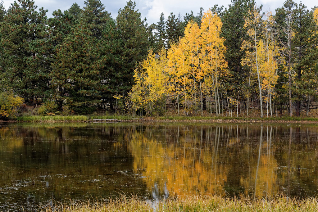
Dowdy Lake Campground
Campground
Campground · 1.7 mi from the trail
 Photo: KimonBerlin, CC BY-SA 2.0 (via Wikimedia Commons)
Alert in the area
The Forest Service lists 4 alerts for Canyon Lakes Ranger District.
Salt Cabin Prescribed (RX) Fire Closure
Agency alert covering Canyon Lakes Ranger District · Order 02-10-05-26-11 · USFS · Canyon Lakes Ranger District
Fire Restrictions
Agency alert covering Arapaho and Roosevelt National Forests · USFS · Arapaho and Roosevelt National Forests
West Crystal A - Mechanical Fuelbreak Area and Road Closure
Agency alert covering Canyon Lakes Ranger District · Order 02-10-05-26-04 · USFS · Canyon Lakes Ranger District
Cameron Peak Fire Road Closures
Agency alert covering Canyon Lakes Ranger District · Order 02-10-05-26-01 · USFS · Canyon Lakes Ranger District
As of · Source: USFS · Canyon Lakes Ranger District. Agencies don't list every closure — check before you go.
Columbine Ridge Loop is a short mountain biking route in the Canyon Lakes Ranger District of the Arapaho and Roosevelt National Forests in Colorado, managed by the Forest Service. The loop is about 0.46 miles long, with a total elevation gain of 81 feet and a total loss of 113 feet, so it works well as a quick ride or a warm-up before heading out on longer trails in the area. Summer is the most comfortable time to ride. Typical averages from a nearby weather station at about 7,700 feet show July highs around 78°F with lows near 47°F, while winter highs stay in the mid-30s. The Columbine Ridge and Columbine trails both start within half a mile. Dowdy Lake Campground is about 1.7 miles away, and the Red Feather Lakes climbing area is about 1.9 miles off.
Dowdy Lake Campground
Campground
Homestead Museum
Museum
Places © OpenStreetMap contributors, Places © Overture Maps Foundation
More in Red Feather Lakes Columbine RidgeMountain bikingPhoto: KimonBerlin, CC BY-SA 2.0 (via Wikimedia Commons)0.1 miColumbineMountain bikingPhoto: KimonBerlin, CC BY-SA 2.0 (via Wikimedia Commons)0.4 mi
 North Fork Cache La Poudre RiverCanoeingPhoto: Peter J. Caprio, CC BY-SA 4.0 (via Wikimedia Commons)5.9 mi
Source: Roamze catalog (indexable pages within 10 miles, PostGIS distance)
Columbine RidgeMountain biking · Next doorPhoto: KimonBerlin, CC BY-SA 2.0 (via Wikimedia Commons) Frog Pond West LoopMountain biking · Next doorPhoto: KimonBerlin, CC BY-SA 2.0 (via Wikimedia Commons)Columbine North LoopMountain biking · Next doorPhoto: KimonBerlin, CC BY-SA 2.0 (via Wikimedia Commons)Frog PondMountain biking · ~1 min drivePhoto: KimonBerlin, CC BY-SA 2.0 (via Wikimedia Commons)
 East Dowdy LakeMountain biking · ~2 min drivePhoto: KimonBerlin, CC BY-SA 2.0 (via Wikimedia Commons)
 Mount Margret Stock BypassMountain biking · ~3 min drivePhoto: KimonBerlin, CC BY-SA 2.0 (via Wikimedia Commons)
 Lady Moon LoopMountain biking · ~4 min drivePhoto: Forest Service Photography, Public domain (via Wikimedia Commons)
 Molly MoonMountain biking · ~6 min drivePhoto: Forest Service Photography, Public domain (via Wikimedia Commons)Lady MoonMountain biking · ~6 min drivePhoto: Forest Service Photography, Public domain (via Wikimedia Commons)Granite RidgeMountain biking · ~6 min drivePhoto: Forest Service Photography, Public domain (via Wikimedia Commons)
Best months: May–September. Best months have typical highs of 55–85 °F, lows of 30 °F or warmer (32 °F where the station doesn't record snow), at most one snowy day and no more than 12 wet days.
Jan
36° / 15°
5 wet
Feb
36° / 15°
5 wet
Mar
44° / 20°
6 wet
Apr
49° / 25°
8 wet
May
59° / 32°
9 wet
Jun
72° / 40°
8 wet
Jul
78° / 47°
9 wet
Aug
76° / 46°
10 wet
Sep
69° / 38°
8 wet
Oct
56° / 29°
6 wet
Nov
44° / 21°
5 wet
Dec
36° / 15°
5 wet
Typical high / low (°F) and days with rain or snow, 1991–2020. Measured at Rustic 9wsw, CO, 11.7 mi away at 7,700 ft. This station doesn't record snowfall. Source: NOAA NCEI U.S. Climate Normals 1991–2020.
Map and trail data © OpenStreetMap contributors