Major
- 2.0 mi
- distance
- 527 ft
- climb
- Jun–Sep
- best months
Is Major open right now?
Closure in the area
There's a closure order in Rio Grande National Forest. It doesn't name Major, so check the source for the area it covers.
Closures and dangerous conditions on roads, bridges, and trails from flooding
Agency closure covering Rio Grande National Forest · USFS · Rio Grande National Forest
As of · Source: USFS · Rio Grande National Forest. Agencies don't list every closure — check before you go.
Major is a mountain biking route in the Saguache Ranger District of the Rio Grande National Forest in Colorado, managed by the Forest Service. The ride is about 2 miles long, with a one-way climb of 527 feet from a starting elevation of about 8,680 feet to a high point of about 8,952 feet. The steepest stretch comes at about the 1-mile mark, where the grade reaches 21%. Summer is the most comfortable time to ride. Typical averages from a nearby weather station at Crestone show July highs around 81°F with lows near 50°F, while winter brings highs in the low 30s and regular snow days from December through February. Lakes Peak is about 0.6 miles away, and the Garner mountain biking area is about 1.1 miles off. Cottonwood Peak and the Hot Springs hike are both within about 1.6 miles. Valley View Hot Springs, about 2 miles away, offers camping.
Local outfitters
- San Luis Valley Campground9 mi away
- Four Seasons RV Park25 mi away
Not on Roamze yet. Their page has how to reach them.
- Lakes PeakHiking0.6 mi
- GarnerMountain biking1.1 mi
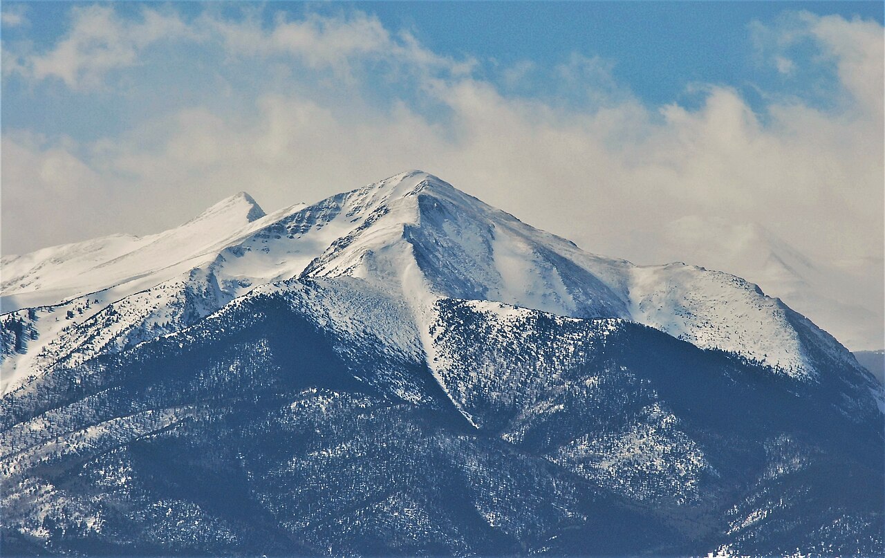
 Cottonwood PeakHikingPhoto: lamblukas, CC BY 2.0 (via Flickr)1.2 mi
- Hot SpringsHiking1.6 mi
 Valley View Hot SpringsCampingPhoto: Dan Nevill, CC BY 2.0 (via Wikimedia Commons)2 mi
- Joyful Journey Hot Springs RV SitesCamping6.9 mi
 San Luis CreekCanoeingPhoto: Scarpy, CC BY-SA 3.0 (via Wikimedia Commons)7 mi
- San Luis Valley CampgroundCamping9.1 mi
Source: Roamze catalog (indexable pages within 10 miles, PostGIS distance)
 South CrestoneMountain biking · ~24 min drivePhoto: Fredlyfish4, CC BY-SA 4.0 (via Wikimedia Commons)
 Horn Creek SpurMountain biking · ~27 min drivePhoto: Fredlyfish4, CC BY-SA 4.0 (via Wikimedia Commons)
 Macey SpurMountain biking · ~29 min drivePhoto: Fredlyfish4, CC BY-SA 3.0 (via Wikimedia Commons)
- MaceyMountain biking · ~30 min drivePhoto: Fredlyfish4, CC BY-SA 4.0 (via Wikimedia Commons)
- GarnerMountain biking · ~2 min drive
- Hot SpringsMountain biking · ~3 min drive
- Rito AltoMountain biking · ~12 min drive
- San IsabelMountain biking · ~16 min drive
- San Isabel LakeMountain biking · ~16 min drive
- North Fork CrestoneMountain biking · ~18 min drive
Best time to visit Major
Best months: June–September. Best months have typical highs of 55–85 °F, lows of 30 °F or warmer (32 °F where the station doesn't record snow), at most one snowy day and no more than 12 wet days.
Jan
33° / 9°
5 wet · 6 snow
Feb
39° / 15°
5 wet · 5 snow
Mar
49° / 22°
6 wet · 6 snow
Apr
57° / 28°
7 wet · 4 snow
May
66° / 36°
7 wet · 2 snow
Jun
78° / 45°
7 wet
Jul
81° / 50°
12 wet
Aug
79° / 48°
12 wet
Sep
72° / 41°
8 wet
Oct
60° / 31°
6 wet · 2 snow
Nov
45° / 19°
5 wet · 4 snow
Dec
33° / 10°
5 wet · 6 snow
Typical high / low (°F) and days with rain or snow, 1991–2020. Measured at Crestone 2 Se, CO, 14.1 mi away at 8,004 ft. The station sits about 900 ft lower than this place, so expect it a little cooler here. Source: NOAA NCEI U.S. Climate Normals 1991–2020.
Map and trail data © OpenStreetMap contributors
