Priest Lake Designated Camping Area
Campground
Campground · 1.5 mi from the trail
Closure in the area
There's a closure order in Grand Mesa, Uncompahgre and Gunnison National Forests. It doesn't name Wilson Meadows, so check the source for the area it covers (2 listed).
Gold Mountain Wildfire Roads and Trails Closure Order v 4.0
Agency closure covering Grand Mesa, Uncompahgre and Gunnison National Forests · USFS · Grand Mesa, Uncompahgre and Gunnison National Forests
Ophir Pass Road Closure
Agency closure covering Grand Mesa, Uncompahgre and Gunnison National Forests · USFS · Grand Mesa, Uncompahgre and Gunnison National Forests
Potter Basin Road Closure Order
Agency alert covering Grand Mesa, Uncompahgre and Gunnison National Forests · USFS · Grand Mesa, Uncompahgre and Gunnison National Forests
Beaver Park Road Closure Order
Agency alert covering Grand Mesa, Uncompahgre and Gunnison National Forests · USFS · Grand Mesa, Uncompahgre and Gunnison National Forests
TERMINATION OF ORDER - FIRE RESTRICTIONS
Agency alert covering Grand Mesa, Uncompahgre and Gunnison National Forests · USFS · Grand Mesa, Uncompahgre and Gunnison National Forests
As of · Source: USFS · Grand Mesa, Uncompahgre and Gunnison National Forests. Agencies don't list every closure — check before you go.
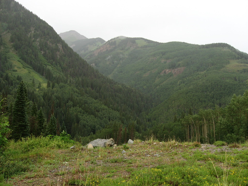
Wilson Meadows is a mountain biking route in the Lizard Head Wilderness, part of the Norwood Ranger District of the Grand Mesa, Uncompahgre and Gunnison National Forests in Colorado. The Forest Service manages the land, and the nearest town is Ames, about 2.5 miles away. The route is about 1.2 miles long, with a one-way climb of 366 feet from a starting elevation of about 10,895 feet to a high point of about 10,951 feet. The steepest stretch comes at about 0.49 miles in, with a grade of about 15 percent. The route also has a total descent of about 518 feet, so it works as a short loop or a connector between other trails. Lizard Head is about 1.1 miles away, and P Lake Ski Gravel Pit is about 1.4 miles away. For an overnight stay, Priest Lake Designated Camping Area is about 1.5 miles away. Lake Fork, a canoeing spot, is about 2.2 miles away.
Priest Lake Designated Camping Area
Campground
Little Hawaii Grotto
Attraction
Places © OpenStreetMap contributors, Places © Overture Maps Foundation
More in TellurideNot on Roamze yet. Their page has how to reach them.
Source: Roamze catalog (indexable pages within 10 miles, PostGIS distance)
 Magic MeadowsMountain biking · ~7 min drivePhoto: Jeffrey Beall, CC BY 4.0 (via Wikimedia Commons)AltaMountain biking · ~8 min drivePhoto: Jeffrey Beall, CC BY 4.0 (via Wikimedia Commons)Alta LakesMountain biking · ~9 min drivePhoto: Jeffrey Beall, CC BY 4.0 (via Wikimedia Commons)
 BlixtMountain biking · ~11 min drivePhoto: John Fowler from Placitas, NM, USA, CC BY 2.0 (via Wikimedia Commons)
 East Fork Bear CreekMountain biking · ~11 min drivePhoto: Miles Buddy, CC BY-SA 3.0 (via Wikimedia Commons)WasatchMountain biking · ~12 min drivePhoto: Miles Buddy, CC BY-SA 3.0 (via Wikimedia Commons)
 WampusMountain biking · ~13 min drivePhoto: Miles Buddy, CC BY-SA 3.0 (via Wikimedia Commons)
Also worth it near here
 Matterhorn Campground RoadCross-country skiing · ~3 min drivePhoto: Doncram, CC BY-SA 4.0 (via Wikimedia Commons)
 P LAKE SKI MID MEADOW LOOP 2Hiking · ~3 min drivePhoto: Ken Lund, CC BY-SA 2.0 (via Flickr)
 Sunshine MountainSummit · ~3 min drivePhoto: sf-dvs, CC BY 2.0 (via Wikimedia Commons)
Map and trail data © OpenStreetMap contributors
