Jalapeno Trail
- 0.3 mi
- distance
- Intermediate
- difficulty
- May–Jun, Aug–Sep
- best months
Clear at last check
Weather is good · OpenWeather · checked 22 h ago
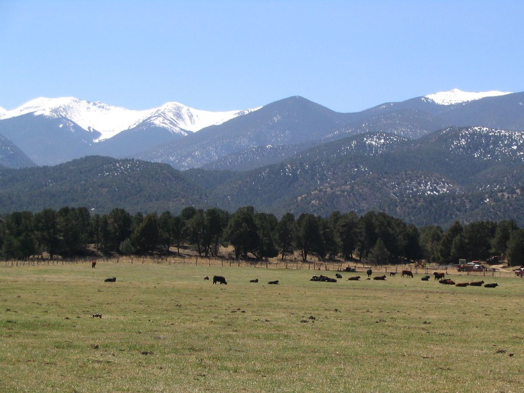
Jalapeno Trail is a short mountain biking route on Bureau of Land Management land in Colorado's Arkansas River Segment 2, about 0.26 miles long and sitting at roughly 7,170 feet. It's a low-elevation ride with no overall climb, and the trail's high point is 7,186 feet, just 13 feet above the start. The route is a quick connector between the Hatch Trail and the Poblano Trail, both of which lie about 0.1 mile away. The most comfortable months for a ride are typically late spring and early fall. Typical averages from a nearby weather station in Salida show May highs around 70°F and September highs around 77°F, while July and August run hotter, with highs in the mid-80s and more wet days. Riverside RV Park and Four Seasons RV Park are both within about 3 miles for an overnight stay. The South Arkansas River, about 9 miles away, offers paddling.
Local outfitters
- Four Seasons RV Park3 mi away
- Monarch Spur RV Park13 mi away
Not on Roamze yet. Their page has how to reach them.
- Hatch TrailMountain biking0.1 mi
- Poblano TrailMountain biking0.1 mi
- Burnpile TrailMountain biking0.1 mi
- Riverside RV ParkCamping2.2 mi
 Four Seasons RV ParkCampingPhoto: Ken Lund from Reno, Nevada, USA, CC BY-SA 2.0 (via Wikimedia Commons)2.8 mi
- SouthRock climbing7.2 mi
- Hecla Junction NorthRock climbing8.5 mi
 South Arkansas RiverCanoeingPhoto: Jeffrey Beall, CC BY 4.0 (via Wikimedia Commons)9 mi
Source: Roamze catalog (indexable pages within 10 miles, PostGIS distance)
- Hatch TrailMountain biking · Next door
- Salida Bike ParkMountain biking · ~1 min drive
- Poblano TrailMountain biking · Next door
- Burnpile TrailMountain biking · Next door
- Burnpile TrailMountain biking · Next door
- Sergeant Pepper TrailMountain biking · Next door
- Lower Rusty Lung TrailMountain biking · Next door
- Burn Pile TrailMountain biking · Next door
- Burn Pile TrailMountain biking · Next door
- Salida River TrailMountain biking · Next door
Best time to visit Jalapeno Trail
Best months: May–June and August–September. Best months have typical highs of 55–85 °F, lows of 30 °F or warmer (32 °F where the station doesn't record snow), at most one snowy day and no more than 12 wet days.
Jan
43° / 11°
2 wet
Feb
46° / 15°
2 wet
Mar
54° / 21°
4 wet
Apr
60° / 28°
5 wet
May
70° / 35°
5 wet
Jun
82° / 43°
5 wet
Jul
86° / 49°
8 wet
Aug
83° / 47°
10 wet
Sep
77° / 39°
6 wet
Oct
65° / 29°
4 wet
Nov
53° / 20°
3 wet
Dec
43° / 13°
3 wet
Typical high / low (°F) and days with rain or snow, 1991–2020. Measured at Salida, CO, 1.4 mi away at 7,160 ft. This station doesn't record snowfall. Source: NOAA NCEI U.S. Climate Normals 1991–2020.
Map and trail data © OpenStreetMap contributors
