milky way
- 0.3 mi
- distance
- 218 ft
- climb
- Difficult
- difficulty
Is milky way open right now?
Alert in the area
The Forest Service lists 6 alerts for White River National Forest.
FSR 286, Radical Hill, is closed due to washouts and unsafe conditions
Agency alert covering White River National Forest · USFS · White River National Forest
Limited parking at Snowmass Creek Trailhead
Agency alert covering White River National Forest · USFS · White River National Forest
Grizzly Creek Trail Closure
Agency alert covering White River National Forest · Order 2026-02 · USFS · White River National Forest
Ruedi Marina Day Use area Dump Station is CLOSED
Agency alert covering White River National Forest · USFS · White River National Forest
Asbestos safety closure - Camp Hale
Agency alert covering White River National Forest · USFS · White River National Forest
As of · Source: USFS · White River National Forest. Agencies don't list every closure — check before you go.
The Milky Way is a short mountain biking route in Colorado's White River National Forest, within the Dillon Ranger District. It is a short, low-elevation climb of about 0.3 miles, rising 218 feet from a low point of 11,369 feet to a high of 11,609 feet. The Forest Service manages the land. The route is a quick ride, and the climb is steepest at about 0.2 miles in, with a grade of 22 percent. The Motorhead and Cowboy Up trails sit within a quarter mile, so it pairs easily with other mountain biking in the area. Summer is the most comfortable time to ride. Typical averages from the nearby Climax weather station, at a similar elevation, show July highs around 67°F with lows near 40°F, while winter brings highs in the mid-20s and frequent snow days. Nearby, the Snake River offers canoeing about 1.5 miles away, and the Morning Glory Wall climbing area is about 1.9 miles off. Lowry Campground, about 4.7 miles away, is the closest place to camp.
Local outfitters
- Lostfork Basecamp17 mi away
- Rancho Del Rio42 mi away
Not on Roamze yet. Their page has how to reach them.
- motorheadMountain biking0.1 mi
- cowboy upMountain biking0.2 mi
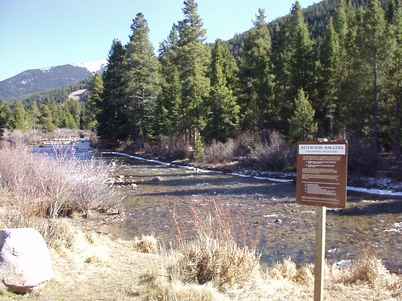 Snake RiverCanoeingPhoto: K.warterbeck, CC BY-SA 3.0 (via Wikimedia Commons)1.5 mi
- Morning Glory WallRock climbing1.9 mi
- Keystone a.k.a. MontezumaRock climbing1.9 mi
- Lowry CampgroundCamping4.7 mi
- Swan RiverCanoeing4.7 mi
- Prospector CampgroundCamping5.4 mi
Source: Roamze catalog (indexable pages within 10 miles, PostGIS distance)
 Landfill TrailMountain biking · ~6 min drivePhoto: KimonBerlin, CC BY-SA 2.0 (via Wikimedia Commons)
- motorheadMountain biking · Next door
- Mountain Bike Trail near Camp CreekMountain biking · Next door
- girl scoutsMountain biking · Next door
- eye of the tigerMountain biking · Next door
- suz's cruiseMountain biking · Next door
- holy rollerMountain biking · Next door
- let it rideMountain biking · ~1 min drive
- moneyMountain biking · ~1 min drive
- sanitariumMountain biking · ~2 min drive
Best time to visit milky way
No month here meets our mild-weather rule. Best months have typical highs of 55–85 °F, lows of 30 °F or warmer (32 °F where the station doesn't record snow), at most one snowy day and no more than 12 wet days.
Jan
27° / 3°
15 wet · 15 snow
Feb
29° / 3°
15 wet · 15 snow
Mar
35° / 8°
14 wet · 14 snow
Apr
40° / 15°
13 wet · 13 snow
May
49° / 25°
10 wet · 8 snow
Jun
61° / 34°
8 wet · 2 snow
Jul
67° / 40°
13 wet
Aug
64° / 39°
15 wet
Sep
58° / 32°
11 wet · 2 snow
Oct
47° / 21°
9 wet · 7 snow
Nov
35° / 11°
12 wet · 12 snow
Dec
27° / 3°
15 wet · 15 snow
Typical high / low (°F) and days with rain or snow, 1991–2020. Measured at Climax, CO, 20 mi away at 11,344 ft. Source: NOAA NCEI U.S. Climate Normals 1991–2020.

Map and trail data © OpenStreetMap contributors
