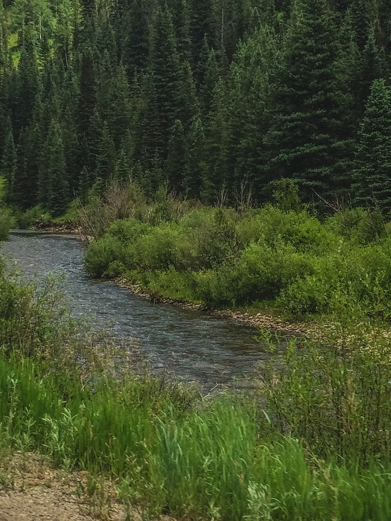
Blackhawk - Co.Trail
- 11.0 mi
- round trip
- 2,208 ft
- climb
- Out and back
- route
Blackhawk - Co.Trail is a 10.96-mile out-and-back route in Colorado managed by the Forest Service, gaining 2,208 feet of elevation.
 AltaMountain biking · ~21 min drivePhoto: Jeffrey Beall, CC BY 4.0 (via Wikimedia Commons)
- Magic MeadowsMountain biking · ~22 min drivePhoto: Jeffrey Beall, CC BY 4.0 (via Wikimedia Commons)
- Alta LakesMountain biking · ~22 min drivePhoto: Jeffrey Beall, CC BY 4.0 (via Wikimedia Commons)
 East Fork Bear CreekMountain biking · ~24 min drivePhoto: Miles Buddy, CC BY-SA 3.0 (via Wikimedia Commons)
- WasatchMountain biking · ~24 min drivePhoto: Miles Buddy, CC BY-SA 3.0 (via Wikimedia Commons)
 Lewis MineMountain biking · ~24 min drivePhoto: John Fowler from Placitas, NM, USA, CC BY 2.0 (via Wikimedia Commons)
- BlixtMountain biking · ~21 min drivePhoto: John Fowler from Placitas, NM, USA, CC BY 2.0 (via Wikimedia Commons)
- CircleMountain biking · ~7 min drive
- West CrossMountain biking · ~10 min drive
- CutthroatMountain biking · ~12 min drive
Best time to visit Blackhawk - Co.Trail
No month here meets our mild-weather rule. Best months have typical highs of 55–85 °F, lows of 30 °F or warmer (32 °F where the station doesn't record snow), at most one snowy day and no more than 12 wet days.
Jan
34° / -6°
9 wet
Feb
36° / -3°
9 wet
Mar
43° / 6°
10 wet
Apr
48° / 17°
9 wet
May
58° / 25°
9 wet
Jun
70° / 31°
7 wet
Jul
75° / 38°
13 wet
Aug
72° / 37°
15 wet
Sep
66° / 30°
12 wet
Oct
55° / 20°
9 wet
Nov
43° / 7°
8 wet
Dec
34° / -5°
9 wet
Typical high / low (°F) and days with rain or snow, 1991–2020. Measured at Silverton, CO, 15.4 mi away at 9,285 ft. We don't have this place's elevation, so higher spots nearby can run cooler. This station doesn't record snowfall. Source: NOAA NCEI U.S. Climate Normals 1991–2020.