Youngs Peak Trail
- 0.5 mi
- round trip
- 905 ft
- climb
- 7,335 ft
- high point
- Out and back
- route
- May–Oct
- best months
Youngs Peak Trail is a short out-and-back hike on Bureau of Land Management land within the Uncompahgre Field Office in Colorado, about half a mile from its starting point. The route rises from 6,886 feet to 7,335 feet, a total gain of 905 feet over about a mile, with the steepest stretch at roughly 0.28 miles in. The climb is front-loaded, and the trail is rated easy, making it a straightforward outing for a day on the trail. Summer and early fall are the most comfortable times to go. Typical averages from a nearby weather station show July highs around 82°F and September highs around 72°F with lows in the mid-40s. That station sits about 800 feet lower than the high point, so temperatures up top run cooler. The hike takes about an hour. Nearby, East Shore Trail lies 1.5 miles away and Indian Fire Nature Trail 2 miles off. For camping, Clear Fork Campground and Iron Creek Campground are both about 2 miles from the trail.
Local outfitters
- Cedar Creek RV Park and Lodging21 mi away
- Peak Mountain Guides47 mi away
Not on Roamze yet. Their page has how to reach them.
Conditions and forecast on Youngs Peak
Daily highs and lows, wind and the chance of precipitation at the summit and route start for the next 7 days, from the Open-Meteo model.
- East Shore TrailHiking1.5 mi
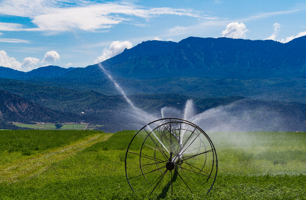 Indian Fire Nature TrailHikingPhoto: Tony Webster, CC BY 2.0 (via Flickr)2 mi
- Clear Fork CampgroundCamping2 mi
- Iron Creek CampgroundCamping2.4 mi
- West Shore TrailHikingPhoto: Tony Webster, CC BY 2.0 (via Flickr)2.5 mi
- Iron Creek Campground TrailHiking2.5 mi
 Smith ForkCanoeingPhoto: Jeffrey Beall, CC BY 3.0 (via Wikimedia Commons)3.1 mi
- Needle Rock TrailHiking3.3 mi
Source: Roamze catalog (indexable pages within 10 miles, PostGIS distance)
- Indian Fire Nature TrailHiking · ~3 min drivePhoto: Tony Webster, CC BY 2.0 (via Flickr)
 Trail 860AHiking · ~14 min drivePhoto: Blake Patterson from Alexandria, VA, USA, CC BY 2.0 (via Wikimedia Commons)
- Balanced Rock OverlookHiking · ~18 min drive
- Deep Creek TrailHiking · ~12 min drive
- Sink CreekHiking · ~16 min drive
- West Shore TrailHiking · ~4 min drivePhoto: Tony Webster, CC BY 2.0 (via Flickr)
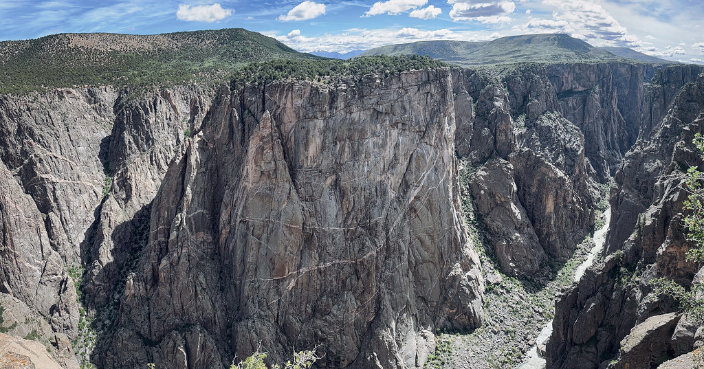 North Vista TrailHiking · ~17 min drivePhoto: joannapoe, CC BY-SA 2.0 (via Flickr)
- Big Island OverlookHiking · ~18 min drive
- PiburnHiking · ~13 min drive
 Dead Horse TrailHiking · ~18 min drivePhoto: Greg Willis from Denver, CO, usa, CC BY-SA 2.0 (via Wikimedia Commons)
Also worth it near here
 Youngs PeakSummit · Next doorPhoto: Jeffrey Beall, CC BY 3.0 (via Wikimedia Commons)
- Crawford ReservoirLake fishing · ~3 min drive
- Smith ForkCanoeing · ~5 min drivePhoto: Jeffrey Beall, CC BY 3.0 (via Wikimedia Commons)
 The Checkerboard WallRock climbing · ~18 min drivePhoto: SymphonicPoet, CC BY 2.0 (via Flickr)
Best time to visit Youngs Peak Trail
Best months: May–October. Best months have typical highs of 55–85 °F, lows of 30 °F or warmer (32 °F where the station doesn't record snow), at most one snowy day and no more than 12 wet days.
Jan
37° / 13°
Feb
40° / 16°
Mar
49° / 23°
Apr
56° / 29°
May
66° / 38°
Jun
76° / 46°
Jul
82° / 53°
Aug
81° / 52°
Sep
72° / 44°
Oct
60° / 33°
Nov
47° / 23°
Dec
36° / 13°
Typical high / low (°F) and days with rain or snow, 1991–2020. Measured at Black Canyon Of The Gunnison, CO, 11.6 mi away at 8,151 ft. The station sits about 800 ft higher than this place, so expect it a little warmer here. This station doesn't record snowfall. Source: NOAA NCEI U.S. Climate Normals 1991–2020.
Route details
- Distance
- 0.5 mi round trip
- Climbing
- About 905 ft
- Summit
- 7,426 ft
- Difficulty
- Easy
- Time
- About 0.5 hours
Questions about this route
How long is the Youngs Peak Trail on Youngs Peak?
About 0.5 mi round trip.
How much elevation gain is on the Youngs Peak Trail?
About 905 ft of climbing round trip.
How hard is the Youngs Peak Trail?
It is rated easy.
How long does the Youngs Peak Trail take?
About 0.5 hours round trip.
Map and trail data © OpenStreetMap contributors
