East Shore Trail
- 0.8 mi
- round trip
- 165 ft
- climb
- 6,582 ft
- high point
- Out and back
- route
- May–Jun, Aug–Sep
- best months
East Shore Trail is an easy, out-and-back hike in Crawford State Park in Colorado, about 0.8 miles long and roughly 1.7 miles round trip. The trail gains about 79 feet in one direction, with a total elevation change of 165 feet, and the high point sits at 6,582 feet. The climb is steady, and the steepest stretch comes early at about 0.17 miles in, where the grade reaches about 4%. The most comfortable months for a visit are typically late spring and early fall. A nearby weather station in Cimarron, Colorado, records typical average highs around 70°F in May and 76°F in September, while July averages about 86°F. The trail makes a good pairing with other park stops. Clear Fork Campground is about half a mile away, and Indian Fire Nature Trail is under a mile off. West Shore Trail is about 1.1 miles away, and Iron Creek Campground, about 0.9 miles away, offers another camping option.
Local outfitters
- Cedar Creek RV Park and Lodging20 mi away
- Peak Mountain Guides46 mi away
Not on Roamze yet. Their page has how to reach them.
- Clear Fork CampgroundCamping0.5 mi
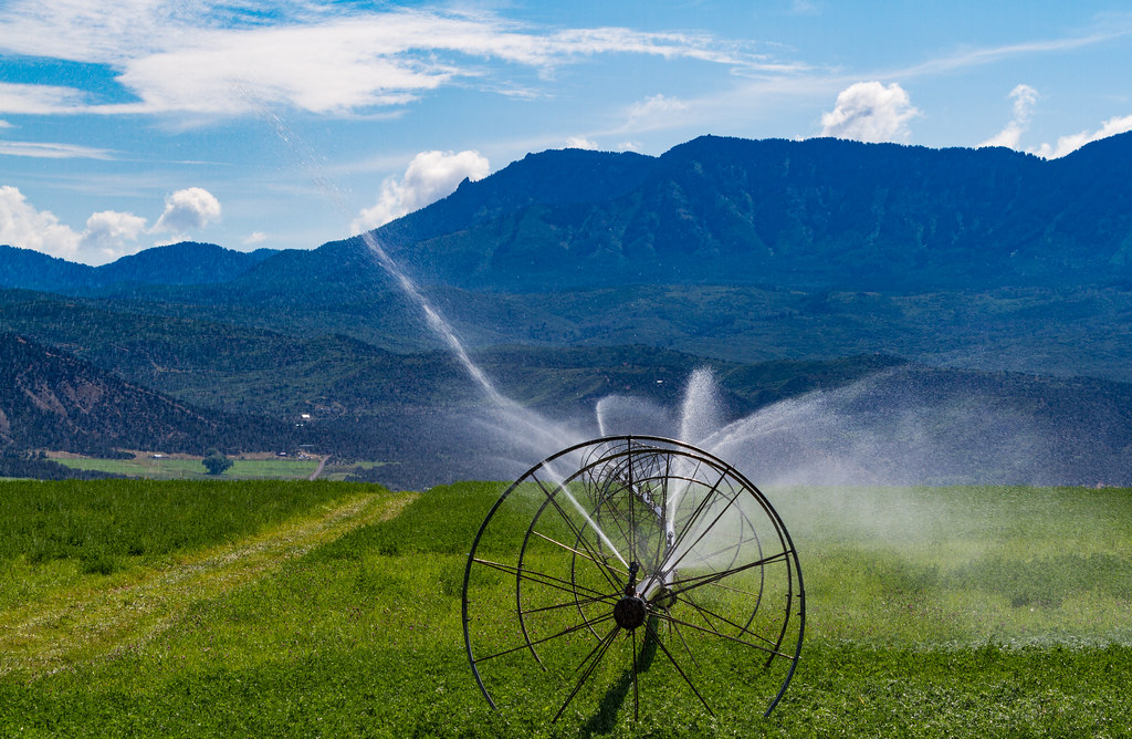 Indian Fire Nature TrailHikingPhoto: Tony Webster, CC BY 2.0 (via Flickr)0.7 mi
- Iron Creek CampgroundCamping0.9 mi
- Iron Creek Campground TrailHiking1 mi
- West Shore TrailHikingPhoto: Tony Webster, CC BY 2.0 (via Flickr)1.1 mi
 Smith ForkCanoeingPhoto: Jeffrey Beall, CC BY 3.0 (via Wikimedia Commons)3.9 mi
 The Checkerboard WallRock climbingPhoto: SymphonicPoet, CC BY 2.0 (via Flickr)9.3 mi
 Prisoner of Your Hairdo GullyRock climbingPhoto: daveynin, CC BY 2.0 (via Flickr)9.4 mi
Source: Roamze catalog (indexable pages within 10 miles, PostGIS distance)
- Indian Fire Nature TrailHiking · ~1 min drivePhoto: Tony Webster, CC BY 2.0 (via Flickr)
 Trail 860AHiking · ~14 min drivePhoto: Blake Patterson from Alexandria, VA, USA, CC BY 2.0 (via Wikimedia Commons)
- Balanced Rock OverlookHiking · ~16 min drive
- Deep Creek TrailHiking · ~10 min drive
- Sink CreekHiking · ~15 min drive
- West Shore TrailHiking · ~2 min drivePhoto: Tony Webster, CC BY 2.0 (via Flickr)
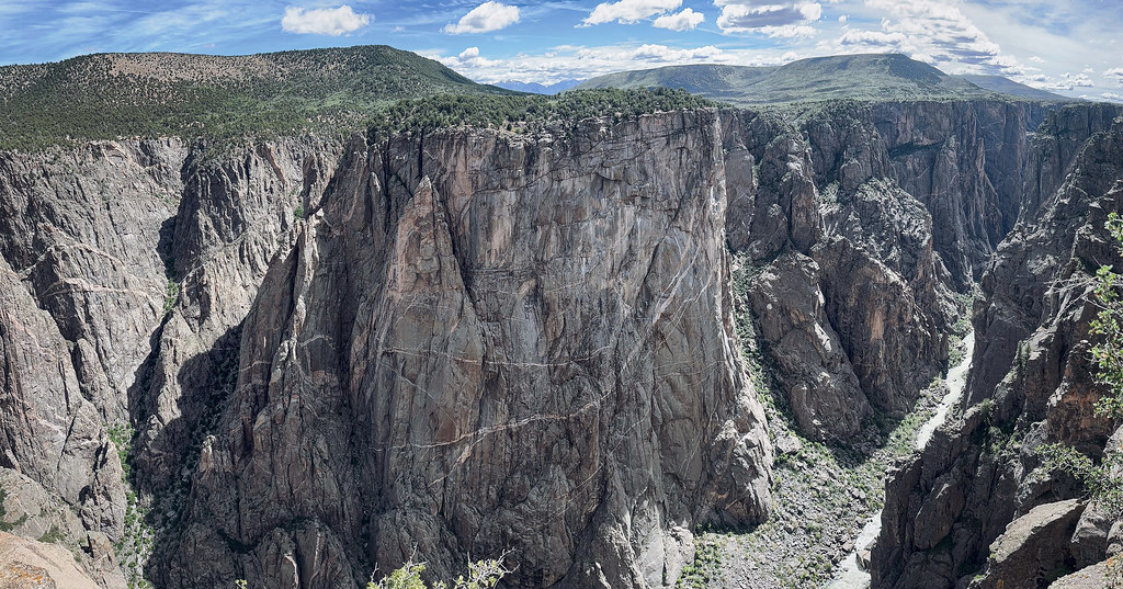 North Vista TrailHiking · ~16 min drivePhoto: joannapoe, CC BY-SA 2.0 (via Flickr)
- Big Island OverlookHiking · ~16 min drive
- PiburnHiking · ~12 min drive
 Dead Horse TrailHiking · ~16 min drivePhoto: Greg Willis from Denver, CO, usa, CC BY-SA 2.0 (via Wikimedia Commons)
Also worth it near here
- Crawford ReservoirLake fishing · Next door
 Youngs PeakSummit · ~3 min drivePhoto: Jeffrey Beall, CC BY 3.0 (via Wikimedia Commons)
- Smith ForkCanoeing · ~7 min drivePhoto: Jeffrey Beall, CC BY 3.0 (via Wikimedia Commons)
- The Checkerboard WallRock climbing · ~16 min drivePhoto: SymphonicPoet, CC BY 2.0 (via Flickr)
Best time to visit East Shore Trail
Best months: May–June and August–September. Best months have typical highs of 55–85 °F, lows of 30 °F or warmer (32 °F where the station doesn't record snow), at most one snowy day and no more than 12 wet days.
Jan
35° / 3°
7 wet
Feb
40° / 10°
7 wet
Mar
51° / 19°
7 wet
Apr
60° / 26°
7 wet
May
70° / 32°
6 wet
Jun
81° / 37°
4 wet
Jul
86° / 45°
6 wet
Aug
83° / 45°
8 wet
Sep
76° / 37°
7 wet
Oct
64° / 26°
6 wet
Nov
49° / 16°
6 wet
Dec
36° / 6°
7 wet
Typical high / low (°F) and days with rain or snow, 1991–2020. Measured at Cimarron, CO, 16.9 mi away at 6,890 ft. This station doesn't record snowfall. Source: NOAA NCEI U.S. Climate Normals 1991–2020.
Map and trail data © OpenStreetMap contributors
