Yampa River Core Trail
- 0.4 mi
- round trip
- 23 ft
- climb
- 6,692 ft
- high point
- Out and back
- route
- May–Sep
- best months
The Yampa River Core Trail is a short, easy walk in Colorado, set within the Spree-Union Pacific / Yampa River System Legacy on city land. The route is an out-and-back of about 0.8 miles, with a total climb of 23 feet, so it's a flat, low-effort outing that can be done in about half an hour. Summer is the most comfortable time to go. Typical averages from a nearby weather station in Steamboat Springs show July highs around 83°F with lows near 46°F, while winter highs stay in the 20s and 30s. The trail sits close to several other outings. The Gas Line Trail and the Lower NPR Trail are each about 0.4 miles away, and the Butcher Knife climbing area is about 1.2 miles off. For an overnight stay, Steamboat Springs KOA is about 2.1 miles away.
Local outfitters
- Rancho Del Rio43 mi away
Not on Roamze yet. Their page has how to reach them.
- Gas Line TrailHiking0.4 mi
- Lower NPR TrailHiking0.4 mi
- Butcher KnifeRock climbing1.2 mi
- Steamboat Springs KOACamping2.1 mi
- Steamboat SpringsRock climbing2.3 mi
- Soda CreekCanoeing4.2 mi
- Dry Lake CampgroundCamping4.5 mi
- Walton CreekCanoeing7.8 mi
Source: Roamze catalog (indexable pages within 10 miles, PostGIS distance)
 Lower Fish Creek TrailHiking · ~2 min drivePhoto: supercraigtalbert, CC BY 2.0 (via Flickr)
- Ricky's RidgeHiking · ~2 min drivePhoto: supercraigtalbert, CC BY 2.0 (via Flickr)
- Ridge TrailHiking · ~4 min drive
 Butcherknife TrailHiking · ~2 min drivePhoto: bjwhite66212, CC BY-SA 2.0 (via Flickr)
 Lupine TrailHiking · ~2 min drivePhoto: supercraigtalbert, CC BY 2.0 (via Flickr)
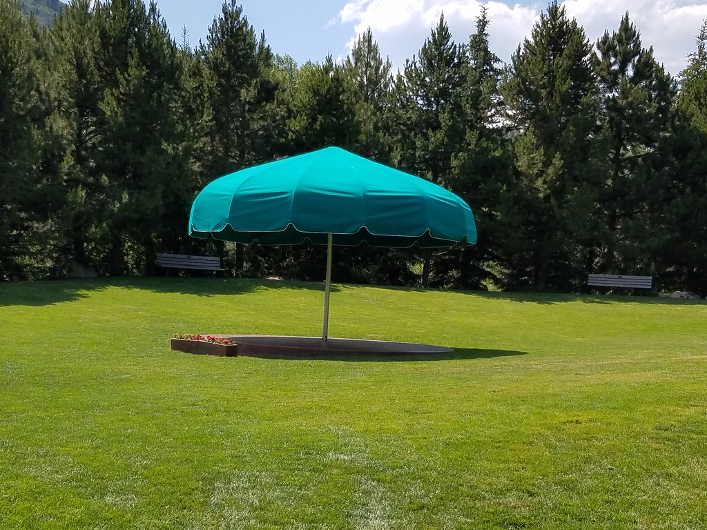 Bluffs LoopHiking · ~2 min drivePhoto: supercraigtalbert, CC BY 2.0 (via Flickr)
 Bluffs Loop TrailHiking · ~2 min drivePhoto: Ranugad, CC BY-SA 4.0 (via Wikimedia Commons)
 Yampa River Core TrailHiking · ~2 min drivePhoto: supercraigtalbert, CC BY 2.0 (via Flickr)
- Morning Gloria TrailHiking · ~2 min drivePhoto: supercraigtalbert, CC BY 2.0 (via Flickr)
- Larry's TrailHiking · ~2 min drivePhoto: supercraigtalbert, CC BY 2.0 (via Flickr)
Best time to visit Yampa River Core Trail
Best months: May–September. Best months have typical highs of 55–85 °F, lows of 30 °F or warmer (32 °F where the station doesn't record snow), at most one snowy day and no more than 12 wet days.
Jan
29° / 5°
14 wet
Feb
34° / 8°
13 wet
Mar
45° / 18°
11 wet
Apr
54° / 27°
12 wet
May
65° / 34°
12 wet
Jun
76° / 39°
9 wet
Jul
83° / 46°
9 wet
Aug
82° / 44°
11 wet
Sep
74° / 36°
10 wet
Oct
59° / 26°
9 wet
Nov
43° / 16°
11 wet
Dec
30° / 6°
14 wet
Typical high / low (°F) and days with rain or snow, 1991–2020. Measured at Steamboat Springs, CO, 1 mi away at 6,866 ft. This station doesn't record snowfall. Source: NOAA NCEI U.S. Climate Normals 1991–2020.

Map and trail data © OpenStreetMap contributors
