Frisco Area
Campground
Campground · 7.3 mi from the trail
Alert in the area
The Forest Service lists 6 alerts for White River National Forest.
FSR 286, Radical Hill, is closed due to washouts and unsafe conditions
Agency alert covering White River National Forest · USFS · White River National Forest
Limited parking at Snowmass Creek Trailhead
Agency alert covering White River National Forest · USFS · White River National Forest
Grizzly Creek Trail Closure
Agency alert covering White River National Forest · Order 2026-02 · USFS · White River National Forest
Ruedi Marina Day Use area Dump Station is CLOSED
Agency alert covering White River National Forest · USFS · White River National Forest
Asbestos safety closure - Camp Hale
Agency alert covering White River National Forest · USFS · White River National Forest
As of · Source: USFS · White River National Forest. Agencies don't list every closure — check before you go.
Wilder Gulch is an easy out-and-back hike in the Dillon Ranger District of Colorado's White River National Forest, about 5 miles long with an elevation gain of about 690 feet. It starts at roughly 10,400 feet and climbs to about 11,281 feet at the high point. Summer is the most comfortable time to go. Typical averages from the nearby Climax weather station, at a similar elevation, show July highs around 67°F and lows near 40°F, with no snow days. Winter there brings highs in the upper 20s and frequent snow days. The trail is a natural-surface route that allows both horses and bikes. It is open year-round. Corral Creek and Wilder Gulch Connect are both within a mile, and Wheeler Lakes (Gore Range #60) and Officer's Gulch West lie a few miles farther.
Frisco Area
Campground
Sawmill Pizza and Taphouse
Restaurant
 If it rainsPlazak, CC BY 3.0 · Wikimedia Commons
Matchless Mine
Attraction
Places © OpenStreetMap contributors · Photos: Plazak, CC BY 3.0 (commons)
More in Leadville Wilder Gulch ConnectHikingPhoto: KimonBerlin, CC BY-SA 2.0 (via Flickr)0.6 mi
 Tenmile CreekCanoeingPhoto: Jeffrey Beall, CC BY 3.0 (via Wikimedia Commons)4.3 mi
 Gore Creek CampgroundCampingPhoto: KimonBerlin — CC BY-SA 2.0 (via Flickr)8.1 mi
Source: Roamze catalog (indexable pages within 10 miles, PostGIS distance)
Wilder Gulch ConnectHiking · Next doorPhoto: KimonBerlin, CC BY-SA 2.0 (via Flickr)Corral Creek TrailHiking · ~1 min drivePhoto: KimonBerlin, CC BY-SA 2.0 (via Flickr)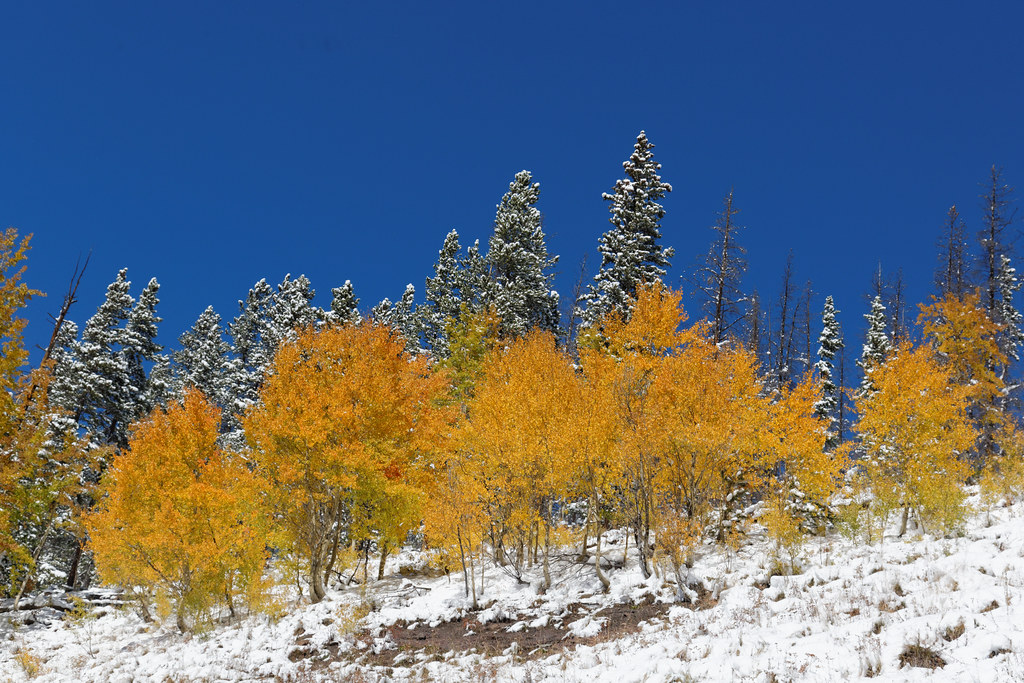 Bowman's ShortcutHiking · ~7 min drivePhoto: KimonBerlin, CC BY-SA 2.0 (via Flickr)
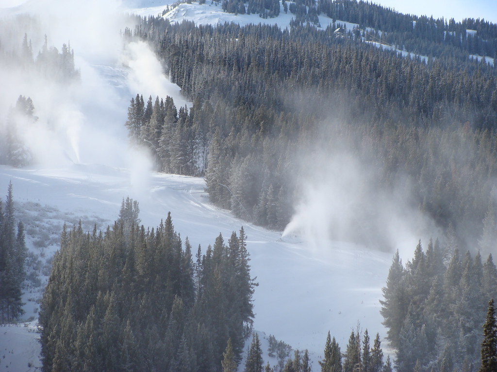 Wheeler LakesHiking · ~4 min drivePhoto: iagoarchangel, CC BY-SA 2.0 (via Flickr)
 Wearyman Spur 3Hiking · ~7 min drivePhoto: Moo.The.Cow, CC BY 2.0 (via Flickr)
 Trail near Shrine PassHiking · ~6 min drivePhoto: KimonBerlin, CC BY-SA 2.0 (via Flickr)
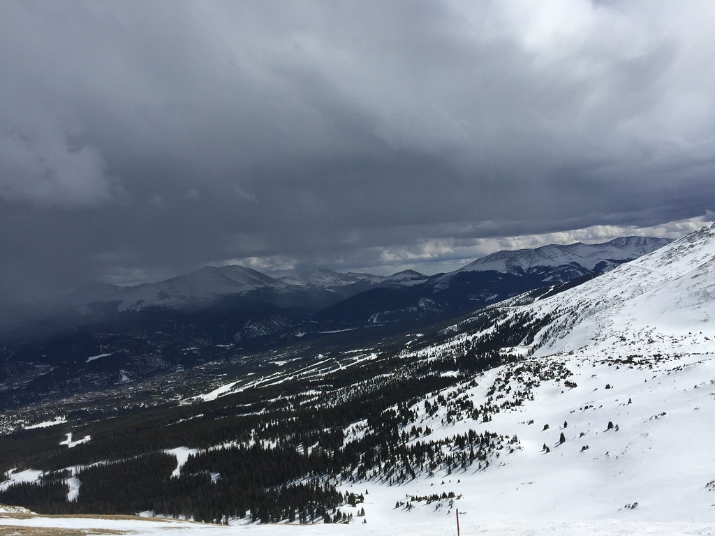 Miner's Creek - Peak 6Hiking · ~10 min drivePhoto: zappowbang, CC BY-SA 2.0 (via Flickr)
 Scenic Overlook Spur TrailHiking · ~6 min drivePhoto: gregor_y, CC BY-SA 2.0 (via Flickr)
Also worth it near here
 Wheeler Lakes TrailCross-country skiing · ~4 min drivePhoto: Michael Barera, CC BY-SA 4.0 (via Wikimedia Commons)
 Scenic Overlook SpurMountain biking · ~6 min drivePhoto: Michael Barera, CC BY-SA 4.0 (via Wikimedia Commons)
No month here meets our mild-weather rule. Best months have typical highs of 55–85 °F, lows of 30 °F or warmer (32 °F where the station doesn't record snow), at most one snowy day and no more than 12 wet days.
Jan
27° / 3°
15 wet · 15 snow
Feb
29° / 3°
15 wet · 15 snow
Mar
35° / 8°
14 wet · 14 snow
Apr
40° / 15°
13 wet · 13 snow
May
49° / 25°
10 wet · 8 snow
Jun
61° / 34°
8 wet · 2 snow
Jul
67° / 40°
13 wet
Aug
64° / 39°
15 wet
Sep
58° / 32°
11 wet · 2 snow
Oct
47° / 21°
9 wet · 7 snow
Nov
35° / 11°
12 wet · 12 snow
Dec
27° / 3°
15 wet · 15 snow
Typical high / low (°F) and days with rain or snow, 1991–2020. Measured at Climax, CO, 10.6 mi away at 11,344 ft. Source: NOAA NCEI U.S. Climate Normals 1991–2020.
I-70: Vail Pass closed
closed Nov 4, 2026 → reopened Nov 4, 2026 · State DOT
I-70: Vail Pass closed
closed Oct 30, 2026 → reopened Oct 30, 2026 · State DOT
