The Camp
Campground
Campground · 1.9 mi from the trail
Water Tank Trails is a 6-mile out-and-back hike in Colorado, about a mile from the town of Redlands. The route rises from a low point of 4,722 feet to a high of 4,966 feet, with a total elevation gain of 529 feet. The steepest stretch comes at about 1.5 miles in, where the grade reaches 20 percent. The most comfortable months for a visit are typically May and September. At a nearby weather station in Grand Junction, May averages highs around 77°F and September around 82°F, while July highs average about 95°F. The trail sits close to a cluster of mountain biking routes, including the Buckaroo Bonzai or Sanrasfix Corridor and The Stuff, both within a quarter mile. Climbers can find The Stock Exchange Boulder and Wall Street about a mile away. Canyon View RV Park, roughly 3 miles off, offers camping.
The Camp
Campground
 If it rainsJeffrey Beall, CC BY-SA 3.0 · Wikimedia Commons
Places © OpenStreetMap contributors, Places © Overture Maps Foundation · Photos: Jeffrey Beall, CC BY-SA 3.0 (commons)
More in CliftonNot on Roamze yet. Their page has how to reach them.
 Canyon View RV ParkCampingPhoto: Milonica, CC BY-SA 3.0 (via Wikimedia Commons)3.1 mi
Source: Roamze catalog (indexable pages within 10 miles, PostGIS distance)
 Kingfisher TrailHiking · ~2 min drivePhoto: foto3116, CC BY 2.0 (via Flickr)Connected Lakes TrailHiking · ~2 min drivePhoto: foto3116 — CC BY 2.0 (via Flickr)Bluffs TrailHiking · ~2 min drivePhoto: foto3116, CC BY 2.0 (via Flickr)
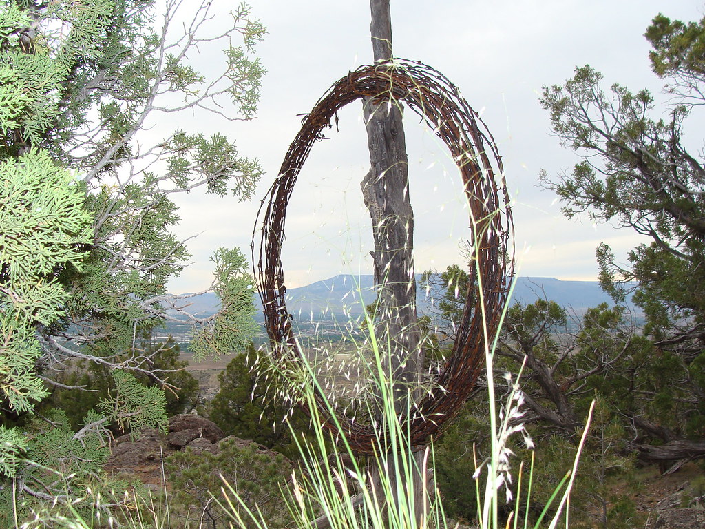 Corkscrew TrailHiking · ~4 min drivePhoto: iagoarchangel, CC BY-SA 2.0 (via Flickr)Waterfowl Loop TrailHiking · ~2 min drivePhoto: foto3116, CC BY 2.0 (via Flickr)
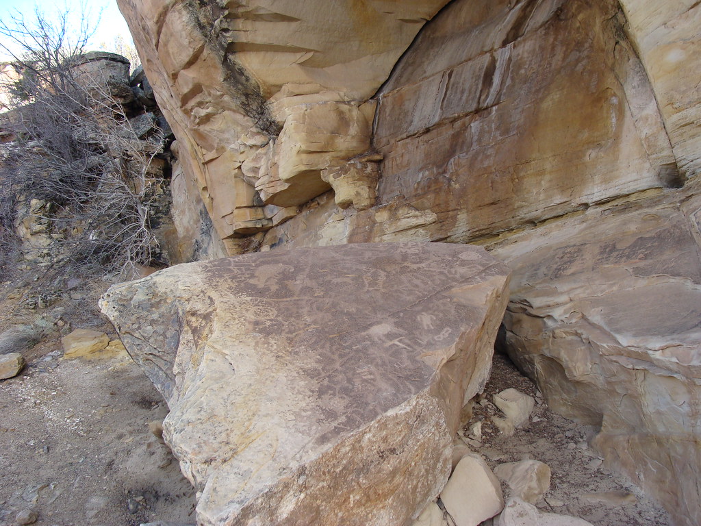 Eagle's Connector TrailHiking · ~5 min drivePhoto: iagoarchangel, CC BY-SA 2.0 (via Flickr)
 Wildwood DriveHiking · ~3 min drivePhoto: iagoarchangel, CC BY-SA 2.0 (via Flickr)
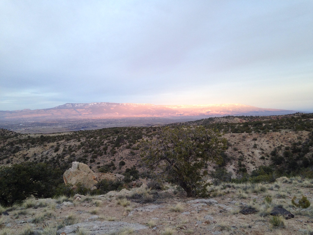 Holy Cross TrailHiking · ~5 min drivePhoto: iagoarchangel, CC BY-SA 2.0 (via Flickr)South BroadwayHiking · ~3 min drivePhoto: iagoarchangel, CC BY-SA 2.0 (via Flickr)
 Serpents TrailHiking · ~5 min drivePhoto: iagoarchangel, CC BY-SA 2.0 (via Flickr)
Best months: March–May and September–October. Best months have typical highs of 55–85 °F, lows of 30 °F or warmer (32 °F where the station doesn't record snow), at most one snowy day and no more than 12 wet days.
Jan
38° / 17°
6 wet
Feb
46° / 24°
6 wet
Mar
58° / 32°
7 wet
Apr
66° / 38°
7 wet
May
77° / 47°
6 wet
Jun
89° / 57°
4 wet
Jul
95° / 64°
5 wet
Aug
91° / 62°
6 wet
Sep
82° / 52°
7 wet
Oct
67° / 40°
6 wet
Nov
52° / 27°
6 wet
Dec
39° / 18°
6 wet
Typical high / low (°F) and days with rain or snow, 1991–2020. Measured at Grand Junction Walker Fld, CO, 6.4 mi away at 4,858 ft. This station doesn't record snowfall. Source: NOAA NCEI U.S. Climate Normals 1991–2020.
Map and trail data © OpenStreetMap contributors


