Varisty Ext Loop
- 1.1 mi
- distance
- 200 ft
- climb
- Easy
- difficulty
Caution at last check
Weather is marginal · OpenWeather · checked 16 h ago
Varisty Ext Loop is an easy hike of about a mile on Bureau of Land Management land in the Colorado River Valley Field Office in Colorado. The route gains about 200 feet in elevation, and it can be done in roughly half an hour, so it works well as a short stop on a longer day on the field office's trails. Summer is the most comfortable time to go. Typical averages from a nearby weather station in Meredith show July highs around 81°F with lows near 40°F. Winter there is cold, with January highs around 34°F and lows near 4°F. Mountain biking is close by, with the Pool & Ice Rink and Haymaker trails about half a mile away. Paddlers can reach Brush Creek, about 2.3 miles off, and climbers will find Wolcott Crags and Boulders about 6.7 miles from the loop.
Go with a guide
- Mineral Belt Trail Guided WalkNexPM AI · $25 per person · 38 mi away
- Rancho Del Rio20 mi away
- Pool & Ice RinkMountain biking0.5 mi
 HaymakerMountain bikingPhoto: Ej Lowell, CC BY-SA 3.0 (via Wikimedia Commons)0.6 mi
- Brush CreekCanoeing2.3 mi
- Milk Creek (aka Wolcott Entrada Band - East)Rock climbing6.7 mi
- Wolcott Crags and BouldersRock climbing6.7 mi
- Wolcott CampgroundCamping7.1 mi
- Gypsum CreekCanoeing9 mi
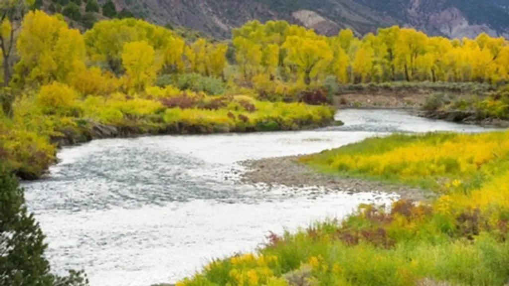 Gypsum CampgroundCampingPhoto: Recreation.gov (RIDB) / public domain9.9 mi
Source: Roamze catalog (indexable pages within 10 miles, PostGIS distance)
 Old Fulford Trail No 419Hiking · ~15 min drivePhoto: Melissa Johnson — CC BY 2.0 (via Flickr)
- Salt CreekHiking · ~12 min drive
- Colorow CreekHiking · ~13 min drive
- Yates GulchHiking · ~18 min drive
- Redneck RidgeHiking · ~2 min drive
- Stag GulchHiking · ~12 min drive
- Mckenzie GulchHiking · ~16 min drive
- Redneck RidgeHiking · ~3 min drive
- Berry CreekHiking · ~19 min drive
- SundellHiking · ~18 min drive
Map and trail data © OpenStreetMap contributors
