Lodgepole
Campground
Campground · 1.3 mi from the trail
 Photo: Andrew Parlette — CC BY 2.0 (via Flickr)
Closure in the area
There's a closure order in Rocky Mountain National Park. It doesn't name Valley Trail, so check the source for the area it covers.
Trail Ridge Road is Closed to Through Travel for the Season
Park closure covering Rocky Mountain National Park · NPS · Rocky Mountain National Park
As of · Source: NPS · Rocky Mountain National Park. Agencies don't list every closure — check before you go.
Valley Trail is an easy hike of about 2 miles in Rocky Mountain National Park, within the Rocky Mountain National Park Wilderness. The National Park Service manages the land, and the trail sits inside the park's wilderness boundary, so it is a short outing in a protected setting. The trail gains about 400 feet in elevation over its length, and it takes roughly an hour to complete. The climb is gentle, and the route is straightforward for anyone looking for a short walk in the park. Summer is the most comfortable time to go. Typical averages from a nearby weather station at Grand Lake show July highs around 76°F with lows near 40°F, while winter brings frequent snow days and highs around 30°F. Harbison Meadows lies just 0.1 mile away, and the Valley and Colorado River Trail is about half a mile off. For an overnight stay, Bull Mountain Campground is roughly 4.8 miles away, and the Colorado River offers paddling about 3.7 miles from the trail.
Lodgepole
Campground
Places © OpenStreetMap contributors, Places © Overture Maps Foundation
More in Estes ParkNot on Roamze yet. Their page has how to reach them.
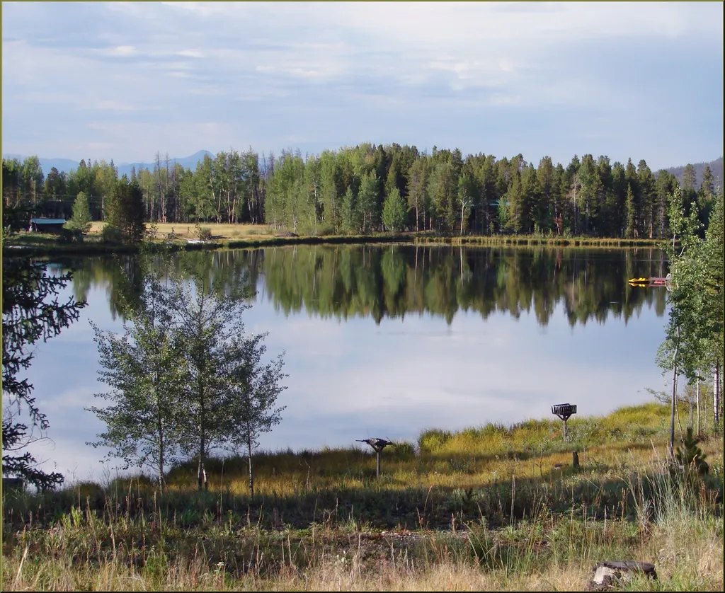 Harbison MeadowsHikingPhoto: inkknife_2000 (7.5 million views +) — Wikimedia Commons (CC BY-SA 2.0)0.1 mi
 NotchtopRock climbingPhoto: AER Wilmington DE, CC BY 2.0 (via Flickr)8.1 mi
Source: Roamze catalog (indexable pages within 10 miles, PostGIS distance)
 River TrailHiking · ~1 min drivePhoto: inkknife_2000 (7.5 million views +), CC BY-SA 2.0 (via Wikimedia Commons)
 East Inlet TrailHiking · ~6 min drivePhoto: inkknife_2000 (7.5 million views +), CC BY-SA 2.0 (via Wikimedia Commons)Isolation PeakHiking · ~6 min drivePhoto: inkknife_2000 (7.5 million views +), CC BY-SA 2.0 (via Wikimedia Commons)
 Blizzard Pass TrailHiking · ~6 min drivePhoto: Thomas — CC BY-SA 2.0 (via Flickr)
 Old Entrance Livery TrailsHiking · ~2 min drivePhoto: inkknife_2000 (14 million views), CC BY-SA 2.0 (via Flickr)Shadow Mountain Lookout trailHiking · ~7 min drivePhoto: Thomas — CC BY-SA 2.0 (via Flickr)
Best months: June and September. Best months have typical highs of 55–85 °F, lows of 30 °F or warmer (32 °F where the station doesn't record snow), at most one snowy day and no more than 12 wet days.
Jan
30° / 4°
14 wet · 14 snow
Feb
34° / 6°
13 wet · 12 snow
Mar
42° / 14°
12 wet · 9 snow
Apr
49° / 20°
11 wet · 6 snow
May
59° / 28°
12 wet · 2 snow
Jun
71° / 34°
11 wet
Jul
76° / 40°
14 wet
Aug
73° / 38°
15 wet
Sep
68° / 32°
12 wet · 1 snow
Oct
55° / 23°
10 wet · 4 snow
Nov
40° / 13°
11 wet · 9 snow
Dec
30° / 5°
14 wet · 13 snow
Typical high / low (°F) and days with rain or snow, 1991–2020. Measured at Grand Lake 1 Nw, CO, 1.1 mi away at 8,720 ft. We don't have this place's elevation, so higher spots nearby can run cooler. Source: NOAA NCEI U.S. Climate Normals 1991–2020.
Map and trail data © OpenStreetMap contributors

