Town Trail
- 0.9 mi
- round trip
- 128 ft
- climb
- 6,532 ft
- high point
- Out and back
- route
- May–Oct
- best months
Town Trail is an easy hike in Colorado, about 0.86 miles long, with an elevation gain of 109 feet on a one-way trip. It is an out-and-back route that starts and ends at roughly 6,442 feet, reaching a high point of about 6,532 feet. The trail has a total gain and loss of about 128 feet each way, and the steepest stretch comes around 0.77 miles in at a 7% grade. The trail sits just 0.2 miles from the town of Elizabeth, making it a quick outing for anyone already in town. The route is short, so plan on about half an hour to complete it. Summer is the most comfortable time to go. Typical averages from a nearby weather station in Elizabeth run to highs around 80°F in June and 85°F in July, with September easing back to about 76°F. Winter is cold, with January highs near 43°F and lows around 18°F. Casey's RV Hideaway campground is about half a mile away. Farther out, East Canyon Trail, the Inner Canyon area climbing area and Canyon View Nature Trail all lie within about 8 miles.
Local outfitters
- Broadmoor Outfitters42 mi away
Not on Roamze yet. Their page has how to reach them.
- Casey's RV HideawayCamping0.5 mi
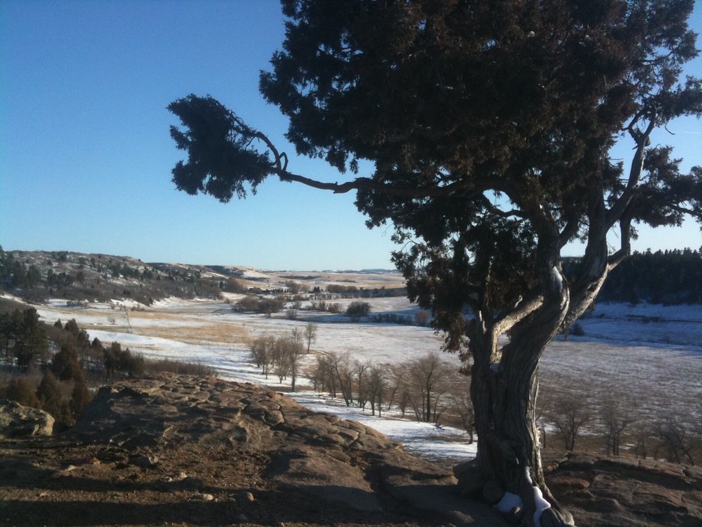 East Canyon TrailHikingPhoto: indigoprime, CC BY-SA 2.0 (via Flickr)7.5 mi
- Inner Canyon areaRock climbing7.9 mi
 Canyon View Nature TrailHikingPhoto: Shogun_X, CC BY-SA 2.0 (via Flickr)7.9 mi
- The Gathering (Snowstorm Boulder)Rock climbing8 mi
- The Terminal AreaRock climbingPhoto: Shogun_X, CC BY-SA 2.0 (via Flickr)8 mi
- Realm of the Venusian Love GoddessRock climbingPhoto: Shogun_X, CC BY-SA 2.0 (via Flickr)8 mi
- Lake Gulch TrailHikingPhoto: Shogun_X, CC BY-SA 2.0 (via Flickr)8.4 mi
Source: Roamze catalog (indexable pages within 10 miles, PostGIS distance)
- East Canyon TrailHiking · ~13 min drivePhoto: indigoprime, CC BY-SA 2.0 (via Flickr)
- Canyon View Nature TrailHiking · ~14 min drivePhoto: Shogun_X, CC BY-SA 2.0 (via Flickr)
- Lake Gulch TrailHiking · ~14 min drivePhoto: Shogun_X, CC BY-SA 2.0 (via Flickr)
- Inner Canyon TrailHiking · ~15 min drivePhoto: Shogun_X, CC BY-SA 2.0 (via Flickr)
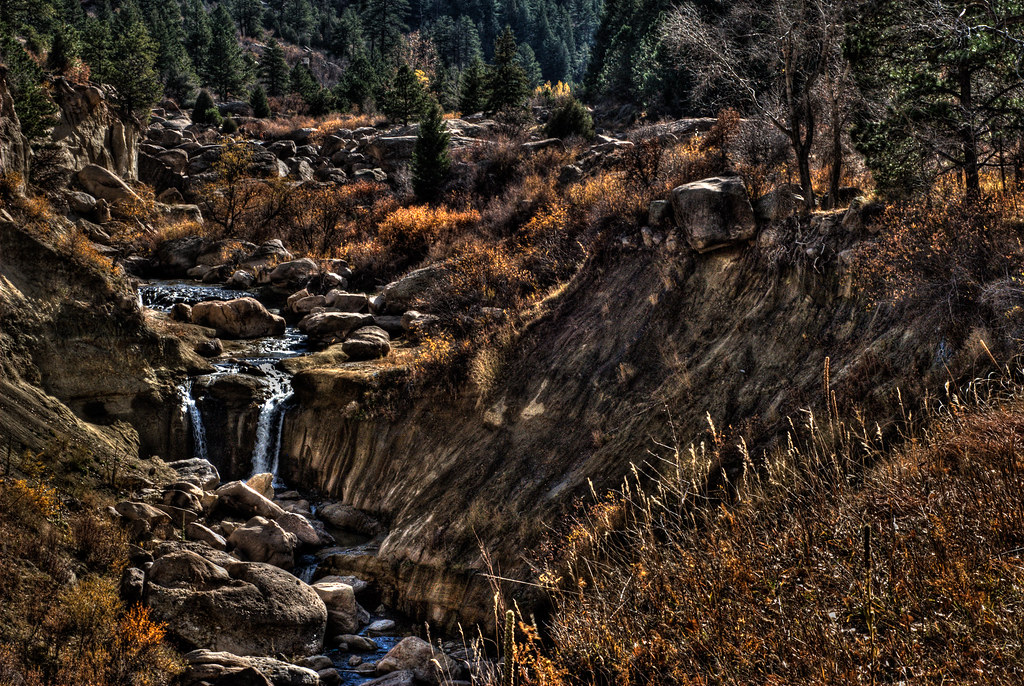 Rimrock TrailHiking · ~15 min drivePhoto: mason bryant, CC BY-SA 2.0 (via Flickr)
- Inner Canyon TrailHiking · ~15 min drivePhoto: mason bryant, CC BY-SA 2.0 (via Flickr)
- Cherry Creek TrailHiking · ~16 min drivePhoto: mason bryant, CC BY-SA 2.0 (via Flickr)
 Pinery Loop TrailHiking · ~17 min drivePhoto: jefbrr, CC BY 2.0 (via Flickr)
 Mitchell Creek Canyon TrailHiking · ~18 min drivePhoto: gregor_y, CC BY-SA 2.0 (via Flickr)
 The Pinery TrailHiking · ~19 min drivePhoto: jefbrr, CC BY 2.0 (via Flickr)
Also worth it near here
Best time to visit Town Trail
Best months: May–October. Best months have typical highs of 55–85 °F, lows of 30 °F or warmer (32 °F where the station doesn't record snow), at most one snowy day and no more than 12 wet days.
Jan
43° / 18°
5 wet
Feb
44° / 18°
5 wet
Mar
52° / 25°
7 wet
Apr
58° / 30°
8 wet
May
67° / 40°
10 wet
Jun
80° / 49°
10 wet
Jul
85° / 55°
12 wet
Aug
82° / 54°
12 wet
Sep
76° / 46°
8 wet
Oct
63° / 35°
6 wet
Nov
52° / 25°
5 wet
Dec
43° / 17°
5 wet
Typical high / low (°F) and days with rain or snow, 1991–2020. Measured at Elizabeth 2nw, CO, 2.3 mi away at 6,611 ft. This station doesn't record snowfall. Source: NOAA NCEI U.S. Climate Normals 1991–2020.
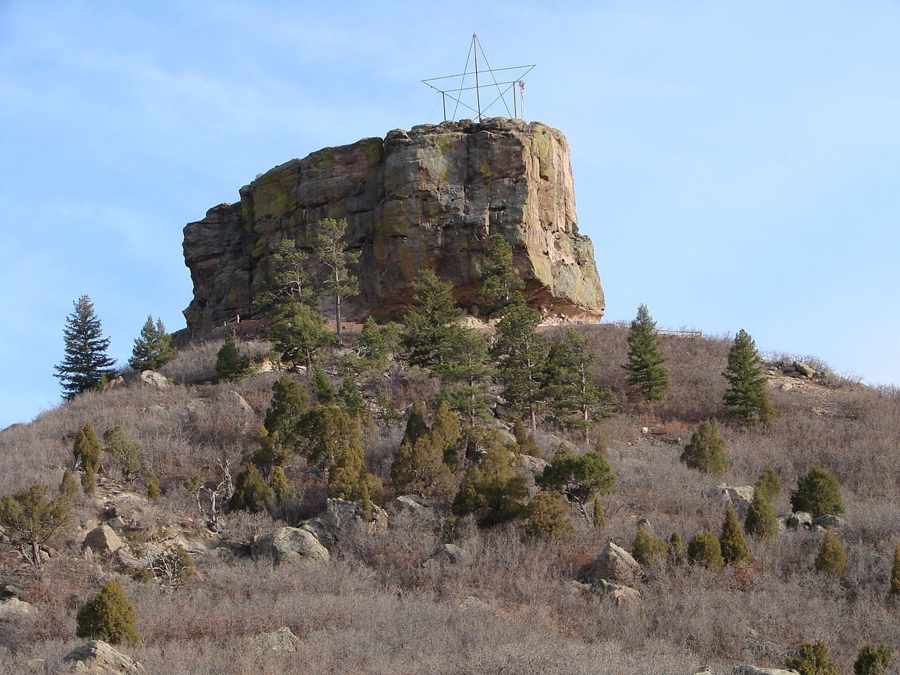
Map and trail data © OpenStreetMap contributors
